
Login

Forgotten password?

Cookies have to be accepted!
Your browser's cookie functionality is disabled. Please enable this functionality.

Not a member yet?

Register now
Login

Available for registred users only

Log in to use this feature.

Forgotten password?

Cookies have to be accepted!
Your browser's cookie functionality is disabled. Please enable this functionality.

Not a member yet?

Register now
Filter
Categories
Advanced filters
  • Distance (km)
  • Height
Save filters Reset filter

TrackRank

QRCode

Technical data

Distance105,8 km Height1826 m Way down2489 m Duration2 days 0 h Date17.03.2020
Scores Author User Landscape Fun factor Fitness Technique

Statistics

461 Views Scores 12 Downloads Average
Rate
  • Track data sheet
  • Directions
  • Downloads

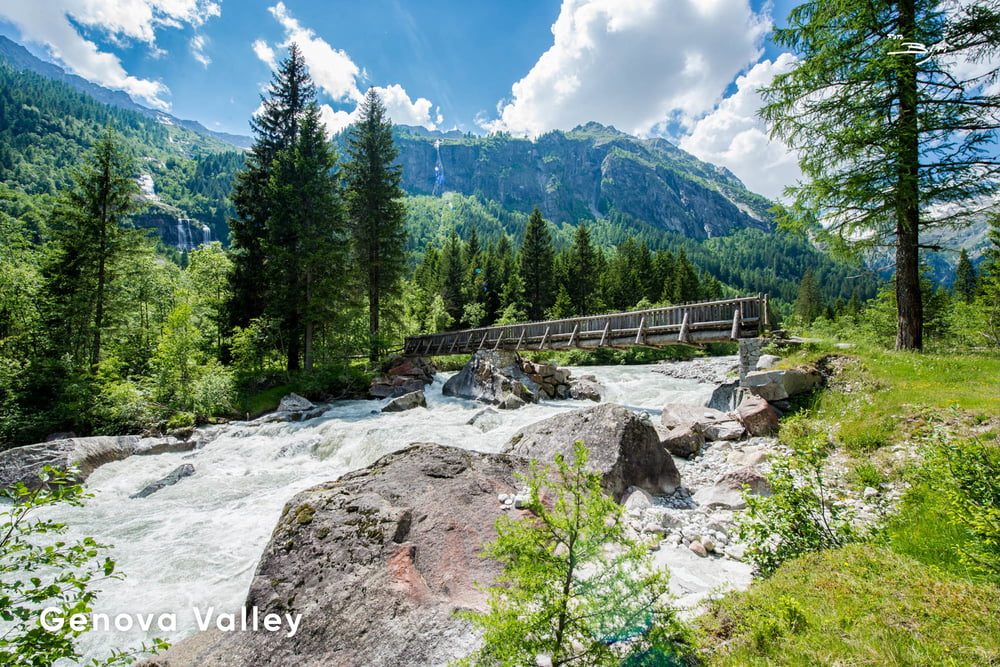
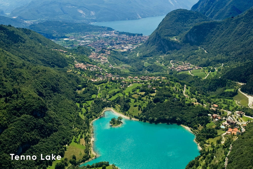
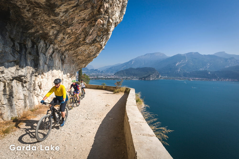
The Dolomiti-Garda DOGA alpine cycle route crosses the magnitude of the Natural Park Adamello Dolomiti Brenta to reach the picturesque Garda Lake in Trentino. The route has a distance of 100 km along tarmac and some gravel sections. Starting in Malè in Val di Sole, the route meanders between remote valleys, alpine villages and magnificent landscapes as far as the eye can see.

This is the "Dolce Vita Variante" of the classic DOGA Cycling Route. It is an easier version, also suitable for the less trained, as it avoids climbing the Daone Pass.

Further information at

https://www.doga-cycling.it/en/

Tour gallery

Tour map and elevation profile

  • Open Street Map
  • Google
Minimum height 70 m Maximum height 1666 m Detailed view

More about the tour author

Helios_Bolzano
Member since 2020

Send private message

Comments

More about the tour author

Helios_Bolzano
Member since 2020

Send private message
Share track
Add to my favorites
Remove from my favorites
Edit tags
My score
Rate
Track: DOGA Variante (Dolomiti-Garda Alpine Cycling Route) - Dolce Vita
Type: Trekkingbike
Distance: 105,8 km
Evaluated on:
Duration:
Day(s)
Hour(s)
Minute(s)
Score: Landscape Fun factor Fitness Technique