Login

Forgot your login?

Cookies have to be accepted!
Your browser's cookie functionality is disabled. Please enable this functionality.

Not a member yet?

Register now
Login

Available for registred users only

Log in to use this feature.

Forgot your login?

Cookies have to be accepted!
Your browser's cookie functionality is disabled. Please enable this functionality.

Not a member yet?

Register now
Filter
Categories
Advanced filters
  • Distance (km)
  • Height
Save filters Reset filter

TrackRank

QRCode

Technical data

Distance19,1 km Height594 m Way down598 m Duration05:28 h:m Date06.05.2020
Scores Author Landscape Fun factor Fitness Technique

Statistics

180 Views Scores 18 Downloads Average
Rate
  • Track data sheet
  • Directions
  • Downloads
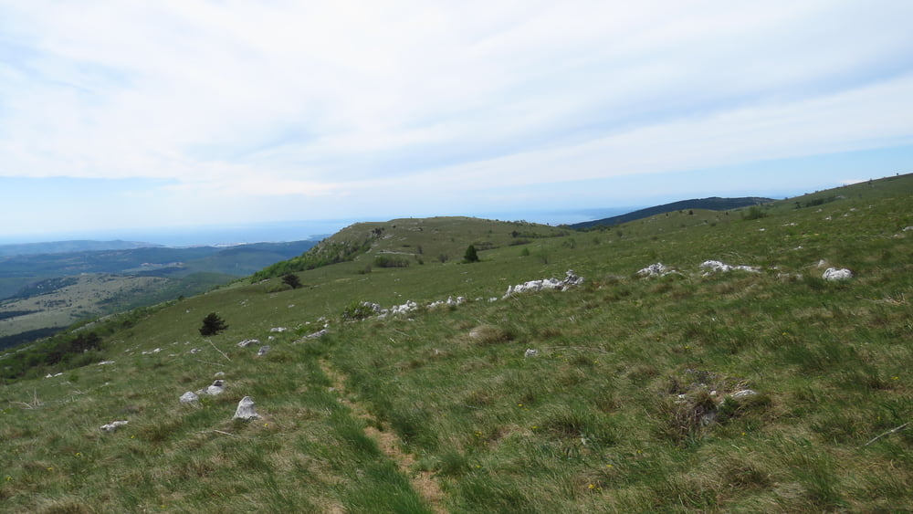
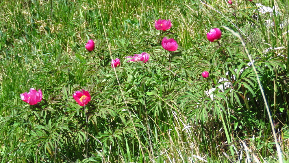
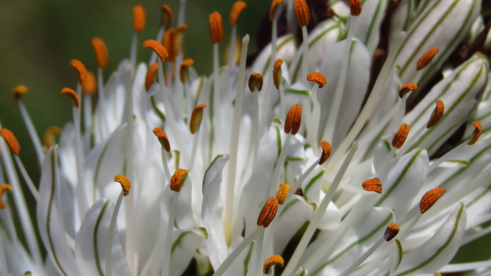
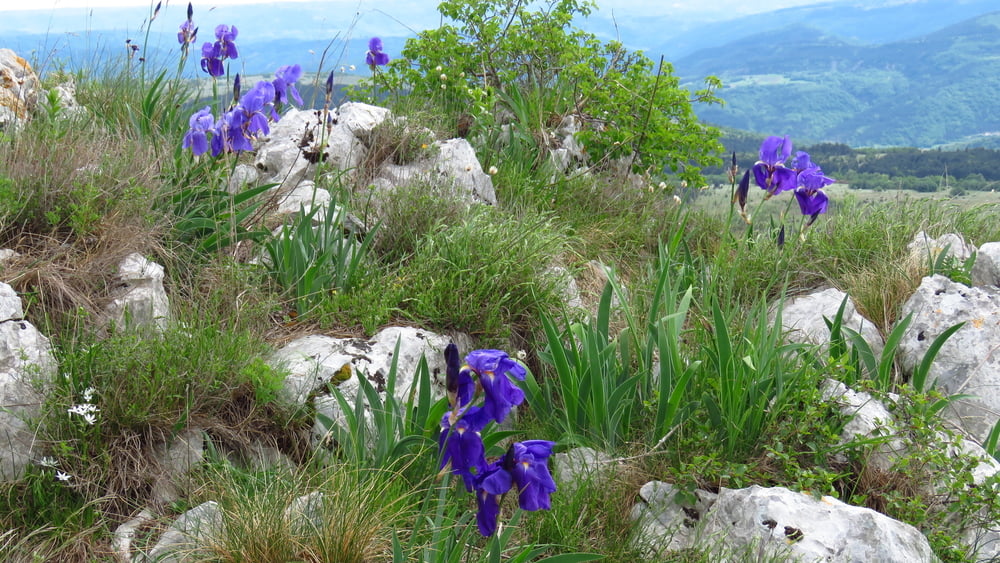
Šel sem iskat Gorsko logarico in tri na travnikih pod Kavčičem tudi videl. Zlati koreni in potonke šele začenjajo s cvetenjem, narcis pa je bilo kar nekaj. Malo naprej od Kojnika sem prehitel štiri pohodnike, potem pa nisem videl nikogar več. Pihalo je okrog 40 km/h, včasih pa tudi do 70.

Tour gallery

Tour map and elevation profile

  • Open Street Map
  • Google
Minimum height 468 m Maximum height 890 m Detailed view

More about the tour author

sandibor
Member since 2017

Send private message

Comments

GPS tracks

Trackpoints
  • GPX / Garmin Map Source (gpx) download
  • TCX / Garmin Training Center® (tcx) download
  • CRS / Garmin Training Center® (crs) download
  • Google Earth (kml) download
  • G7ToWin (g7t) download
  • TTQV (trk) download
  • Overlay (ovl) download
  • Fugawi (txt) download
  • Kompass (DAV) Track (tk) download
  • Track data sheet (pdf) download
  • Original file of the author (gpx) download

More about the tour author

sandibor
Member since 2017

Send private message
Share track
Add to my favorites
Remove from my favorites
Edit tags
My score
Rate
Track: Podgorje-Kojnik-Kavčič-Lipnik-Podgorje
Type: Hiking
Distance: 19,1 km
Evaluated on:
Duration:
Day(s)
Hour(s)
Minute(s)
Score: Landscape Fun factor Fitness Technique