


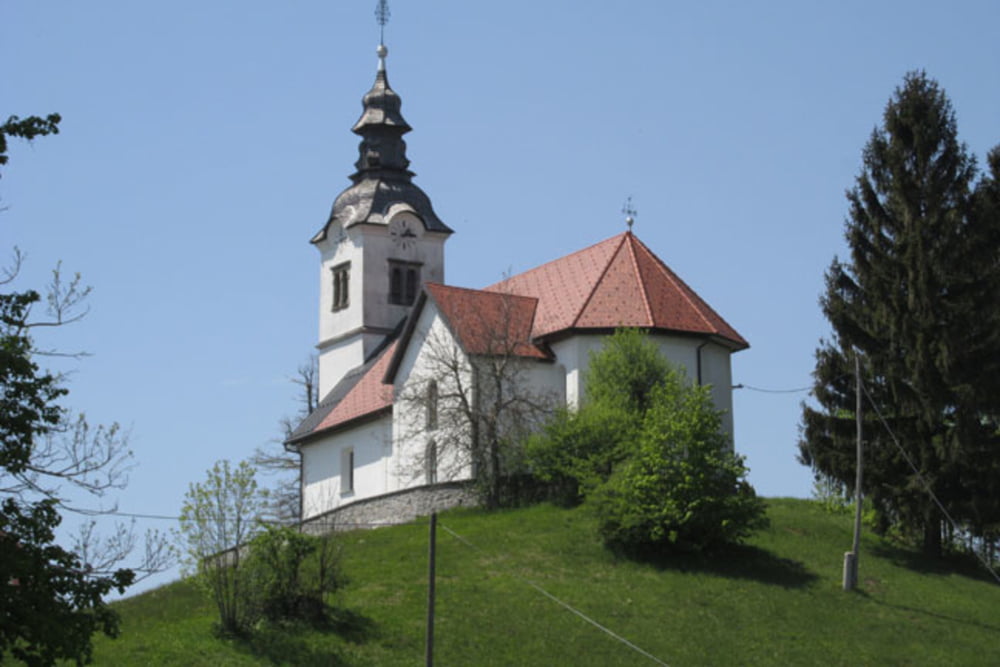
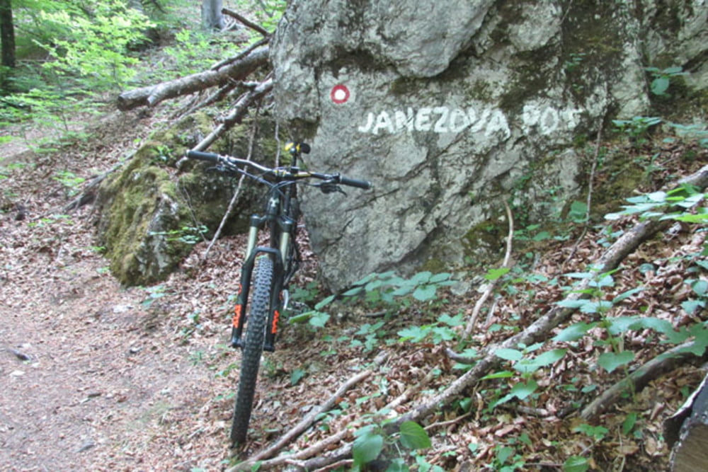
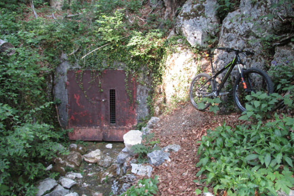
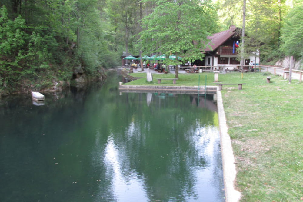
Betajnova-Stara Vrhnika-Kuren-Planina nad Vrhniko-Ulovka-Mizni Dol-Smrečje-Vrh Sv.Treh Kraljev-Čakovc-Hleviše-Hlevni Vrh-Rovte-Gradišeč-Petkovec-Turk-Travni vrh-Zaplana-Janezova pot-Lintvern-Strmica-Stari Maln-Betajnova
Further information at
https://mtb-itd.si/Tour gallery
Tour map and elevation profile
Minimum height 282 m
Maximum height 896 m
More about the tour author
|
|
andrejno |
Comments

Betajnova-Stara Vrhnika-Kuren-Planina nad Vrhniko-Ulovka-Mizni Dol-Smrečje-Vrh Sv.Treh Kraljev-Čakovc-Hleviše-Hlevni Vrh-Rovte-Gradišeč-Petkovec-Turk-Travni vrh-Zaplana-Janezova pot-Lintvern-Strmica-Stari Maln-Betajnova
GPS tracks
Trackpoints-
GPX / Garmin Map Source (gpx) download
-
TCX / Garmin Training Center® (tcx) download
-
CRS / Garmin Training Center® (crs) download
-
Google Earth (kml) download
-
G7ToWin (g7t) download
-
TTQV (trk) download
-
Overlay (ovl) download
-
Fugawi (txt) download
-
Kompass (DAV) Track (tk) download
-
Track data sheet (pdf) download
-
Original file of the author (gpx) download
More about the tour author
|
|
andrejno |
Add to my favorites
Remove from my favorites
Edit tags
Open track
My score
Rate