


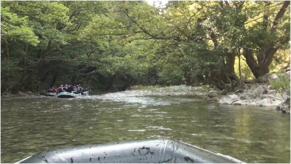
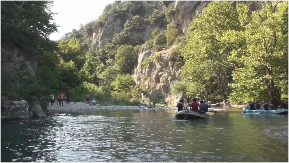
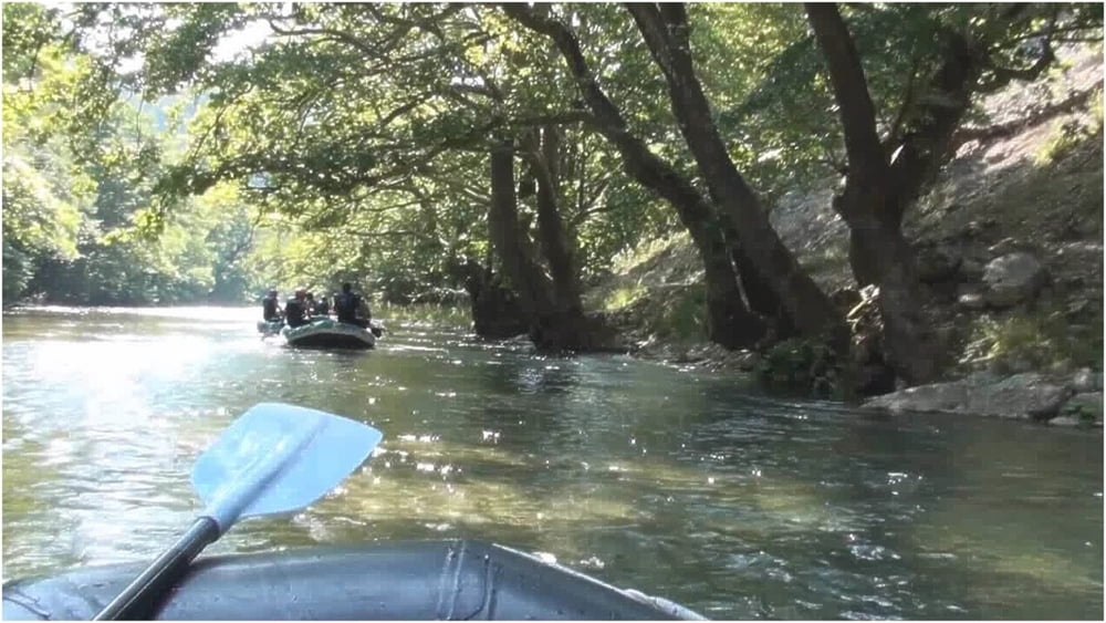
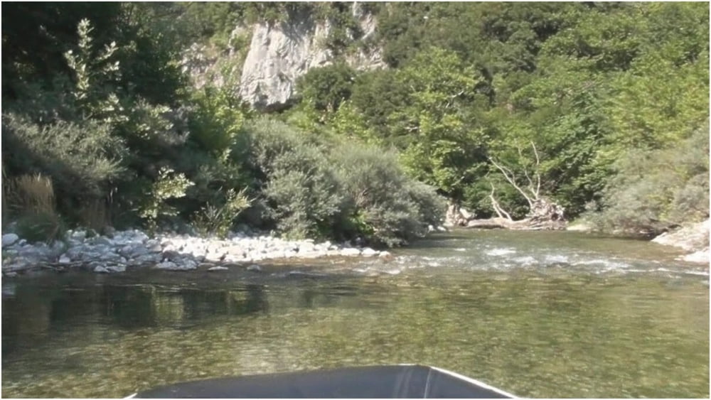
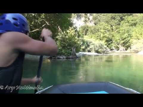
Rafting in River Voidomatis.
The Voidomatis is one of the cleanest rivers in Europe. Its springs are located in the Vickos Canyon (protected area). The river is passing through steep slopes, riparian forest and ends at the Konitsa plateau, where it joins the river Aoos.
The rafting route starts from the bridge of Aristi and finishes at the bridge Klidonia. It is a relatively easy route lasting one hour, with a little difficulty at the end where there is a small, artificial waterfall 2m height.
Rafting in Fluss Voidomatis.
Der Voidomatis ist einer der saubersten Flüsse Europas. Seine Quellen befinden sich in der Schlucht von Vickos (geschützter Bereich). Der Fluss fliesst durch steile Hänge, Auwald und endet an der Konitsa Hochebene, wo er mit dem Fluss Aoos verbindet.
Die Rafting Tour beginnt von der Brücke der Aristi und endet in der Brücke Klidonia. Es ist ein relativ einfacher Weg, einstündig, mit eine Schwierigkeit am Ende, wo es einen kleinen, künstlichen Wasserfall 2m Höhe gibt.
Next Tour : Hiking to the Springs of River Voidomatis.
https://www.gps-tour.info/en/tracks/detail.173195.html
Further information at
https://en.wikipedia.org/wiki/VoidomatisTour gallery
Tour map and elevation profile
Minimum height 400 m
Maximum height 444 m
More about the tour author
|
|
Argomultimedia |
Comments

Ioannina is the largest city in Epirus and is 420 km from Athens. From Ioannina we go to the village of Aristi (distance Ioannina - Aristi 50 km). There we will get instructions from the locals for rafting on the river. Alternatively, we can be informed from the websites of the companies that offer outdoor activities in Greece.
Ioannina ist die größte Stadt in Epirus. Es ist 420 km von Athen entfernt. Von Ioannina fahren wir in das Dorf Aristi (Entfernung Ioannina - Aristi 50 km). Dort erhalten wir Anweisungen von Einheimischen zum Rafting auf dem Fluss. Alternativ können wir über die Websites von Unternehmen informiert werden, die Outdoor-Aktivitäten in Griechenland anbieten.
GPS tracks
Trackpoints-
GPX / Garmin Map Source (gpx) download
-
TCX / Garmin Training Center® (tcx) download
-
CRS / Garmin Training Center® (crs) download
-
Google Earth (kml) download
-
G7ToWin (g7t) download
-
TTQV (trk) download
-
Overlay (ovl) download
-
Fugawi (txt) download
-
Kompass (DAV) Track (tk) download
-
Track data sheet (pdf) download
-
Original file of the author (gpx) download
More about the tour author
|
|
Argomultimedia |
Add to my favorites
Remove from my favorites
Edit tags
Open track
My score
Rate