


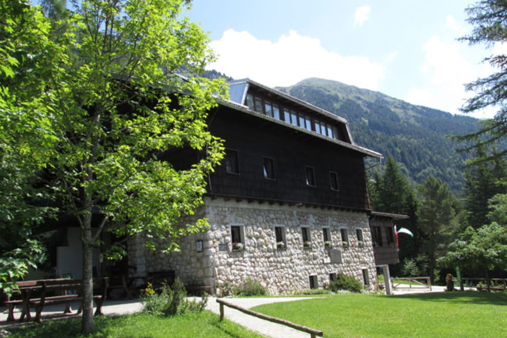
Moste-Završnica-Zabreška planina-Žirovniška planina-Valvazorjev dom-Potoška planina-Planina Stamare-Javorniški Rovt-Pristava-Križevec-Planina pod Golico-Prihodi-Javorniški Rovt-Koroška Bela-Moste
Further information at
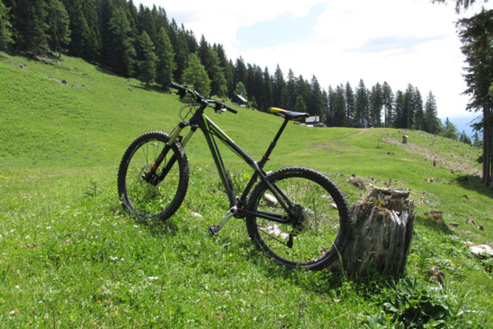
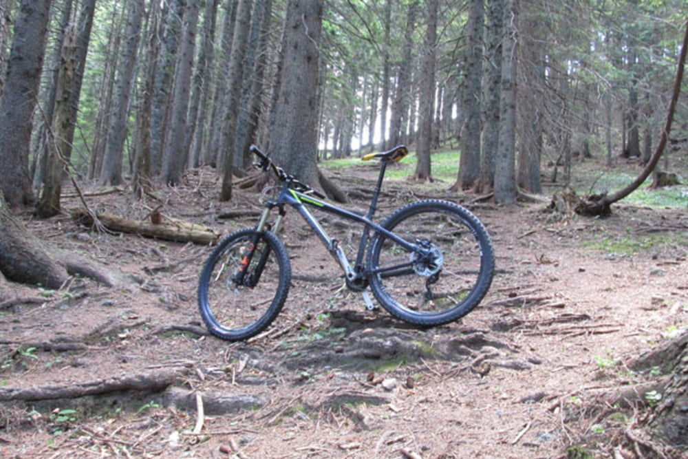
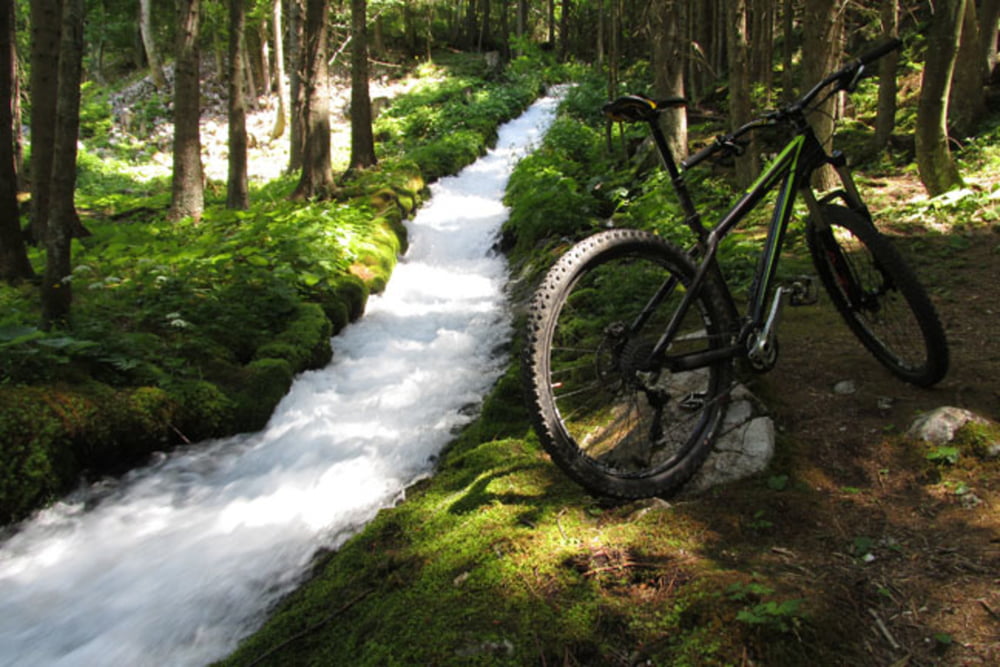
https://mtb-itd.si/Tour gallery
Tour map and elevation profile
Minimum height 555 m
Maximum height 1430 m
More about the tour author
|
|
andrejno |
Comments

More about the tour author
|
|
andrejno |
Add to my favorites
Remove from my favorites
Edit tags
Open track
My score
Rate