

Sehr schön zu fahrende MTB Tour.
Start ist in der Ortschaft Weißbach. Hier gibt es einige Parkplätze wo man sein Auto abstellen kann.
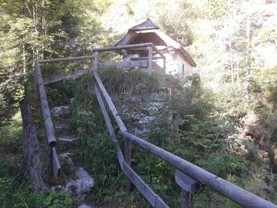
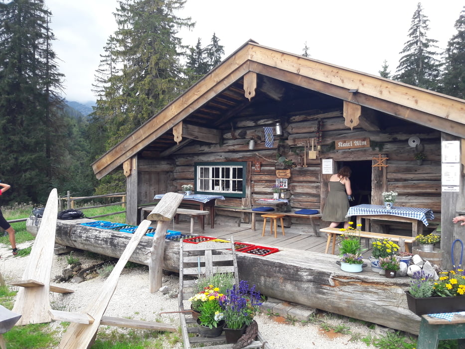
Danach geht es ein paar Meter auf der Hauptstrasse , und dann gleich links abbiegen Richtung Harbachalm. Der erste Anstieg steht bevor. Nur kann man sich gar nicht meh verfahren. Es ist alles gut ausgeschildert. Die nächste Alm ist die Bichleralm weiter zur Keitlalm und noch zur Reiteralm.
Reiteralm gibts super Kuchen und Käse zum mitnehmen.
Danach geht es nur noch fast bergab .
Es sind aber ein paar steile Rampen zu bewältigen. Technisch ist die Tour sehr einfach .
Viel Spass beim nachfahren
Tour gallery


Tour map and elevation profile
Minimum height 622 m
Maximum height 994 m
More about the tour author
|
|
franz1962 |
Comments

GPS tracks
Trackpoints-
GPX / Garmin Map Source (gpx) download
-
TCX / Garmin Training Center® (tcx) download
-
CRS / Garmin Training Center® (crs) download
-
Google Earth (kml) download
-
G7ToWin (g7t) download
-
TTQV (trk) download
-
Overlay (ovl) download
-
Fugawi (txt) download
-
Kompass (DAV) Track (tk) download
-
Track data sheet (pdf) download
-
Original file of the author (gpx) download
More about the tour author
|
|
franz1962 |
Add to my favorites
Remove from my favorites
Edit tags
Open track
My score
Rate