


Dies ist die ofizielle MTB Bäckersteigtour in Eisenstadt am Leithaberg.
Ausgehend von Eisenstadt Bahnhof, einen Abstecher rauf auf die Gloriette und eine Aussichtswarte dort, danach rüber zum ORF am Wald.
Von dort an ist die Strecke gut ausgewiesen. Es geht zuerst einen alten Hohlweg rauf, und danach einen Forstweg runter nach Loretto. Von Loretto gehts auch über Asphalt und Forstwege nach Hornstein. Von Hornstein gehts nochmal rauf, wobei nun auch schmale Pfade befahren werden.
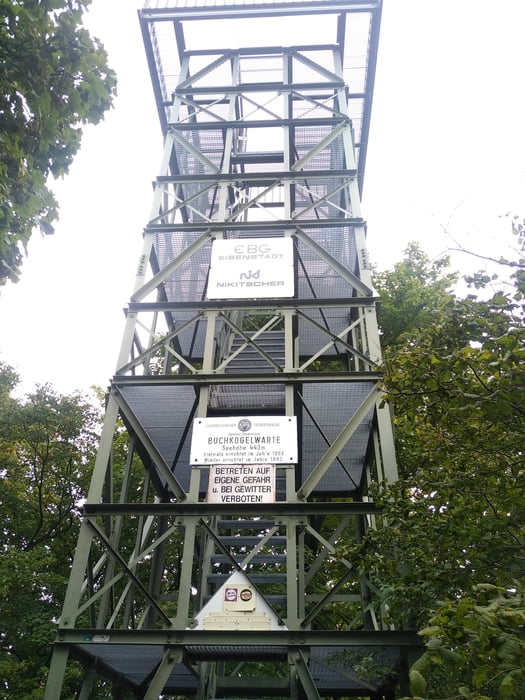
Einen kleinen Zwischenstop hab ich beim Steinbruch und auf der Buchkogelwarte eingelegt.
Vom Wald raus auf die Straße runter nach Eisenstadt, stellt den Abschluss dar.
Further information at
https://www.eisenstadt.gv.at/fileadmin/eisenstadt.gv.at/Benutzerdateien/Dokumente/Freizeit/Sport/Moutainbikekarte.pdfTour gallery


Tour map and elevation profile
Minimum height 202 m
Maximum height 496 m
More about the tour author
|
|
Jonas6x62 |
Comments

Mit der Bahn nach Eisenstadt.
https://www.raaberbahn.at/
GPS tracks
Trackpoints-
GPX / Garmin Map Source (gpx) download
-
TCX / Garmin Training Center® (tcx) download
-
CRS / Garmin Training Center® (crs) download
-
Google Earth (kml) download
-
G7ToWin (g7t) download
-
TTQV (trk) download
-
Overlay (ovl) download
-
Fugawi (txt) download
-
Kompass (DAV) Track (tk) download
-
Track data sheet (pdf) download
-
Original file of the author (gpx) download
More about the tour author
|
|
Jonas6x62 |
Add to my favorites
Remove from my favorites
Edit tags
Open track
My score
Rate