Login

Forgot your login?

Cookies have to be accepted!
Your browser's cookie functionality is disabled. Please enable this functionality.

Not a member yet?

Register now
Login

Available for registred users only

Log in to use this feature.

Forgot your login?

Cookies have to be accepted!
Your browser's cookie functionality is disabled. Please enable this functionality.

Not a member yet?

Register now
Filter
Categories
Advanced filters
  • Distance (km)
  • Height
Save filters Reset filter

TrackRank

QRCode

Technical data

Distance11,8 km Height692 m Way down688 m Duration04:30 h:m Date05.08.2020
Scores Author Landscape Fun factor Fitness Technique

Statistics

120 Views Scores 4 Downloads Average
Rate
  • Track data sheet
  • Directions
  • Downloads

Od parkirišča v Razdrtem sem šel malo po svoje, pa je bilo čisto zanimivo. Višje sem se priključil položni poti. Pri Hieronimu je že kar precej vleklo... Nazaj grede sem šel še na Grmado, tam pa sem nameril 148,9 km/h! Še vedel nisem, kdaj mi je odneslo kapo z glave. Nekaj časa sem sedel in užival.

Nazaj sem šel po isti poti.

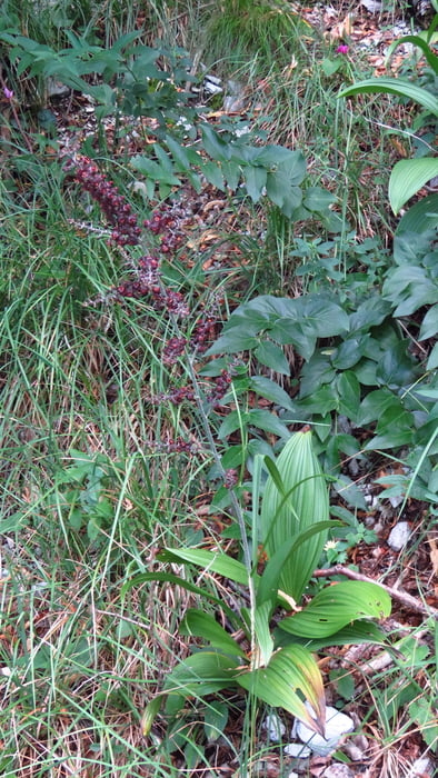
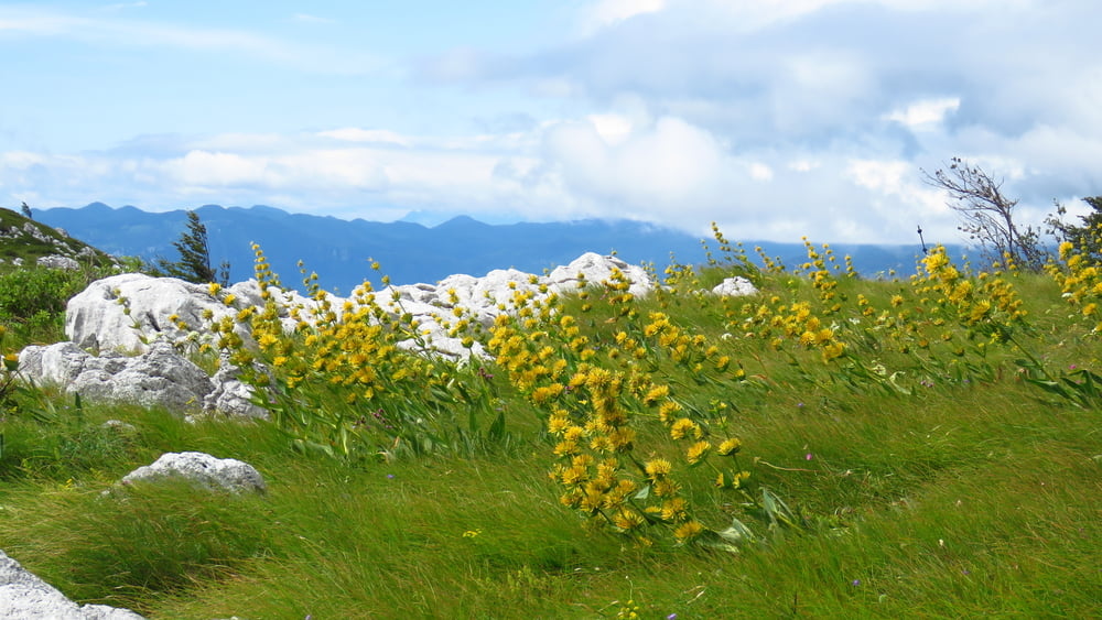
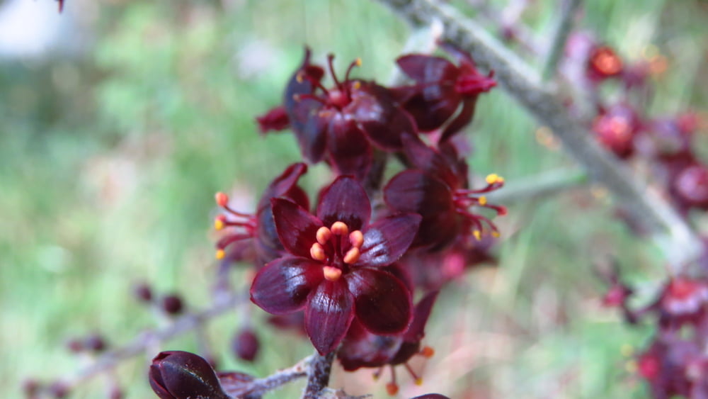
Na vrhu je bilo precej cvetočega Košutnika, prvič sem videl Črno čmeriko.

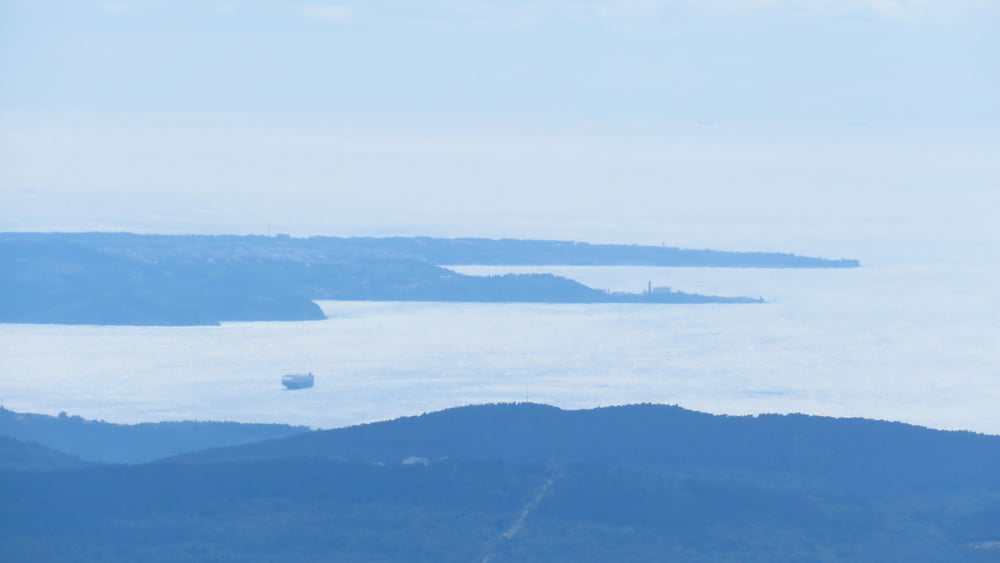
Na morje se je kar lepo videlo.

Tour gallery

Tour map and elevation profile

  • Open Street Map
  • Google
Minimum height 605 m Maximum height 1265 m Detailed view

More about the tour author

sandibor
Member since 2017

Send private message

Comments

GPS tracks

Trackpoints
  • GPX / Garmin Map Source (gpx) download
  • TCX / Garmin Training Center® (tcx) download
  • CRS / Garmin Training Center® (crs) download
  • Google Earth (kml) download
  • G7ToWin (g7t) download
  • TTQV (trk) download
  • Overlay (ovl) download
  • Fugawi (txt) download
  • Kompass (DAV) Track (tk) download
  • Track data sheet (pdf) download
  • Original file of the author (gpx) download

More about the tour author

sandibor
Member since 2017

Send private message
Share track
Add to my favorites
Remove from my favorites
Edit tags
My score
Rate
Track: Razdrto-Pleša-Razdrto
Type: Mountain hiking
Distance: 11,8 km
Evaluated on:
Duration:
Day(s)
Hour(s)
Minute(s)
Score: Landscape Fun factor Fitness Technique