


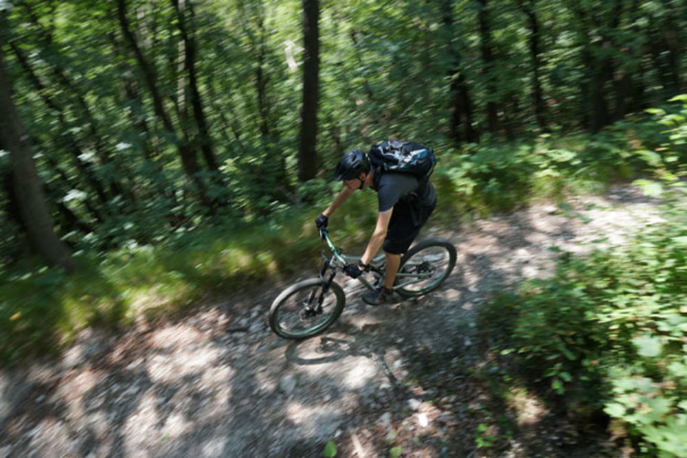
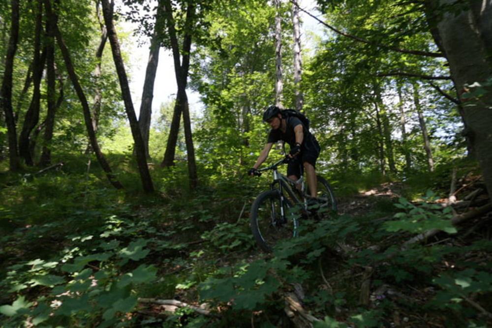
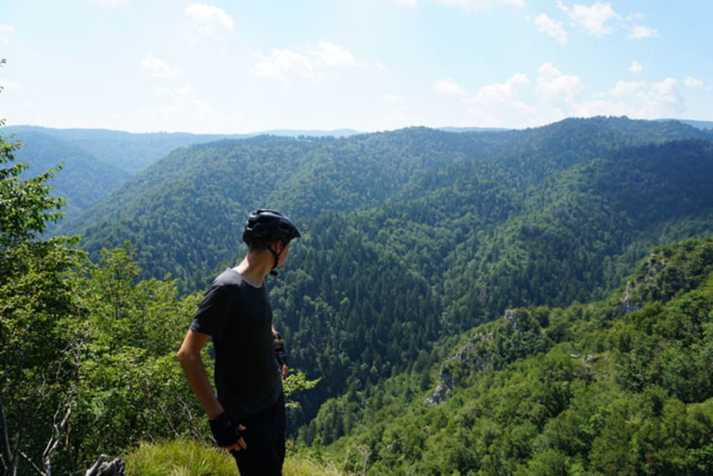
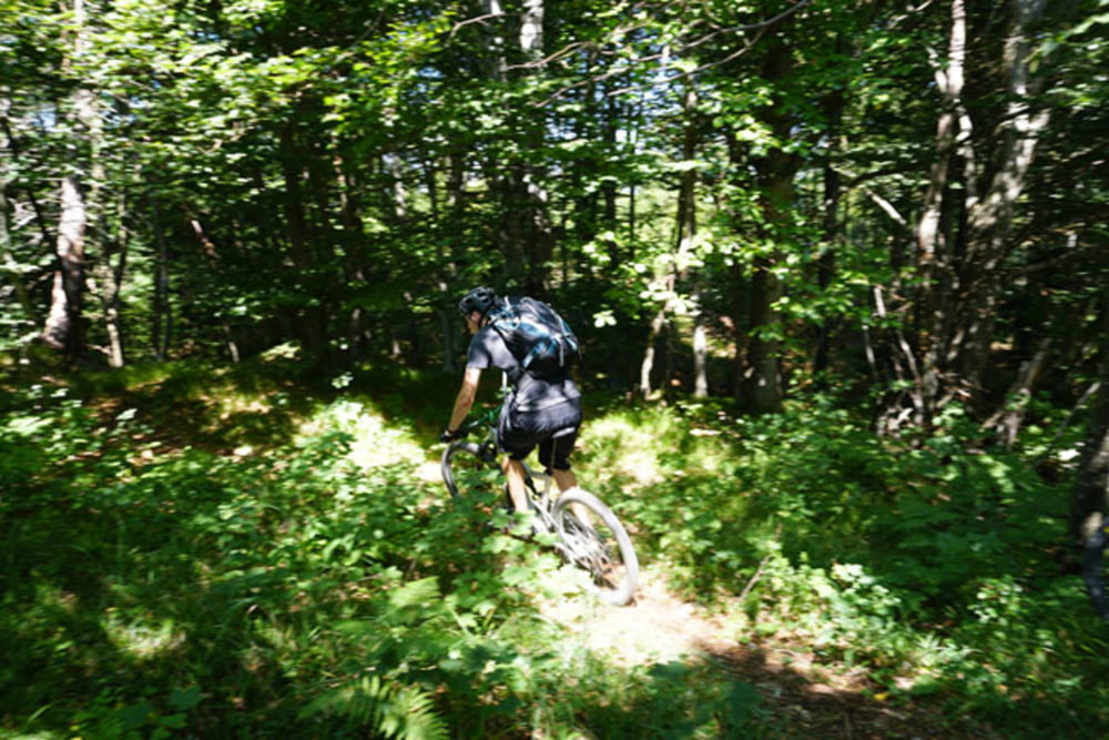
Rakitna-Mesnice-Brancljeva senožet-Krim-Dolenje senožeti-Partizanska bolnica Krvavice-Benko-Trenk-Ustje-Boršt-Rakitna
Further information at
https://mtb-itd.si/poti/krim_iz_rakitneTour gallery
Tour map and elevation profile
Minimum height 621 m
Maximum height 1097 m
More about the tour author
|
|
andrejno |
Comments

Rakitna-Mesnice-Brancljeva senožet-Krim-Dolenje senožeti-Partizanska bolnica Krvavice-Benko-Trenk-Ustje-Boršt-Rakitna
GPS tracks
Trackpoints-
GPX / Garmin Map Source (gpx) download
-
TCX / Garmin Training Center® (tcx) download
-
CRS / Garmin Training Center® (crs) download
-
Google Earth (kml) download
-
G7ToWin (g7t) download
-
TTQV (trk) download
-
Overlay (ovl) download
-
Fugawi (txt) download
-
Kompass (DAV) Track (tk) download
-
Track data sheet (pdf) download
-
Original file of the author (gpx) download
More about the tour author
|
|
andrejno |
Add to my favorites
Remove from my favorites
Edit tags
Open track
My score
Rate