Login

Forgot your login?

Cookies have to be accepted!
Your browser's cookie functionality is disabled. Please enable this functionality.

Not a member yet?

Register now
Login

Available for registred users only

Log in to use this feature.

Forgot your login?

Cookies have to be accepted!
Your browser's cookie functionality is disabled. Please enable this functionality.

Not a member yet?

Register now
Filter
Categories
Advanced filters
  • Distance (km)
  • Height
Save filters Reset filter

TrackRank

QRCode

Technical data

Distance45,8 km Height498 m Way down492 m Duration00:00 h:m Date19.06.2021
Scores Author Landscape Fun factor Fitness Technique

Statistics

95 Views Scores 10 Downloads Average
Rate
  • Track data sheet
  • Directions
  • Downloads
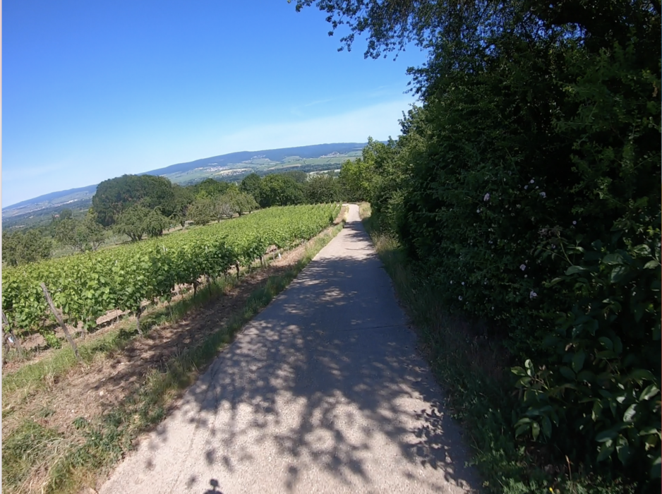
Eine nette Runde von Mainz-Gonsenheim über das Finthener Hochplateau zum Ingelheimer Bismarckturm und zurück über das Rheinufer. Im Juni 2021 wurden wir mit einer Blütenpracht belohnt, die uns immer wieder zwischen den vielfältigen und abwechslungsreichen Ausblicken überraschte. Am Ingelheimer Turm ein schöner Biergarten, auf dem Rückweg auch noch ein Bistro in Ingelheim und am Rhein der Biergarten Heidenfahrt - so lässt es sich gut biken. Diese Tour ist definitv nichts für Downhill-Freaks, obwohl ein paar schöne Singletrails dabei sind. Wer Cruising und MTB-Genuss sucht, macht hier nichts falsch ...
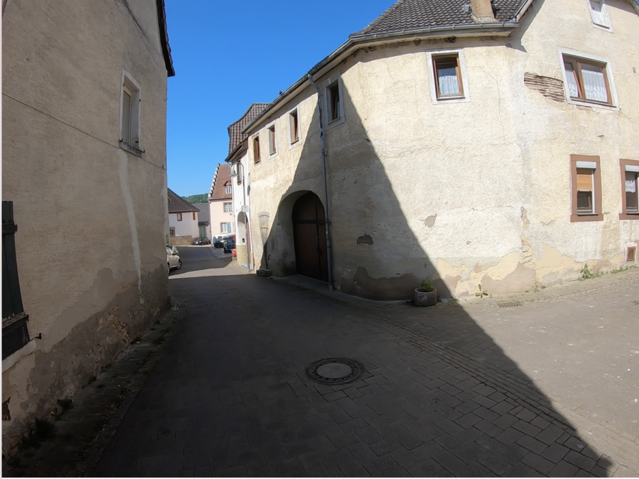
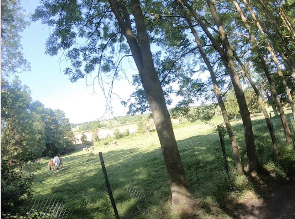
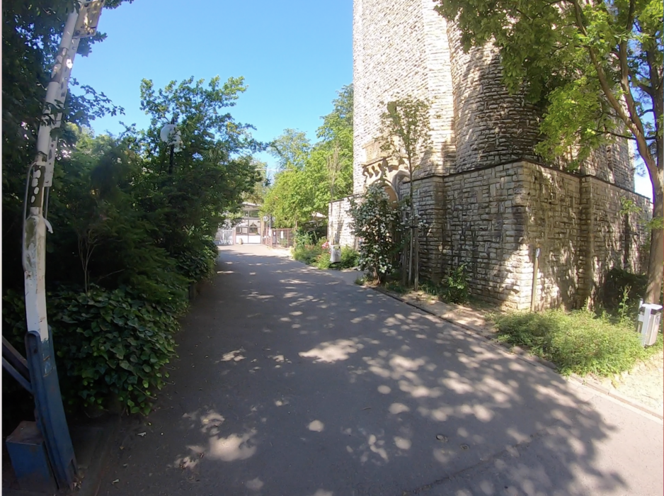
Tour gallery

Tour map and elevation profile

  • Open Street Map
  • Google
Minimum height 87 m Maximum height 244 m Detailed view

More about the tour author

Telebike
Member since 2008

Send private message

Comments

... irgendwo in Gonsenheim und dann Richtung Finthen ... 

GPS tracks

Trackpoints
  • GPX / Garmin Map Source (gpx) download
  • TCX / Garmin Training Center® (tcx) download
  • CRS / Garmin Training Center® (crs) download
  • Google Earth (kml) download
  • G7ToWin (g7t) download
  • TTQV (trk) download
  • Overlay (ovl) download
  • Fugawi (txt) download
  • Kompass (DAV) Track (tk) download
  • Track data sheet (pdf) download
  • Original file of the author (gpx) download

More about the tour author

Telebike
Member since 2008

Send private message
Share track
Add to my favorites
Remove from my favorites
Edit tags
My score
Rate
Track: FLower-Power
Type: Mountain bike
Distance: 45,8 km
Evaluated on:
Duration:
Day(s)
Hour(s)
Minute(s)
Score: Landscape Fun factor Fitness Technique