Bovec-Čezsoča-Log Čezsoški-Magozd-Jezerca-Drežniške Ravne-Pri Koritu-Planina Zapleč-Planina Zaprikraj-Mali Homec-Planina Predolina (from here on forbidden for bikes - extremely dangerous and destroyed path)-Planina Slatenik-Čez Utro-Planina Golobar-V Malni-Soška pot-Jablenca-Čezsoča-Bovec
Further information at
https://mtb-itd.si/poti/zaprikraj_in_golobarTour gallery
Tour map and elevation profile
Minimum height 318 m
Maximum height 1290 m
Comments
Bovec-Čezsoča-Log Čezsoški-Magozd-Jezerca-Drežniške Ravne-Pri Koritu-Planina Zapleč-Planina Zaprikraj-Mali Homec-Planina Predolina (from here on forbidden for bikes - extremely dangerous and destroyed path)-Planina Slatenik-Čez Utro-Planina Golobar-V Malni-Soška pot-Jablenca-Čezsoča-Bovec
GPS tracks
Trackpoints-
GPX / Garmin Map Source (gpx) download
-
TCX / Garmin Training Center® (tcx) download
-
CRS / Garmin Training Center® (crs) download
-
Google Earth (kml) download
-
G7ToWin (g7t) download
-
TTQV (trk) download
-
Overlay (ovl) download
-
Fugawi (txt) download
-
Kompass (DAV) Track (tk) download
-
Track data sheet (pdf) download
-
Original file of the author (gpx) download
Add to my favorites
Remove from my favorites
Edit tags
Open track
My score
Rate

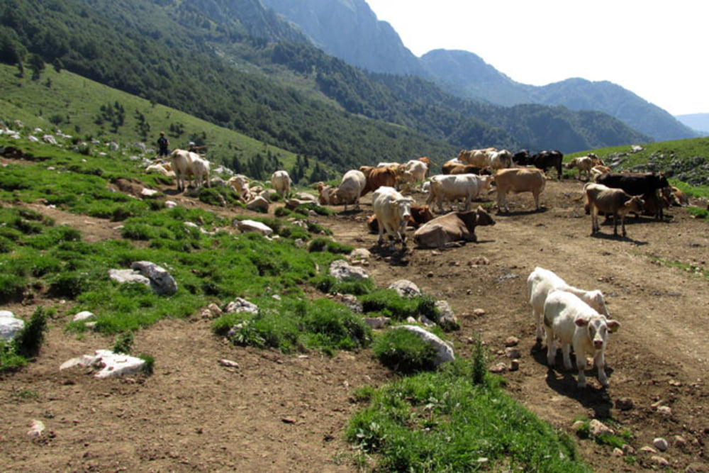
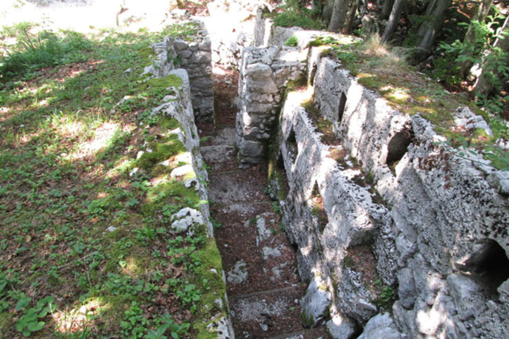
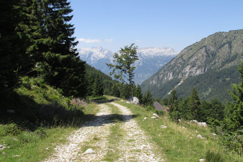
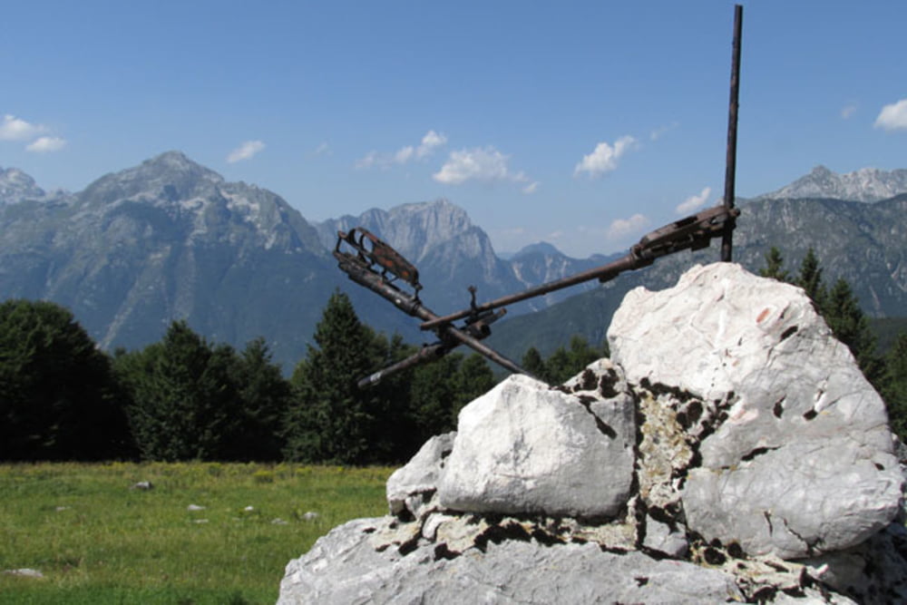
bis zur Alm sehr schön, danach No-Go
das Fahrverbot bei km30,9 ist nicht Schikane, sondern sehr wohl sinnvoll. Mittlerweile hat der Regen bei der Steilrinne (km32) den Weg vollends weggespült. Die Querung dieser wenigen Meter ist extrem schwer und gefährlich. Überhaupt sind die Trails von km30,9 bis in das Tal nur teilweise fahrbar. Mühsames Schieben, Tagen und im günstigen Fall nur einige blaue Flecken sind vorprogrammiert.
Ich empfehle die Tour bis zum Verbotsschild und auf gleichem Weg wieder zurück! Dann ist das eine wirklich schöne Tour.
answer to uhu59