Login

Forgot your login?

Cookies have to be accepted!
Your browser's cookie functionality is disabled. Please enable this functionality.

Not a member yet?

Register now
Login

Available for registred users only

Log in to use this feature.

Forgot your login?

Cookies have to be accepted!
Your browser's cookie functionality is disabled. Please enable this functionality.

Not a member yet?

Register now
Filter
Categories
Advanced filters
  • Distance (km)
  • Height
Save filters Reset filter

TrackRank

QRCode

Technical data

Distance40,1 km Height1627 m Way down1610 m Duration04:40 h:m Date25.06.2022
Scores Author Landscape Fun factor Fitness Technique

Statistics

266 Views Scores 17 Downloads Average
Rate
  • Track data sheet
  • Directions
  • Downloads
Kranjska Gora, Podkoren, Rateče, Peč, Tromeja, Korensko sedlo,  Kamnati vrh (pozor, vožnja med Tromejo in Bavhco je večji del prepovedana!!!), Sedlo Bavhica, Vošca, Jureževa planina, Robe Twist, Jelen, Kranjska gora

Further information at
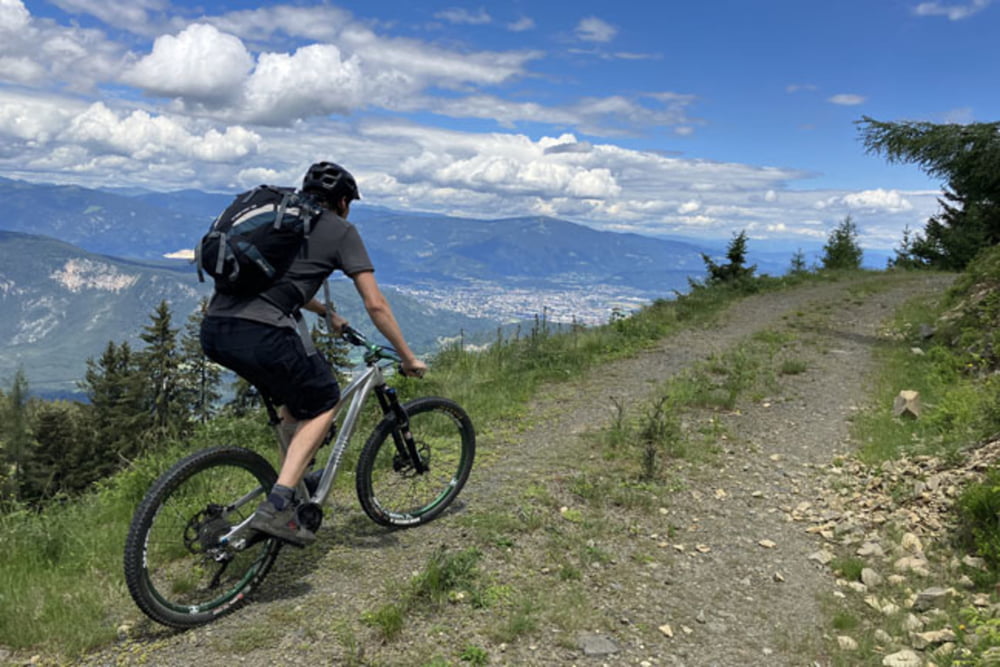
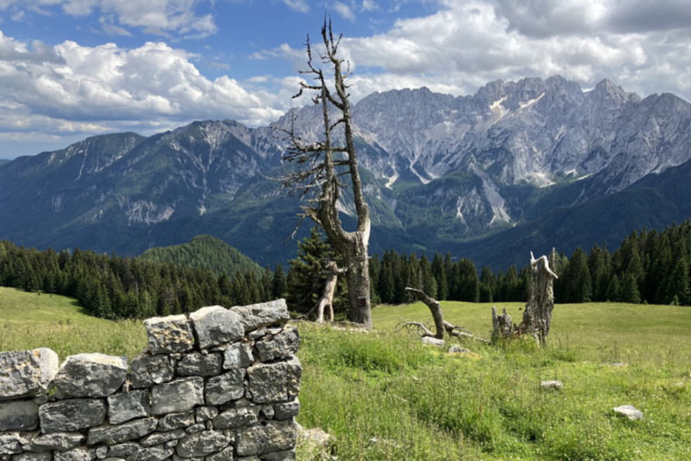
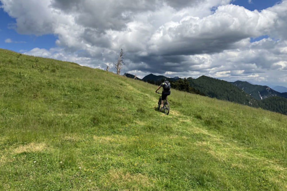
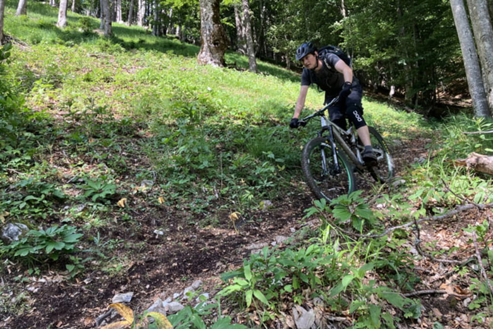
https://mtb-itd.si/poti/vosca

Tour gallery

Tour map and elevation profile

  • Open Street Map
  • Google
Minimum height 837 m Maximum height 1735 m Detailed view

More about the tour author

andrejno
Member since 2012

Send private message

Comments

Kranjska Gora, Podkoren, Rateče, Peč, Tromeja, Korensko sedlo,  Kamnati vrh (pozor, vožnja med Tromejo in Bavhco je večji del prepovedana!!!), Sedlo Bavhica, Vošca, Jureževa planina, Robe Twist, Jelen, Kranjska gora

GPS tracks

Trackpoints
  • GPX / Garmin Map Source (gpx) download
  • TCX / Garmin Training Center® (tcx) download
  • CRS / Garmin Training Center® (crs) download
  • Google Earth (kml) download
  • G7ToWin (g7t) download
  • TTQV (trk) download
  • Overlay (ovl) download
  • Fugawi (txt) download
  • Kompass (DAV) Track (tk) download
  • Track data sheet (pdf) download
  • Original file of the author (gpx) download

More about the tour author

andrejno
Member since 2012

Send private message
Share track
Add to my favorites
Remove from my favorites
Edit tags
My score
Rate
Track: Tromeja in Vošca
Type: Mountain bike
Distance: 40,1 km
Evaluated on:
Duration:
Day(s)
Hour(s)
Minute(s)
Score: Landscape Fun factor Fitness Technique