
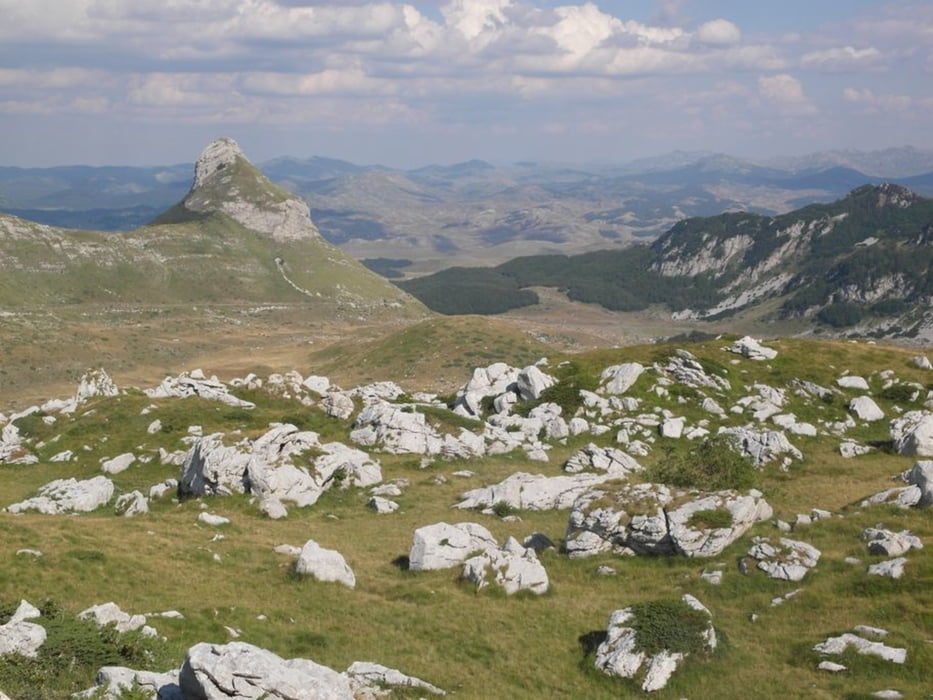

Einfache Rundtour am Rande des Durmitor-Nationalparks. Ich habe sie aus dem empfehlenswerten Rother-Wanderführer. Vom Wendepunkt aus könnte man zu zwei Gipfeln aufsteigen.
Diese Tour verläuft einfach in einem gemächlich ansteigenden Bergtal nach "hinten" und wieder zurück. Der Weg ist leider kaum markiert (und das ist auch der größte Nachteil dieser Tour). In dem Talgrund sind doch so viele Hügel, dass man nicht einfach die Seite wechseln kann. Es lohnt sich daher darauf zu achten, dass man auf der richtigen Strecke bleibt. Tatsächlich bin ich auf dem Rückweg von der Strecke abgekommen. Ich empfehle, dem GPS-Track von Rother zu folgen.
Tour map and elevation profile
Minimum height 1596 m
Maximum height 1912 m
More about the tour author

|
Rum2014 |
Comments

GPS tracks
Trackpoints-
GPX / Garmin Map Source (gpx) download
-
TCX / Garmin Training Center® (tcx) download
-
CRS / Garmin Training Center® (crs) download
-
Google Earth (kml) download
-
G7ToWin (g7t) download
-
TTQV (trk) download
-
Overlay (ovl) download
-
Fugawi (txt) download
-
Kompass (DAV) Track (tk) download
-
Track data sheet (pdf) download
-
Original file of the author (gpx) download
More about the tour author
|
|
Rum2014 |
Add to my favorites
Remove from my favorites
Edit tags
Open track
My score
Rate