Login

Forgot your login?

Cookies have to be accepted!
Your browser's cookie functionality is disabled. Please enable this functionality.

Not a member yet?

Register now
Login

Available for registred users only

Log in to use this feature.

Forgot your login?

Cookies have to be accepted!
Your browser's cookie functionality is disabled. Please enable this functionality.

Not a member yet?

Register now
Filter
Categories
Advanced filters
  • Distance (km)
  • Height
Save filters Reset filter

TrackRank

QRCode

Technical data

Distance59,0 km Height1527 m Way down1509 m Duration05:55 h:m Date06.05.2023
Scores Author Landscape Fun factor Fitness Technique

Statistics

197 Views Scores 3 Downloads Average
Rate
  • Track data sheet
  • Directions
  • Downloads
Grobnik-Zastenice-Dražice-Podkilavac-Mlake-Paka-Jurjeva cesta-Katalin (Gumanačka)-Lupova draga-Gumance-Trstenik-Suho-Sedlo Previjak-Gorničko-Mudni dol (strma kolesarska steza, mestoma izpostavljena, nesprijeta podlaga - na Trailforks označena rdeče!!!)-Podhum-Zastenice-Grobnik

Further information at
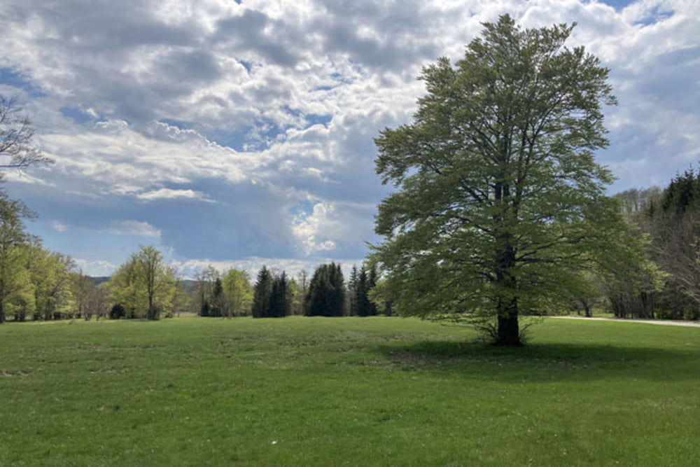
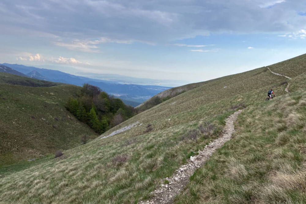
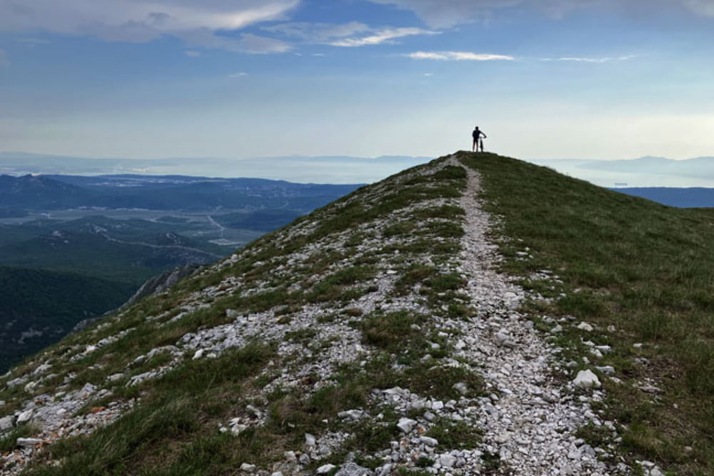
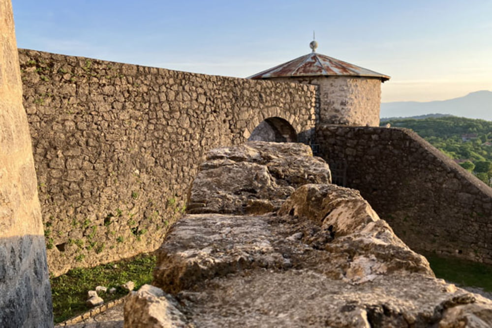
https://mtb-itd.si/poti/gumance

Tour gallery

Tour map and elevation profile

  • Open Street Map
  • Google
Minimum height 258 m Maximum height 1129 m Detailed view

More about the tour author

andrejno
Member since 2012

Send private message

Comments

Grobnik-Zastenice-Dražice-Podkilavac-Mlake-Paka-Jurjeva cesta-Katalin (Gumanačka)-Lupova draga-Gumance-Trstenik-Suho-Sedlo Previjak-Gorničko-Mudni dol (strma kolesarska steza, mestoma izpostavljena, nesprijeta podlaga - na Trailforks označena rdeče!!!)-Podhum-Zastenice-Grobnik

GPS tracks

Trackpoints
  • GPX / Garmin Map Source (gpx) download
  • TCX / Garmin Training Center® (tcx) download
  • CRS / Garmin Training Center® (crs) download
  • Google Earth (kml) download
  • G7ToWin (g7t) download
  • TTQV (trk) download
  • Overlay (ovl) download
  • Fugawi (txt) download
  • Kompass (DAV) Track (tk) download
  • Track data sheet (pdf) download
  • Original file of the author (gpx) download

More about the tour author

andrejno
Member since 2012

Send private message
Share track
Add to my favorites
Remove from my favorites
Edit tags
My score
Rate
Track: Gumance
Type: Mountain bike
Distance: 59,0 km
Evaluated on:
Duration:
Day(s)
Hour(s)
Minute(s)
Score: Landscape Fun factor Fitness Technique