


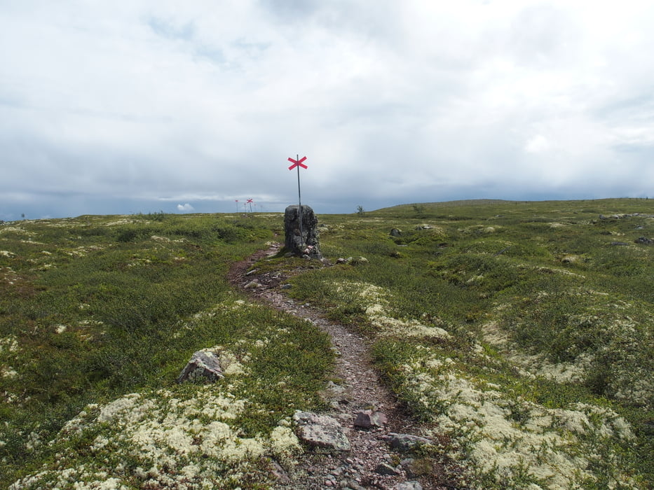
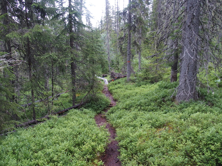
Wir haben gut geschlafen und machen uns in der Särnmannskoja Frühstück. Dann gehts los Richtung Brottbäckstugan. Es ist nach wie vor recht naß, aber super tolle Landschaft. Wir kommen recht schnell wieder in waldigere Landschaft. Im Birkenwald ist es richtig schön zu laufen - wenn auch sehr anstrengend, da es ziemlich glatt und matschig ist.
Wir machen an der Klodalskojan Mittag und auch Pause.
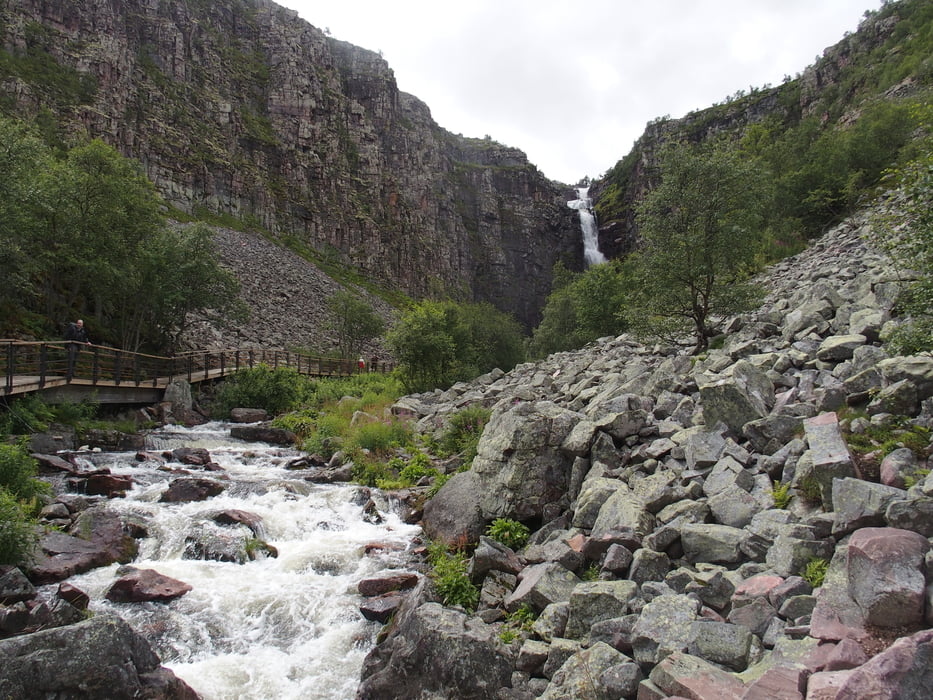
Der Abstieg von dort hat es in sich. Zum Teil recht steil und ziemlich mit Wurzeln, Pfützen und Bächen gewürzt. Wir sind völlig platt am Göljvindskydd. Der Weg von dort runter ist gut zu gehen, aber auch da müssen wir gut aufpassen, da wir schon müde sind und uns nicht noch verletzen wollen.
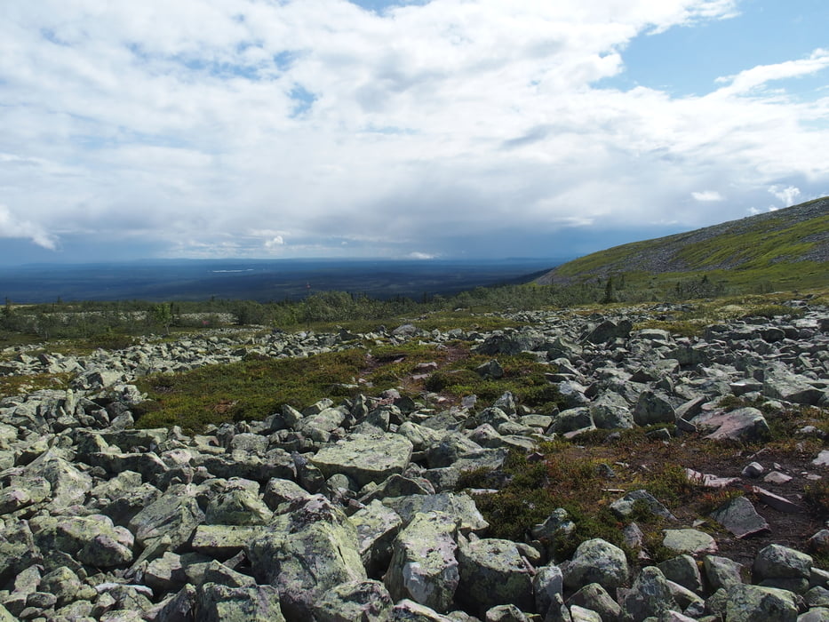
Wir fanden Fulufjället viel anstrengender als Kungsleden. Waren vermutlich auch mehr Höhenmeter auf den Etappen, wobei uns hauptsächlich die Trails schwer vorkamen. Landschaft ist superschön. Wir lieben sie!
Further information at
https://www.sverigesnationalparker.se/de/nationalpark-wahlen/fulufjallet-nationalpark/Tour gallery
Tour map and elevation profile
Minimum height 476 m
Maximum height 984 m
More about the tour author

|
smartandem |
Comments

Wir sind mit der Fähre von Rostock bis Trelleborg gefahren und dann die E6 Richtigung Göteborg und als die E4 Richtung Stockholm abgeht der folgen bis Mjölby. Dort gehts auf die 50er nach Örebro und weiter bis Lindesberg. Dann übern Berg nach Uskavi.
Von dort sind wir nach Alvdalen gefahren. Meistenteils auf der 70er.
Weiter gings dann ins Fulufjället.
GPS tracks
Trackpoints-
GPX / Garmin Map Source (gpx) download
-
TCX / Garmin Training Center® (tcx) download
-
CRS / Garmin Training Center® (crs) download
-
Google Earth (kml) download
-
G7ToWin (g7t) download
-
TTQV (trk) download
-
Overlay (ovl) download
-
Fugawi (txt) download
-
Kompass (DAV) Track (tk) download
-
Track data sheet (pdf) download
-
Original file of the author (gpx) download
More about the tour author
|
|
smartandem |
Add to my favorites
Remove from my favorites
Edit tags
Open track
My score
Rate