


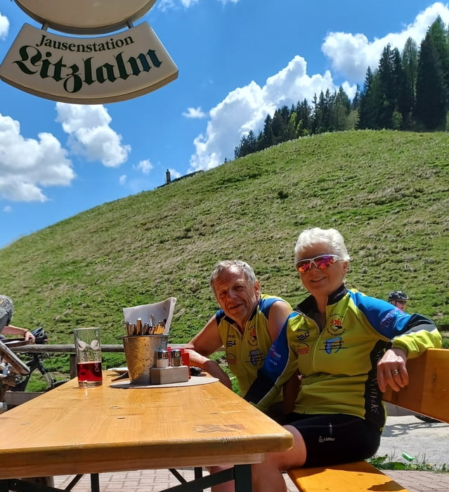
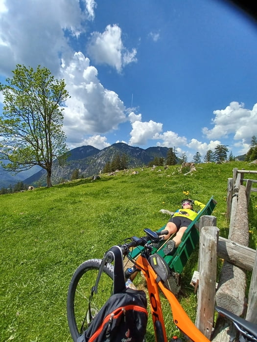
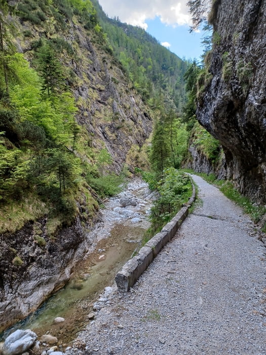
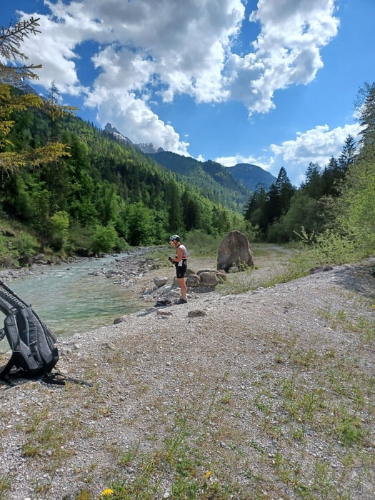
Von Lofer auf die Litzlalm. Auffahrt über das Hintertal. Direkte Auffahrt auf Teerstraße mit 30% Anstieg für MTB gesperrt. Kann man aber schön umfahren. Man kann die Umfahrung noch über den Speicherteich ausweiten, dann wird es noch entspannter. Bei Abfahrt Richtung Wildental noch den Abstecher zur Eiblkapelle nicht vergessen. Abfahrt über Wildenbachschlucht sehr schön aber die Trailfans werden leicht enttäuscht sein weil "nur" S0.
Tour gallery
Tour map and elevation profile
Minimum height 619 m
Maximum height 1303 m
More about the tour author
|
|
MegaGuenter |
Comments

GPS tracks
Trackpoints-
GPX / Garmin Map Source (gpx) download
-
TCX / Garmin Training Center® (tcx) download
-
CRS / Garmin Training Center® (crs) download
-
Google Earth (kml) download
-
G7ToWin (g7t) download
-
TTQV (trk) download
-
Overlay (ovl) download
-
Fugawi (txt) download
-
Kompass (DAV) Track (tk) download
-
Track data sheet (pdf) download
-
Original file of the author (gpx) download
More about the tour author
|
|
MegaGuenter |
Add to my favorites
Remove from my favorites
Edit tags
Open track
My score
Rate