
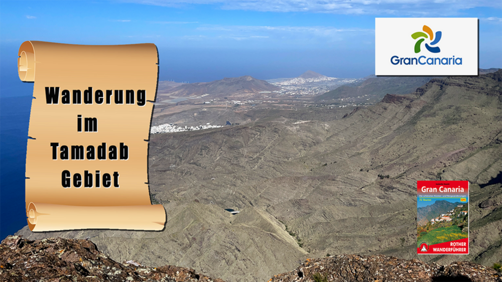

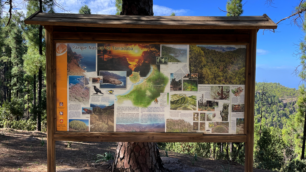
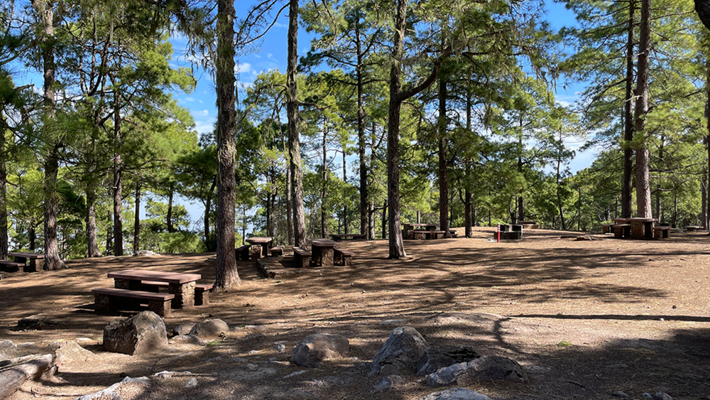
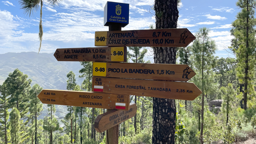
Neben der Casa Forestal führt unser Wanderweg hinauf zum Pico Bandera. Von dort senkt sich unsere Wanderung über die Ringstraße hinweg zu einem rustikalen Picknickplatz im Wald. Wir verlassen den Platz und gelangen zu einer Asphaltstr. der wir abwärts folgen. Am Ende der Straße geht es über einen schmalen Pfad am Westhang vorbei bis wir auf einen weiteren Pfad stoßen dem wir wiederum abwärts zum Morro de las Lechugas folgen. Von diesem grandiosen Mirador gehen auf direktem Weg wir Bergan zu unserem Auto.
Tour gallery
Tour map and elevation profile
Minimum height 99999 m
Maximum height -99999 m
More about the tour author
|
|
schleidy |
Comments

GPS tracks
Trackpoints-
GPX / Garmin Map Source (gpx) download
-
TCX / Garmin Training Center® (tcx) download
-
CRS / Garmin Training Center® (crs) download
-
Google Earth (kml) download
-
G7ToWin (g7t) download
-
TTQV (trk) download
-
Overlay (ovl) download
-
Fugawi (txt) download
-
Kompass (DAV) Track (tk) download
-
Track data sheet (pdf) download
-
Original file of the author (gpx) download
More about the tour author
|
|
schleidy |
Add to my favorites
Remove from my favorites
Edit tags
Open track
My score
Rate