
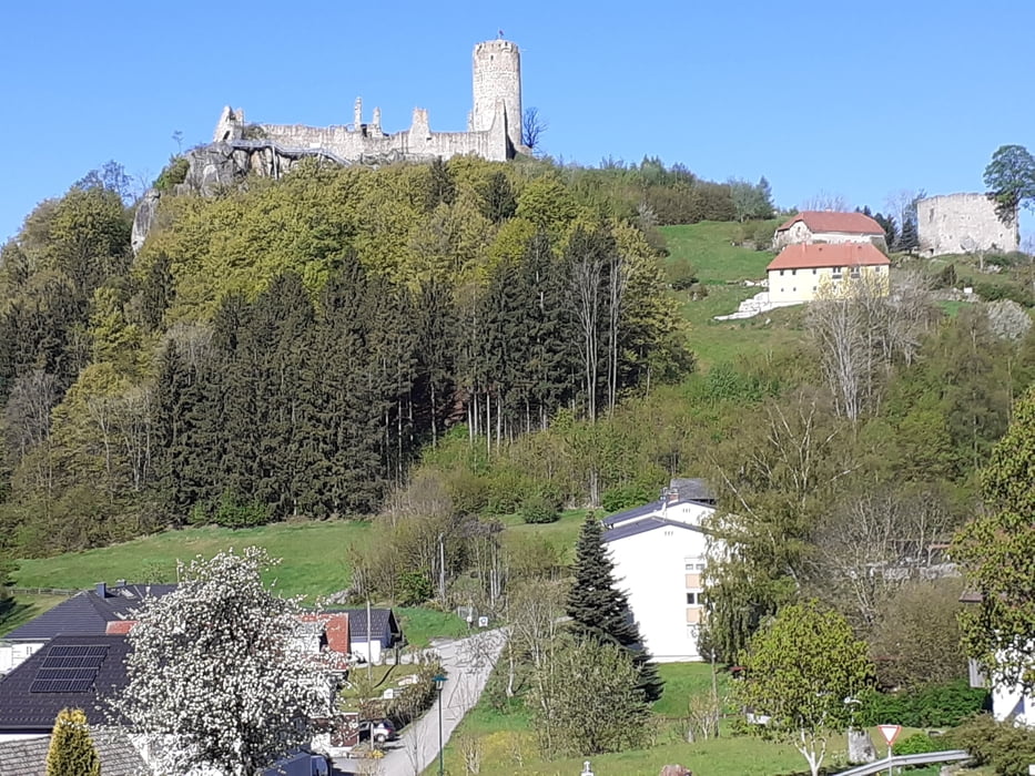

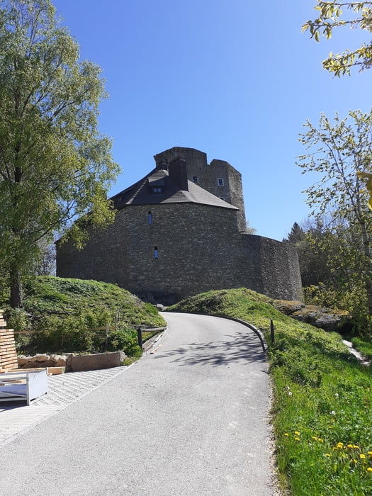
Vom Ortszentrum geht es vorerst hinauf zur Burgruine Waxenberg. Vorbei am Hungerturm geht es zum Turm mit einer grandiosen Aussicht. Auf einem Metallsteg kann die Ruine zur Hälfte umrundet werden. Jetzt wird der Beschilderung des Mittellandweges 150 durch Wald und Schaffetschlag nach Oberneukirchen gefolgt. Weiter geht es auf dem Burgenweg zur Ruine Lobenstein. Vorbei an der Burg hinunter durch den Wald und auf einem Wiesenweg ins Rodltal. Kurz vor dem Gasthaus Edlmühle zweigt der Rodltalweg ab. Entlang des Mühlbaches und der Rodl erreicht man eine Brücke. Hier links entlang eines Bächleins hinauf zu einer Straße. Auf dieser wird wieder der Mittellandweg 150 erreicht und auf dieser bis nach Zwettl/Rodl.
Tour gallery

Tour map and elevation profile
Minimum height 632 m
Maximum height 842 m
More about the tour author

|
JoHangler |
Comments

An- und Rückreise läßt sich gut mit den regelmäßigen Bussen des Verkehrsverbundes lösen.
(ooevv.at, OÖVV App).
(ooevv.at, OÖVV App).
GPS tracks
Trackpoints-
GPX / Garmin Map Source (gpx) download
-
TCX / Garmin Training Center® (tcx) download
-
CRS / Garmin Training Center® (crs) download
-
Google Earth (kml) download
-
G7ToWin (g7t) download
-
TTQV (trk) download
-
Overlay (ovl) download
-
Fugawi (txt) download
-
Kompass (DAV) Track (tk) download
-
Track data sheet (pdf) download
-
Original file of the author (gpx) download
More about the tour author
|
|
JoHangler |
Add to my favorites
Remove from my favorites
Edit tags
Open track
My score
Rate