Login

Forgotten password?

Cookies have to be accepted!
Your browser's cookie functionality is disabled. Please enable this functionality.

Not a member yet?

Register now
Login

Available for registred users only

Log in to use this feature.

Forgotten password?

Cookies have to be accepted!
Your browser's cookie functionality is disabled. Please enable this functionality.

Not a member yet?

Register now
Filter
Categories
Advanced filters
  • Distance (km)
  • Height
Save filters Reset filter

TrackRank

QRCode

Technical data

Distance35,0 km Height1280 m Way down1225 m Duration03:25 h:m Date06.07.2024
Scores Author Landscape Fun factor Fitness Technique

Statistics

572 Views Scores 13 Downloads Average
Rate
  • Track data sheet
  • Directions
  • Downloads
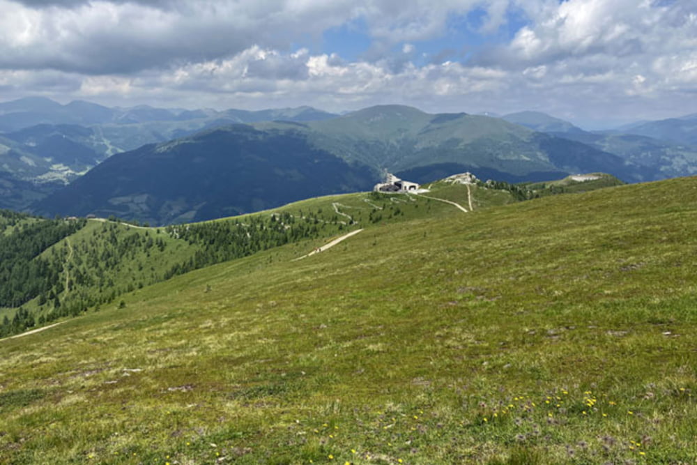
Bad Kleinkirchheim-Lercherhof-Hoeher-Nockbike Tour 08-Feldpannalm runde-Feldpannalm-Maibrunnhuette-Strohsack See (od koče Maibrunn pa skoraj do zgornje postaje žičnice Strohsack uradna pot poteka po smučišču; gre za izredno strm del poti, kjer bo po vsej verjetnosti kolo potrebno potiskati, cca 300m) -Rossalmhuette-Kaiserburg-Woellaner Nock-Kaiserburg-Family Flow Trail (gre za najdaljši kolesarski trail v Evropi, na 15,9 kilometrov dolgem spustu premagamo 968 višincev; zelo zabavno)-Bad Kleinkirchheim

Further information at

https://mtb-itd.si/

Einschränkungen

This tour has a carry or push section on 0.3 kilometers

Tour gallery

Tour map and elevation profile

  • Open Street Map
  • Google
Minimum height 996 m Maximum height 2143 m Detailed view

More about the tour author

andrejno
Member since 2012

Send private message

Comments

More about the tour author

andrejno
Member since 2012

Send private message
Share track
Add to my favorites
Remove from my favorites
Edit tags
My score
Rate
Track: Wöllaner Nock
Type: Mountain bike
Distance: 35,0 km
Evaluated on:
Duration:
Day(s)
Hour(s)
Minute(s)
Score: Landscape Fun factor Fitness Technique