Login

Forgot your login?

Cookies have to be accepted!
Your browser's cookie functionality is disabled. Please enable this functionality.

Not a member yet?

Register now
Login

Available for registred users only

Log in to use this feature.

Forgot your login?

Cookies have to be accepted!
Your browser's cookie functionality is disabled. Please enable this functionality.

Not a member yet?

Register now
Filter
Categories
Advanced filters
  • Distance (km)
  • Height
Save filters Reset filter

TrackRank

QRCode

Technical data

Distance794,7 km Height4969 m Way down4986 m Duration4 days 0 h Date31.07.2008
Scores Author Landscape Fun factor Fitness Technique

Statistics

290 Views Scores 53 Downloads Average
Rate
  • Track data sheet
  • Directions
  • Downloads

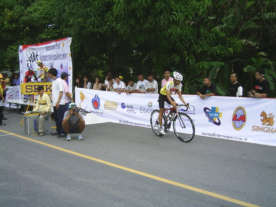
folge den Spuren der Tour of EGAT EGAT 2008

4 Tage Wettkampf mit einer Zeitfahren von 8 km, lassen sich auch als Tour in 3-5 Tagen nachfahren.


Von Bangkok aus nach Nakhon Nayok, und weiter über den Khao Yai nach Saraburi mit einer Extrarunde die auch bei der Anfahrt schon "mitgenommen" werden kann und Rückfahrt nach Bangkok.
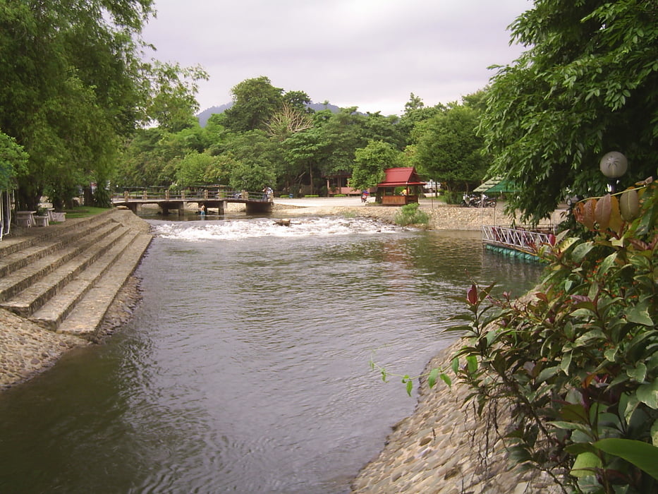
Tour gallery

Tour map and elevation profile

  • Open Street Map
  • Google
Minimum height -26 m Maximum height 788 m Detailed view

More about the tour author

Thailand-Thomas
Member since 2007

Country: Thailand

11 created tours
7.3
Send private message

Comments

GPS tracks

Trackpoints
  • GPX / Garmin Map Source (gpx) download
  • TCX / Garmin Training Center® (tcx) download
  • CRS / Garmin Training Center® (crs) download
  • Google Earth (kml) download
  • G7ToWin (g7t) download
  • TTQV (trk) download
  • Overlay (ovl) download
  • Fugawi (txt) download
  • Kompass (DAV) Track (tk) download
  • Track data sheet (pdf) download
  • Original file of the author (gpx) download

More about the tour author

Thailand-Thomas
Member since 2007

Country: Thailand

11 created tours
7.3
Send private message
Share track
Add to my favorites
Remove from my favorites
Edit tags
My score
Rate
Track: Tour of Egat 2008
Type: Road biking
Distance: 794,7 km
Evaluated on:
Duration:
Day(s)
Hour(s)
Minute(s)
Score: Landscape Fun factor Fitness Technique