

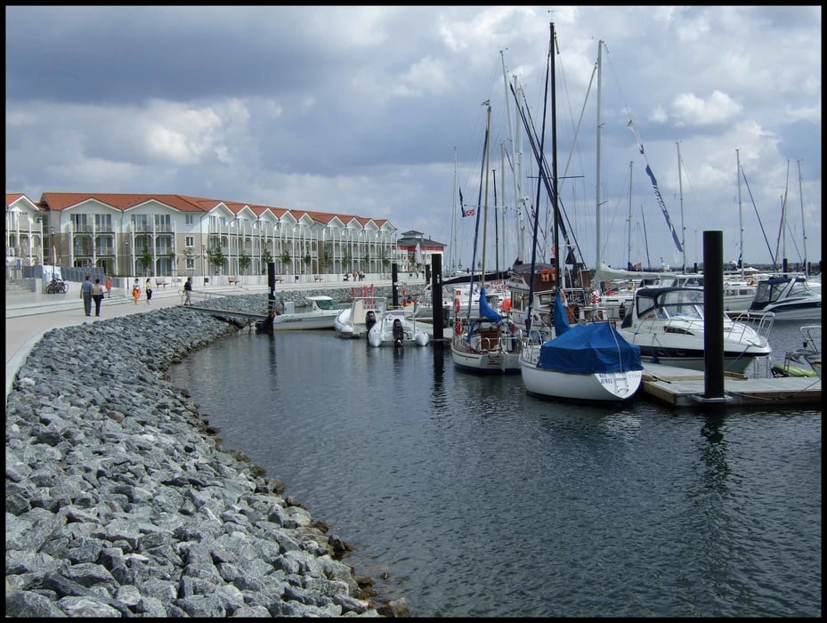
Immer an der Ostsee-Küste entlang. Der Höhepunkt ist in Travemünde die Fahrt mit der Fähre (2,- € für Rad und eine Person hin-und zurück) Super Radweg mit vielen Blicken auf die Ostsee. In Boltenhagen dann Fischbrötchen für 1,00 €. Am Ortsausgang der zu große Jachthafen mit Hotelanlage (s. Foto)
Gruß Bernd und Marlies!
Tour gallery
Tour map and elevation profile
Minimum height -14 m
Maximum height 82 m
More about the tour author
|
|
berndschuetz |
Comments

Start am Campingplatz (Frau Buchholz) in Sierksdorf. Von der Autobahn A1 Abfahrt 15 schnell zu erreichen.
GPS tracks
Trackpoints-
GPX / Garmin Map Source (gpx) download
-
TCX / Garmin Training Center® (tcx) download
-
CRS / Garmin Training Center® (crs) download
-
Google Earth (kml) download
-
G7ToWin (g7t) download
-
TTQV (trk) download
-
Overlay (ovl) download
-
Fugawi (txt) download
-
Kompass (DAV) Track (tk) download
-
Track data sheet (pdf) download
-
Original file of the author (gpx) download
More about the tour author
|
|
berndschuetz |
Add to my favorites
Remove from my favorites
Edit tags
Open track
My score
Rate