

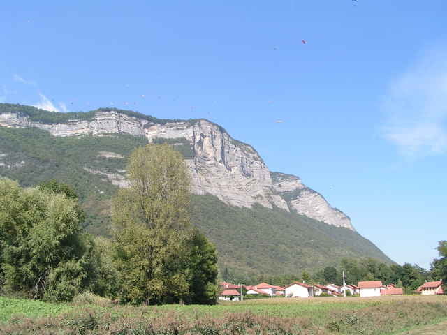

Grenoble is surrounded by three mountain ranges: Chartreuse, Vercors and Belledonnes. During this trip we visited the Chartreuse.
Start from the Parc de l'Ile d'Amour. Follow the road along the Isere. If you have enough time, don't take the shortcut along the highway but stay close to Isere going through remarkable l'Ile de Porte.
Leave Isere just at the St-Nazaire-les-Eymes and use small agricultural roads ("zone agricole") to reach Crolles and then la Terrasse.
We have found Chateau de la Yeyrie to be uninteresting and did not enter the park of Chateau de Bernis as it was private. But you could pass by Cleymes Chateau that we missed and consider climbing to Chateau du Carre as we did at some other occassion.
Start the serious part of the climb in la Terasse and reach the paragliding center - Commune de St-Hilaire. As a reward for your effort, you may try the pancakes in "crepperie" in les Gandains (at the main road).
Finally descend to St-Ismier through tunnel at les Meunieres and continue to Grenoble.
Start from the Parc de l'Ile d'Amour. Follow the road along the Isere. If you have enough time, don't take the shortcut along the highway but stay close to Isere going through remarkable l'Ile de Porte.
Leave Isere just at the St-Nazaire-les-Eymes and use small agricultural roads ("zone agricole") to reach Crolles and then la Terrasse.
We have found Chateau de la Yeyrie to be uninteresting and did not enter the park of Chateau de Bernis as it was private. But you could pass by Cleymes Chateau that we missed and consider climbing to Chateau du Carre as we did at some other occassion.
Start the serious part of the climb in la Terasse and reach the paragliding center - Commune de St-Hilaire. As a reward for your effort, you may try the pancakes in "crepperie" in les Gandains (at the main road).
Finally descend to St-Ismier through tunnel at les Meunieres and continue to Grenoble.
Tour gallery
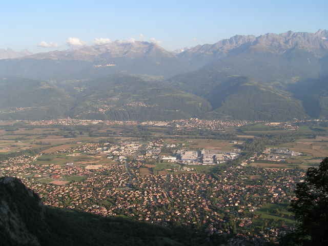
Tour map and elevation profile
Minimum height 178 m
Maximum height 1033 m
More about the tour author

|
azzie |
Comments

More about the tour author
|
|
azzie |
Add to my favorites
Remove from my favorites
Edit tags
Open track


My score
Rate