


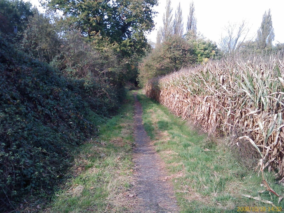
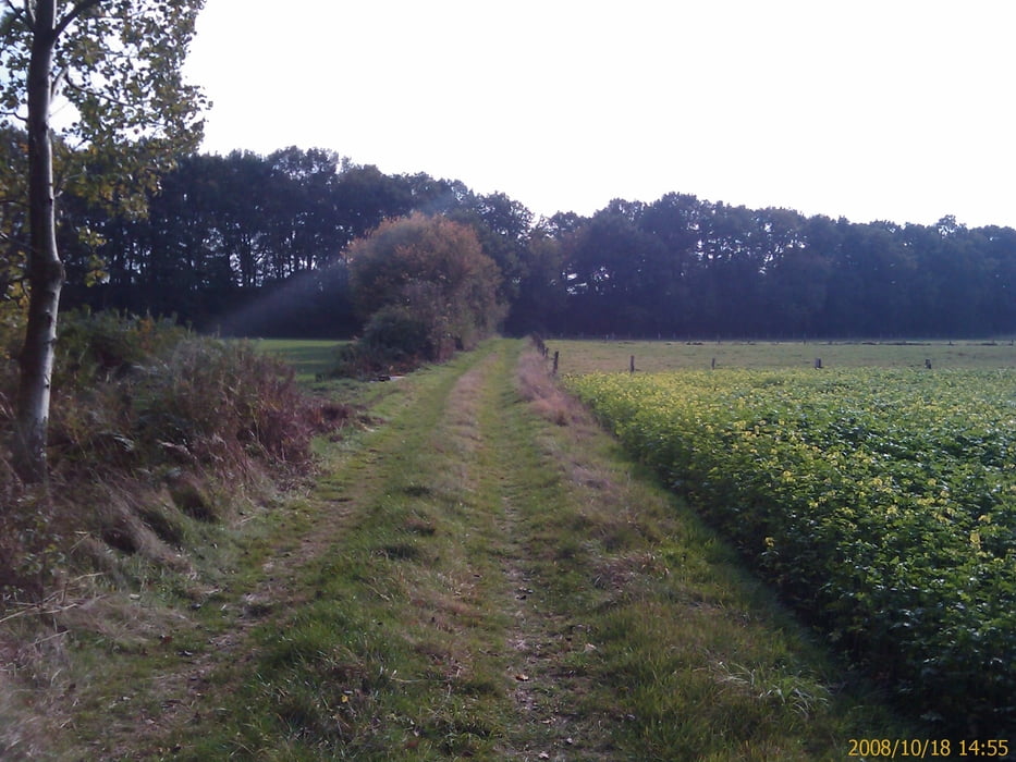
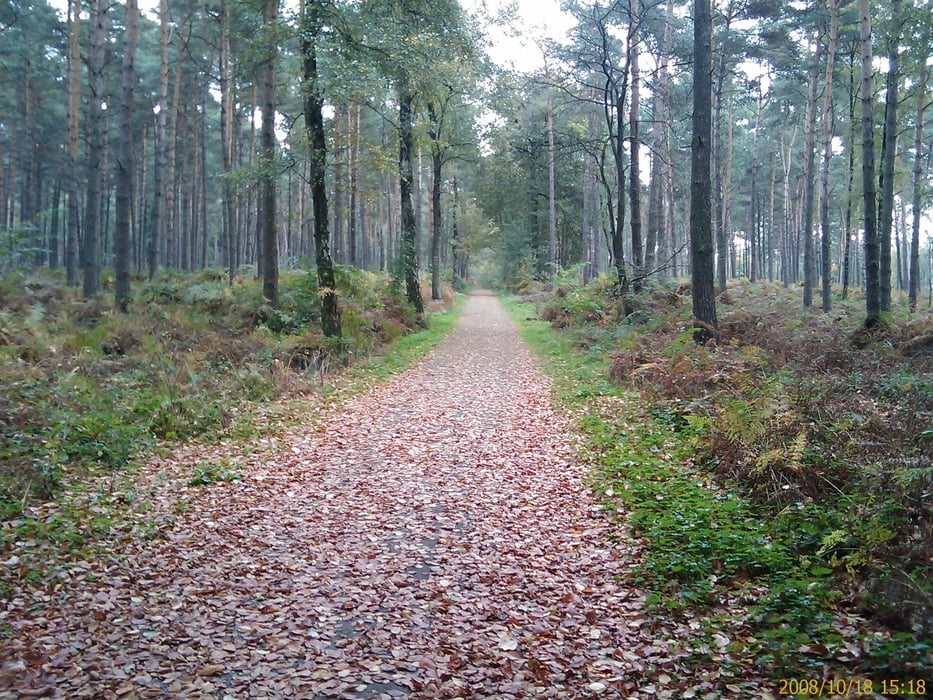
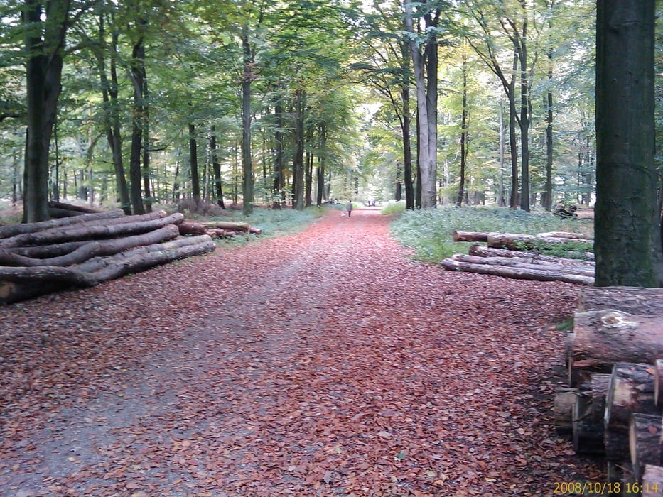
Die Tour führt durch die schöne und meist flache Landschaft des Niederrheins über Felder und durch Wälder.
Im Verlauf der Tour kommt ihr in etwa 300 Meter Entfernung an Kloster Kamp vorbei, ein kleiner Abstecher lohnt in jedem Fall.
Auf ca. der Hälfte der Strecke, Nähe Alpen, befindet sich eine nette Einkehrmöglichkeit Kastanienhof.
Etwas weiter nach der Durchfahrt durch die Leucht kommt Ihr am Bärlaghof (gut Beschildert) vorbei, eine sehr schöne Möglichkeit eine Rast einzulegen. (siehe Link)
Die Tour beinhaltet 3 kleinere Steigungen die aber von jedem zu meistern sind.
Da es recht oft auf unbefestigten Wegen durch den Wald geht ist die Tour nicht für Rennräder geeignet.
Ps.: Über Bewertungen und Kommentare freue ich mich immer.
Further information at
http://www.baerlaghof.deTour gallery
Tour map and elevation profile
Minimum height 20 m
Maximum height 64 m
More about the tour author
|
|
amarillo |
Comments

GPS tracks
Trackpoints-
GPX / Garmin Map Source (gpx) download
-
TCX / Garmin Training Center® (tcx) download
-
CRS / Garmin Training Center® (crs) download
-
Google Earth (kml) download
-
G7ToWin (g7t) download
-
TTQV (trk) download
-
Overlay (ovl) download
-
Fugawi (txt) download
-
Kompass (DAV) Track (tk) download
-
Track data sheet (pdf) download
-
Original file of the author (gpx) download
More about the tour author
|
|
amarillo |
Add to my favorites
Remove from my favorites
Edit tags
Open track
My score
Rate