Member since
Forgotten password?
Not a member yet?
Available for registred users only
Log in to use this feature.
UncleMikeMember since 2008
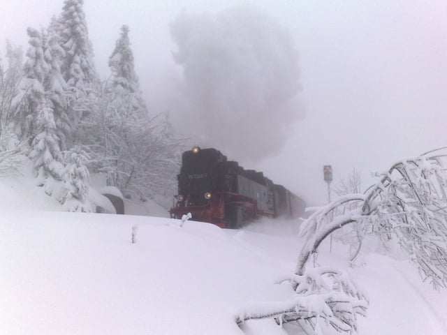

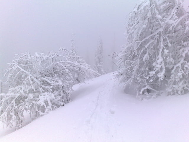
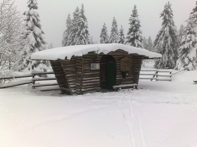
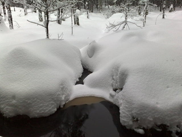

Ohne Worte
schade dass Du nicht 2 Minuten Zeit findest, ein paar Zeilen Begleittext zu schreiben.
Gruß
K.