

Login

Forgotten password?

Cookies have to be accepted!
Your browser's cookie functionality is disabled. Please enable this functionality.

Not a member yet?

Register now
Login

Available for registred users only

Log in to use this feature.

Forgotten password?

Cookies have to be accepted!
Your browser's cookie functionality is disabled. Please enable this functionality.

Not a member yet?

Register now
Filter
Categories
Advanced filters
  • Distance (km)
  • Height
Save filters Reset filter

TrackRank

QRCode

Technical data

Distance36,3 km Height72 m Way down55 m Duration02:31 h:m Date15.01.2006
Scores Author Landscape Fun factor Fitness Technique

Statistics

1170 Views Scores 66 Downloads Average
Rate
  • Track data sheet
  • Directions
  • Downloads
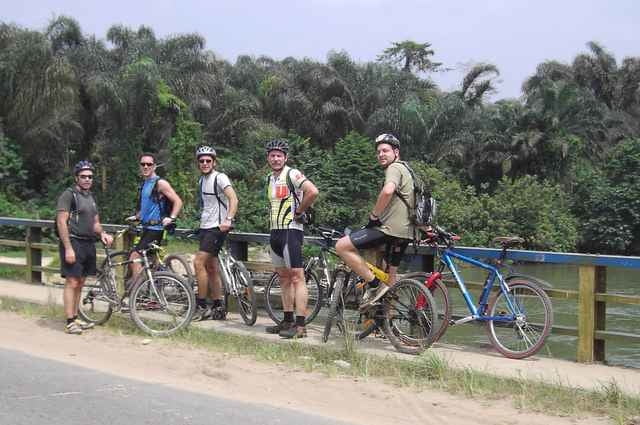
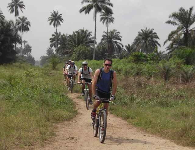
This time we started at 12:00 noon which was better as it still gives you an afternoon later on. Only problem is that it is darn hot then. South of Aba Road was the area this time and we pretty much kept in the proximity of the train tracks this time. We ended up in the town of Obyibo (or something like that) where we had a stop at Imo River. Then back along flow lines. The last kilometers were for me more like a torture but we all managed to get back to have beers (for the fit guys) or coke (for the weak ones like me who needed sugar) to get their strength back.

Tour gallery
Tour map and elevation profile

  • Open Street Map
  • Google
Minimum height 9 m Maximum height 36 m Detailed view

More about the tour author

mrunte
Member since 2005

Country: Qatar

22 created tours
7
Send private message

Comments

More about the tour author

mrunte
Member since 2005

Country: Qatar

22 created tours
7
Send private message
Share track
Add to my favorites
Remove from my favorites
Edit tags
My score
Rate
Track: Bike Hash 012 - Port Harcourt "Imo River"
Type: Mountain bike
Distance: 36,3 km
Evaluated on:
Duration:
Day(s)
Hour(s)
Minute(s)
Score: Landscape Fun factor Fitness Technique
