Login

Forgot your login?

Cookies have to be accepted!
Your browser's cookie functionality is disabled. Please enable this functionality.

Not a member yet?

Register now
Login

Available for registred users only

Log in to use this feature.

Forgot your login?

Cookies have to be accepted!
Your browser's cookie functionality is disabled. Please enable this functionality.

Not a member yet?

Register now
Filter
Categories
Advanced filters
  • Distance (km)
  • Height
Save filters Reset filter

TrackRank

QRCode

Technical data

Distance185,5 km Height354 m Way down379 m Duration06:30 h:m Date10.02.2009
Scores Author Landscape Fun factor Fitness Technique

Statistics

132 Views Scores 4 Downloads Average
Rate
  • Track data sheet
  • Directions
  • Downloads

Long and pretty flat course, but can be very windy, especially between October and April. The coastal road is an absolute dream for those who like to ride flat out - almost completely flat (all the climbing is done inland on the Nr 3), with new tarmac on almost the complete 80km from Jerti to Kuala Terengganu.

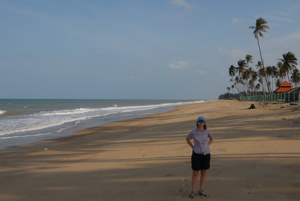
...and if you like to chill out at the beach, there are a lot of opportunities...

Tour map and elevation profile

  • Open Street Map
  • Google
Minimum height 4 m Maximum height 41 m Detailed view

More about the tour author

mblanarik
Member since 2006

Send private message

Comments

...just get to Kuala Terengganu, then head for the airport and towards Kota Bharu via the Nr 3. Park somewhere near the big rounabout and head towards Lake/Tasik Kenyir... the rest is pretty straight forward, as there are not that many roads in the East.

GPS tracks

Trackpoints
  • GPX / Garmin Map Source (gpx) download
  • TCX / Garmin Training Center® (tcx) download
  • CRS / Garmin Training Center® (crs) download
  • Google Earth (kml) download
  • G7ToWin (g7t) download
  • TTQV (trk) download
  • Overlay (ovl) download
  • Fugawi (txt) download
  • Kompass (DAV) Track (tk) download
  • Track data sheet (pdf) download
  • Original file of the author (gpx) download

More about the tour author

mblanarik
Member since 2006

Send private message
Share track
Add to my favorites
Remove from my favorites
Edit tags
My score
Rate
Track: Terengganu North: Kuala Terengganu-Jertih Hwy nr 3 and back at the coastal road
Type: Road biking
Distance: 185,5 km
Evaluated on:
Duration:
Day(s)
Hour(s)
Minute(s)
Score: Landscape Fun factor Fitness Technique