


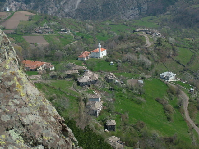
This track follows leg nine of the Trans Rhodopean Trail "Rudopia". The leg actually ends at Bezvodno village, but the last part of the leg is not tracked with GPS so you have to orientate by the red triangles along the route.
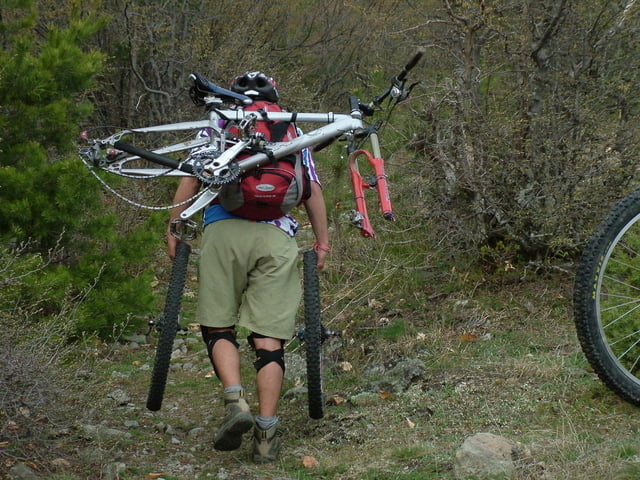
From Svoboda Hut you have to follow the asphalt road in eastern directions for almost 2 km. Then turn left at the junction known as "Krushov Chatal" and follow the fores road trough vast meadows until you come to a big junction - Karakulas (Zhivite Blata). At this junction you must turn left (norh) and ride down until you come to the secondary road Belitsa - Zagrajden. Turn right on this road and ride for almost 10 km until you see the junction for Riben Dol. Turn left here and ride down until you reach a few houses with only a few habitants. This settlement is known as Tuhla. Here the track ends. To reach Bezvodno you must go down to valley of Riben Dol River and follow the river for about one kilometer. When you reach to a small dam you must leave the valley and start climbing (carrying the bike) on the slope in front of you. The climb takes about 40 minutes and takes you to pass from where you will ride down in eastern direction to reach Bezvodno.
N.B. Have in mind that this route passes trough very isolated areas and there are no shops or restaurants to fill your provisions. In Bezvodno there is no guest house or a hut so you have to bring your own tent or ask some of the locals for accommodation.
Further information at
http://www.rudopia.orgTour gallery
Tour map and elevation profile
Minimum height 714 m
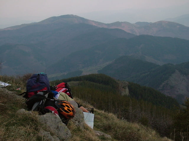
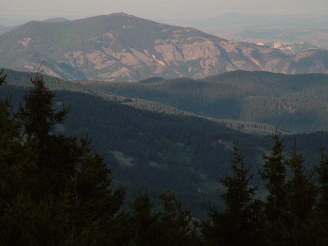
Maximum height 1879 m
More about the tour author
|
|
Pirateria |
Comments

More about the tour author
|
|
Pirateria |
Add to my favorites
Remove from my favorites
Edit tags
Open track
My score
Rate