

Start der Wanderung ist am Parkplatz unterhalb der Burg Hoch Eppan.
Da es ab dem Gasthaus Wieserhof stets sehr steil auf meist losem Untergrund bergauf geht ist gutes Schuhwerk unerlässlich. Nachdem der Eppaner Höhenweg (gekennzeichnet mit der Nr. 12) erreicht ist, hat man einen traumhaften Ausblick auf das Etschtal und Bozen.
Der Abstieg zum Gasthaus Pichler ist äußerst steil, anstrengend und dauert ca. 45 min. Hier empfiehlt es sich Wanderstöcke mitzunehmen.
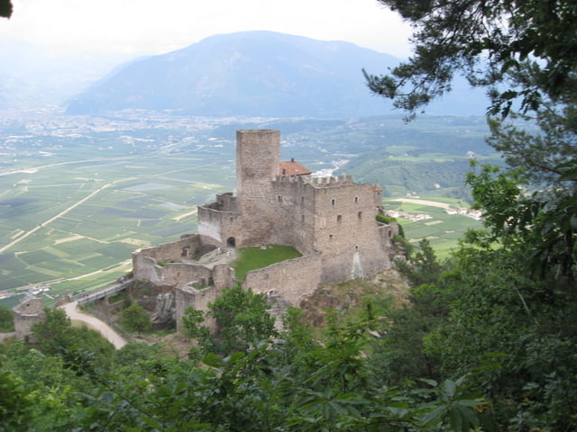
Am Rückweg sollte man sich die Burg Hoch Eppan anschauen und dort eine typisch Südtiroler Brotzeit genießen (Empfehlung: Eppaner Speckbrettl!!). Ebenso sehenswert ist das nahegelegene und historische Luxushotel Schloß Korb.
Wanderzeit incl. Pausen ca. 3-4 Std.
Trittsicherheit bzw. Schwindelfreihet von Vorteil, da es oft direkt am Abgrund entlang geht.Tour map and elevation profile
Minimum height 238 m
Maximum height 1168 m
More about the tour author
|
|
Weissferdl |
Comments

GPS tracks
Trackpoints-
GPX / Garmin Map Source (gpx) download
-
TCX / Garmin Training Center® (tcx) download
-
CRS / Garmin Training Center® (crs) download
-
Google Earth (kml) download
-
G7ToWin (g7t) download
-
TTQV (trk) download
-
Overlay (ovl) download
-
Fugawi (txt) download
-
Kompass (DAV) Track (tk) download
-
Track data sheet (pdf) download
-
Original file of the author (gpx) download
More about the tour author
|
|
Weissferdl |
Add to my favorites
Remove from my favorites
Edit tags
Open track
My score
Rate