Login

Forgot your login?

Cookies have to be accepted!
Your browser's cookie functionality is disabled. Please enable this functionality.

Not a member yet?

Register now
Login

Available for registred users only

Log in to use this feature.

Forgot your login?

Cookies have to be accepted!
Your browser's cookie functionality is disabled. Please enable this functionality.

Not a member yet?

Register now
Filter
Categories
Advanced filters
  • Distance (km)
  • Height
Save filters Reset filter

TrackRank

QRCode

Technical data

Distance11,4 km Height591 m Way down576 m Duration04:30 h:m Date09.06.2009
Scores Author Landscape Fun factor Fitness Technique

Statistics

560 Views Scores 32 Downloads Average
Rate
  • Track data sheet
  • Directions
  • Downloads
Ab Rohr im Gebirge auf Strasse (Klausgraben-rote  Markierung) bis zu einer Linksabbiegung (einzelnes Haus).Dann durch einen Seitengraben("die Od") und weiter dann rechts steil zum Hammerleck.Über einen Kamm weiter rot markiert zum Jochartgipfel.Haasenbankerl aufsuchen und (wenn nicht geleert)Schnaps kosten.Abstieg zuerst über blaue Markierung über die Südflanke und dann bei einer Sennhütte auf einen gemütlichen Forstweg der uns wieder in "die Öd" bringt.Restlicher Rückweg bis Rohr wie Anmarsch.
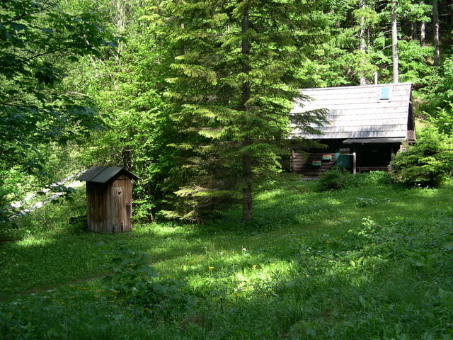
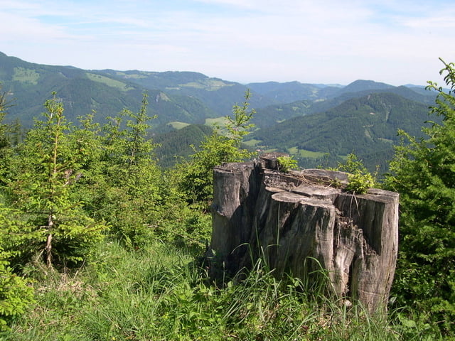
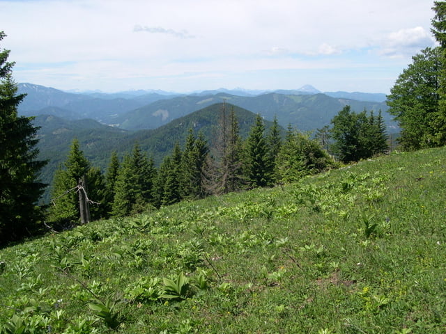
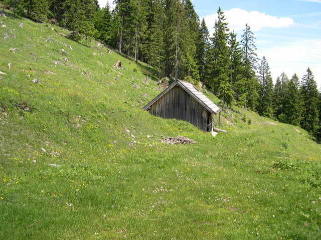
Tour gallery

Tour map and elevation profile

  • Open Street Map
  • Google
Minimum height 687 m Maximum height 1274 m Detailed view

More about the tour author

LeoCheops
Member since 2008

Send private message

Comments

GPS tracks

Trackpoints
  • GPX / Garmin Map Source (gpx) download
  • TCX / Garmin Training Center® (tcx) download
  • CRS / Garmin Training Center® (crs) download
  • Google Earth (kml) download
  • G7ToWin (g7t) download
  • TTQV (trk) download
  • Overlay (ovl) download
  • Fugawi (txt) download
  • Kompass (DAV) Track (tk) download
  • Track data sheet (pdf) download
  • Original file of the author (gpx) download

More about the tour author

LeoCheops
Member since 2008

Send private message
Share track
Add to my favorites
Remove from my favorites
Edit tags
My score
Rate
Track: Wieder auf den Jochart (09.06.2009)
Type: Mountain hiking
Distance: 11,4 km
Evaluated on:
Duration:
Day(s)
Hour(s)
Minute(s)
Score: Landscape Fun factor Fitness Technique