Login

Forgot your login?

Cookies have to be accepted!
Your browser's cookie functionality is disabled. Please enable this functionality.

Not a member yet?

Register now
Login

Available for registred users only

Log in to use this feature.

Forgot your login?

Cookies have to be accepted!
Your browser's cookie functionality is disabled. Please enable this functionality.

Not a member yet?

Register now
Filter
Categories
Advanced filters
  • Distance (km)
  • Height
Save filters Reset filter

TrackRank

QRCode

Technical data

Distance2,5 km Height0 m Way down637 m Duration02:00 h:m Date15.06.2009
Scores Author Landscape Fun factor Fitness Technique

Statistics

1236 Views Scores 174 Downloads Average
Rate
  • Track data sheet
  • Directions
  • Downloads

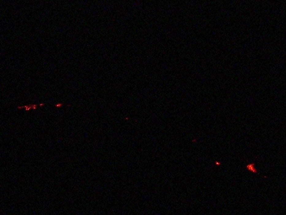
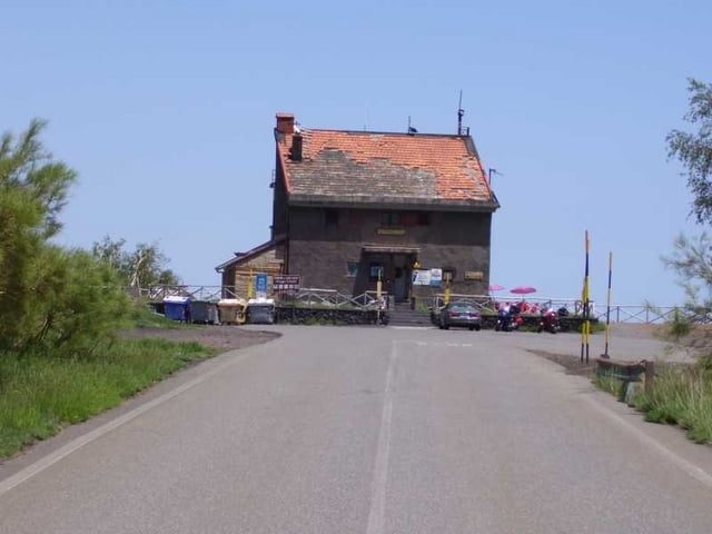
Hike from the Rif.Citelli to a lookout-point to the Valle del Bove. We used this to see Red Lava in the late evening / night.

There is no footpath, but more or less steep sandy straight uphill walking.

Because there is no footpath, it can be difficult to find down in the night, even with flashlights and a GPS.

Tour gallery

Tour map and elevation profile

  • Open Street Map
  • Google
Minimum height 1718 m Maximum height 2365 m Detailed view

More about the tour author

hans-lauber
Member since 2009

Send private message

Comments

Starts at the Rifugio Citelli at the Etna Nord region

GPS tracks

Trackpoints
  • GPX / Garmin Map Source (gpx) download
  • TCX / Garmin Training Center® (tcx) download
  • CRS / Garmin Training Center® (crs) download
  • Google Earth (kml) download
  • G7ToWin (g7t) download
  • TTQV (trk) download
  • Overlay (ovl) download
  • Fugawi (txt) download
  • Kompass (DAV) Track (tk) download
  • Track data sheet (pdf) download
  • Original file of the author (gpx) download

More about the tour author

hans-lauber
Member since 2009

Send private message
Share track
Add to my favorites
Remove from my favorites
Edit tags
My score
Rate
Track: Etna: Rif.Citelli - Lookout to Valle del Bove
Type: Hiking
Distance: 2,5 km
Evaluated on:
Duration:
Day(s)
Hour(s)
Minute(s)
Score: Landscape Fun factor Fitness Technique