Login

Forgot your login?

Cookies have to be accepted!
Your browser's cookie functionality is disabled. Please enable this functionality.

Not a member yet?

Register now
Login

Available for registred users only

Log in to use this feature.

Forgot your login?

Cookies have to be accepted!
Your browser's cookie functionality is disabled. Please enable this functionality.

Not a member yet?

Register now
Filter
Categories
Advanced filters
  • Distance (km)
  • Height
Save filters Reset filter

TrackRank

QRCode

Technical data

Distance4,3 km Height164 m Way down229 m Duration01:30 h:m Date16.06.2009
Scores Author Landscape Fun factor Fitness Technique

Statistics

1356 Views 1 Score 314 Downloads 3.00 Average
Rate
  • Track data sheet
  • Directions
  • Downloads

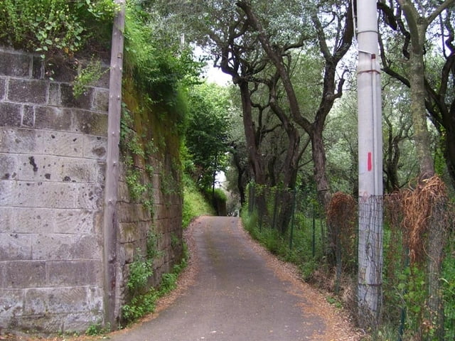
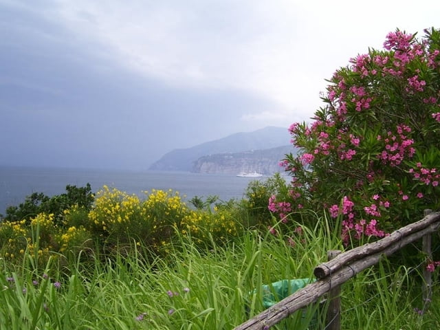
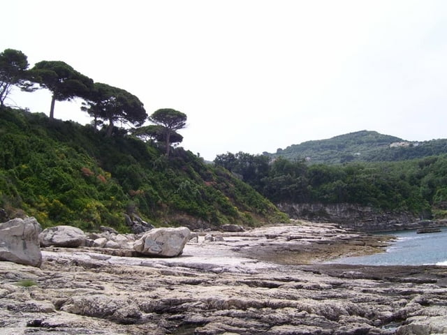
Easy walk from Sorrento to the capo.

The gps-track ends at a Bar, direkt at the sea, where you can have a swim or drink a coffee. But beware of the Bar: I payed for a cappucino and a coke 7 euros! Cheat! Don't go there!

Tour gallery

Tour map and elevation profile

  • Open Street Map
  • Google
Minimum height 4 m Maximum height 141 m Detailed view

More about the tour author

hans-lauber
Member since 2009

Send private message

Comments

Starts at the stazione centrale in Sorrento

GPS tracks

Trackpoints
  • GPX / Garmin Map Source (gpx) download
  • TCX / Garmin Training Center® (tcx) download
  • CRS / Garmin Training Center® (crs) download
  • Google Earth (kml) download
  • G7ToWin (g7t) download
  • TTQV (trk) download
  • Overlay (ovl) download
  • Fugawi (txt) download
  • Kompass (DAV) Track (tk) download
  • Track data sheet (pdf) download
  • Original file of the author (gpx) download

More about the tour author

hans-lauber
Member since 2009

Send private message
Share track
Add to my favorites
Remove from my favorites
Edit tags
My score
Rate
Track: Sorrento - P.d.Capo
Type: Hiking
Distance: 4,3 km
Evaluated on:
Duration:
Day(s)
Hour(s)
Minute(s)
Score: Landscape Fun factor Fitness Technique