Login

Forgot your login?

Cookies have to be accepted!
Your browser's cookie functionality is disabled. Please enable this functionality.

Not a member yet?

Register now
Login

Available for registred users only

Log in to use this feature.

Forgot your login?

Cookies have to be accepted!
Your browser's cookie functionality is disabled. Please enable this functionality.

Not a member yet?

Register now
Filter
Categories
Advanced filters
  • Distance (km)
  • Height
Save filters Reset filter

TrackRank

QRCode

Technical data

Distance188,6 km Height1482 m Way down1354 m Duration07:00 h:m Date17.06.2006
Scores Author Landscape Fun factor Fitness Technique

Statistics

3159 Views 2 Scores 372 Downloads 4.50 Average
Rate
  • Track data sheet
  • Directions
  • Downloads
Die Tour umrundet den Dachstein sehr weit.
Eistiegsmöglichkeit sind also an jedem Punkt der Tour.
Da die Route entlang der Hauptverkehrsstrecken verläuft ist es ratsam an einem Sonntag wegen des geringeren Schwerverkehrs zu fahren.
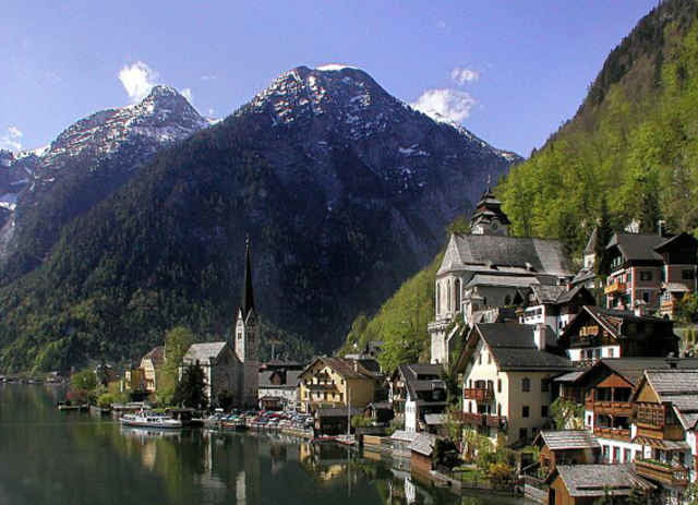
Tour gallery

Tour map and elevation profile

  • Open Street Map
  • Google
Minimum height 487 m Maximum height 953 m Detailed view

More about the tour author

rupo

Comments

GPS tracks

Trackpoints
  • GPX / Garmin Map Source (gpx) download
  • TCX / Garmin Training Center® (tcx) download
  • CRS / Garmin Training Center® (crs) download
  • Google Earth (kml) download
  • G7ToWin (g7t) download
  • TTQV (trk) download
  • Overlay (ovl) download
  • Fugawi (txt) download
  • Kompass (DAV) Track (tk) download
  • Track data sheet (pdf) download
  • Original file of the author (gpx) download

More about the tour author

rupo

Share track
Add to my favorites
Remove from my favorites
Edit tags
My score
Rate
Track: Dachsteinrunde
Type: Road biking
Distance: 188,6 km
Evaluated on:
Duration:
Day(s)
Hour(s)
Minute(s)
Score: Landscape Fun factor Fitness Technique