


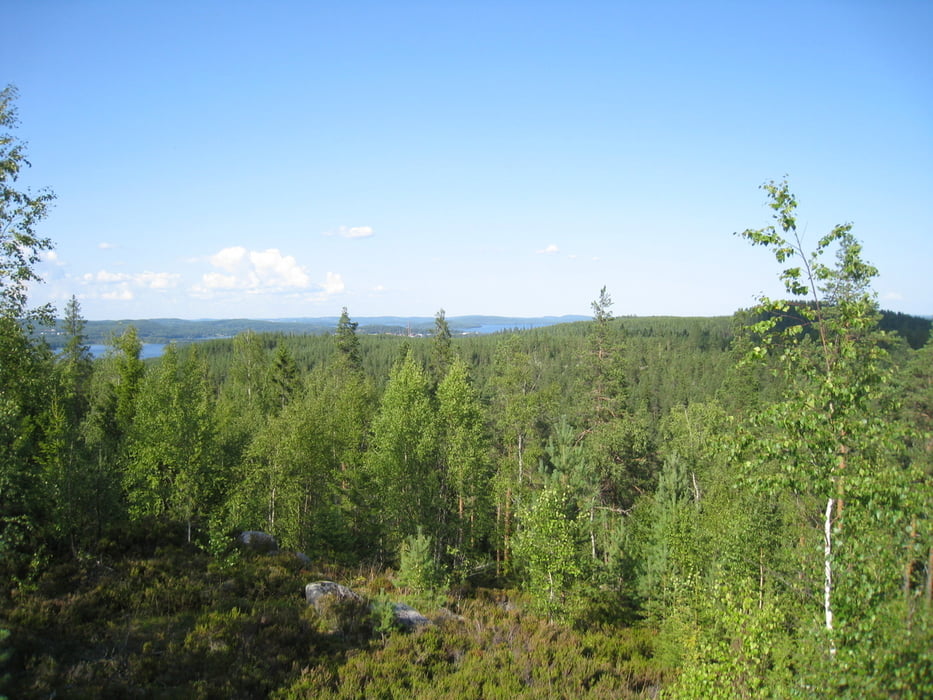
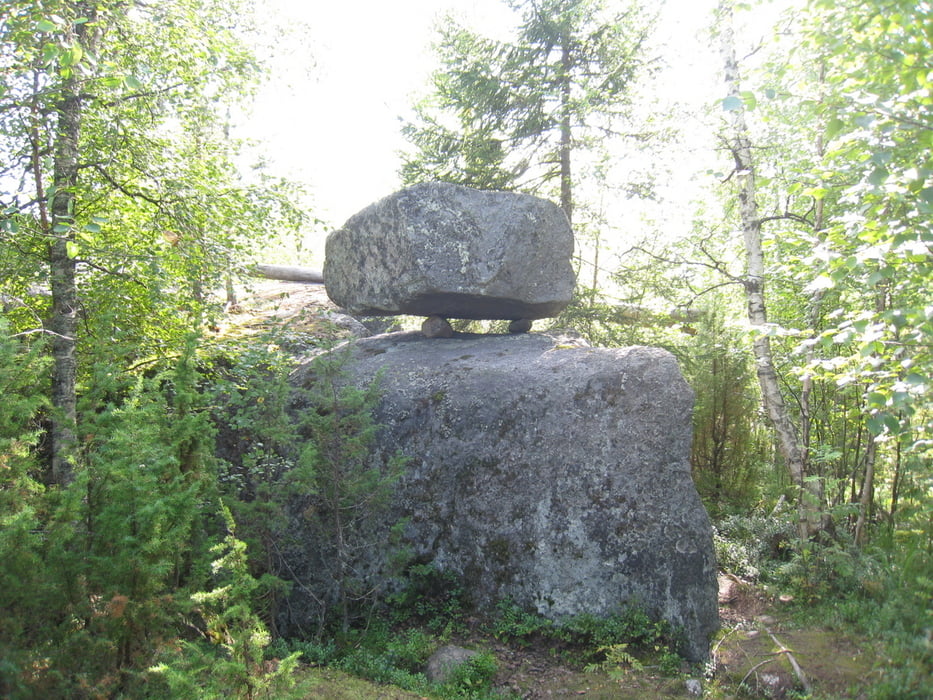
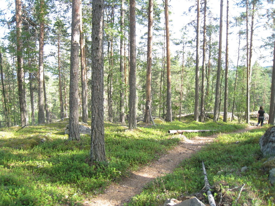
Tapionalttari, translates to Tapio's Althar. Tapio being the ancient Finnish god of forest. Tapionalttari is a formation of one big rock lying on 3 smaller rocks and the whole setup is high on a cliff. The rock is 2,5 m long, 1,5 m wide and 1 meter thick, wights about 10 tons. The walking path is quite easy, no special gear is required. There are nice views to surrounding landscape closer to the top of Hakolanvuori which is the area this path is in.
Tour gallery
Tour map and elevation profile
Minimum height 116 m
Maximum height 197 m
More about the tour author

|
japa-fi |
Comments

Drive towards Jyväskylä, then head to Muuratsalo (located south of Jyväskylä, near E63). Look for Ramin kuntopolku to find out the starting point. Starting point accessible by car.
GPS tracks
Trackpoints-
GPX / Garmin Map Source (gpx) download
-
TCX / Garmin Training Center® (tcx) download
-
CRS / Garmin Training Center® (crs) download
-
Google Earth (kml) download
-
G7ToWin (g7t) download
-
TTQV (trk) download
-
Overlay (ovl) download
-
Fugawi (txt) download
-
Kompass (DAV) Track (tk) download
-
Track data sheet (pdf) download
-
Original file of the author (gpx) download
More about the tour author
|
|
japa-fi |
Add to my favorites
Remove from my favorites
Edit tags
Open track
My score
Rate