Login

Forgot your login?

Cookies have to be accepted!
Your browser's cookie functionality is disabled. Please enable this functionality.

Not a member yet?

Register now
Login

Available for registred users only

Log in to use this feature.

Forgot your login?

Cookies have to be accepted!
Your browser's cookie functionality is disabled. Please enable this functionality.

Not a member yet?

Register now
Filter
Categories
Advanced filters
  • Distance (km)
  • Height
Save filters Reset filter

TrackRank

QRCode

Technical data

Distance138,8 km Height1894 m Way down1753 m Duration05:30 h:m Date05.07.2006
Scores Author Landscape Fun factor Fitness Technique

Statistics

2925 Views 2 Scores 384 Downloads 4.00 Average
Rate
  • Track data sheet
  • Directions
  • Downloads
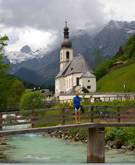
Wunderschöne Rundtour um die Gebirgsstöcke des Höchkönigmassivs, Hohen Göll, Watzmann. Sehr anspruchsvolle Anstiege zum Dientner Sattel und Filzensattel mit 15% Steigung der Hirschbichl mit bis zu 30% Steigung. Landschaftlich kann diese Tour locker mit einer Dolomitentour mithalten

Tour gallery

Tour map and elevation profile

  • Open Street Map
  • Google
Minimum height 463 m Maximum height 1358 m Detailed view

More about the tour author

rupo

Comments

runners on 06.06.2008

Superschöne aber auch Superharte Tour.
Der Hirschbichl hat es in sich Offizielles 30% Schild- wo gibt es das noch?
5h:30min Fahrzeit ist eher Untergrenze, besser etwas mehr einplanen.
Sonst alles bestens!
Man kann praktisch an jedem Punkt der Tour einsteigen.

GPS tracks

Trackpoints
  • GPX / Garmin Map Source (gpx) download
  • TCX / Garmin Training Center® (tcx) download
  • CRS / Garmin Training Center® (crs) download
  • Google Earth (kml) download
  • G7ToWin (g7t) download
  • TTQV (trk) download
  • Overlay (ovl) download
  • Fugawi (txt) download
  • Kompass (DAV) Track (tk) download
  • Track data sheet (pdf) download
  • Original file of the author (gpx) download

More about the tour author

rupo

Share track
Add to my favorites
Remove from my favorites
Edit tags
My score
Rate
Track: Rund um den Hochkönig und den Hohen Göll
Type: Road biking
Distance: 138,8 km
Evaluated on:
Duration:
Day(s)
Hour(s)
Minute(s)
Score: Landscape Fun factor Fitness Technique