Login

Forgot your login?

Cookies have to be accepted!
Your browser's cookie functionality is disabled. Please enable this functionality.

Not a member yet?

Register now
Login

Available for registred users only

Log in to use this feature.

Forgot your login?

Cookies have to be accepted!
Your browser's cookie functionality is disabled. Please enable this functionality.

Not a member yet?

Register now
Filter
Categories
Advanced filters
  • Distance (km)
  • Height
Save filters Reset filter

TrackRank

QRCode

Technical data

Distance86,8 km Height291 m Way down297 m Duration02:30 h:m Date25.08.2009
Scores Author Landscape Fun factor Fitness Technique

Statistics

294 Views Scores 46 Downloads Average
Rate
  • Track data sheet
  • Directions
  • Downloads

A pretty straight forward ride on one of the few roads that are in this area. Described as "flat" on the event website, it is far from "completely" flat. You face some rolling hills and all in all it sums up to some 300m of overall climb.

Unfortunately the road conditions are so-so. This main road - it's actually called highway - is quite a bumpy concrete road. You do not find any major pottholes on the way up to coast but you should make friedns with constant vibrations of your handlebars.

The current date (end of August) is right in the middle of the rainy season. So expect very hot weather when it's not raining (like it was on the race day in 2009) as well as (warm) storms and heavy rain should it rain (like it was on the Saturday before the race).

Due to this fact the flight may be as bumpy as the ride on the bike. :-)

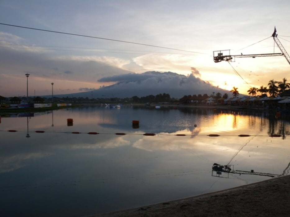
Overall the race is perfectly organized, the swim is very nice and warm in the 2 fresh water man-made lakes and the run takes you through some rice fields and small villages. Gatorade, water and Geld are provided, there is even some shade on the run. On the bike, the drinks are served in bike bottles, which is really an excellent service!

Further information at

http://www.ironman703phil.com

Tour gallery

Tour map and elevation profile

  • Open Street Map
  • Google
Minimum height 9 m Maximum height 113 m Detailed view

More about the tour author

mblanarik
Member since 2006

Send private message

Comments

Fligh to Manila and then take a connecting flight either to Naga (Pili Airport) or to Legazpi City. Pili is about 20min drive from Naga, while Legazpi is bit farther away. Both airports are served by the local air companies Cebu Air and Air Philippines. The Cebu Air airplanes are smaller turbo props, so luggage (bike) could be a problem when you'll be coming with the crowd on Thursday or Friday. Air Philippines operates a fleet of mid sized jets where luggage is not any issue.


2009 the local organization of the event was excellent with frequent shuttles between the airports, the suggested hotels and the T zone.

Even luggage pre-check on Monday early morning after the race was done in the corresponding hotel premisses! So one did not have to mess around with the bike case at the small local airport early morning.

GPS tracks

Trackpoints
  • GPX / Garmin Map Source (gpx) download
  • TCX / Garmin Training Center® (tcx) download
  • CRS / Garmin Training Center® (crs) download
  • Google Earth (kml) download
  • G7ToWin (g7t) download
  • TTQV (trk) download
  • Overlay (ovl) download
  • Fugawi (txt) download
  • Kompass (DAV) Track (tk) download
  • Track data sheet (pdf) download
  • Original file of the author (gpx) download

More about the tour author

mblanarik
Member since 2006

Send private message
Share track
Add to my favorites
Remove from my favorites
Edit tags
My score
Rate
Track: Ironman 70.3 Philippines
Type: Road biking
Distance: 86,8 km
Evaluated on:
Duration:
Day(s)
Hour(s)
Minute(s)
Score: Landscape Fun factor Fitness Technique