


Start beim Friedhof in Stadtschlaining Richtung Drumling und Bad Tatzmannsdorf. Auffahrt auf die B 50 . Umfahrung von Oberwart auf der B 63a und weiter auf der B 63 bis Großpetersdorf. Dort Richtung Eisenberg nach Hannersdorf fahren und bei Burg Richtung Kotezicken abbiegen. Über Kotezicken und Koh- und Kirchfidisch nach St. Michael und dort auf die B 57 nach rechts über Rauchwart bis Ollersdorf fahren. Dort zuerst links und dann rechts Richtung Stinatz/Wörterberg abzweigen und über Wolfau und Markt Allhau bis Grafenschachen radeln. Rechts abbiegen und über Pinkafeld und Oberschützen wieder auf die B 50 fahren und auf der Höhe Mariasdorf rechts über Neustift/Schlaining ins Ziel nach Stadtschlaining.
Further information at
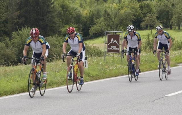
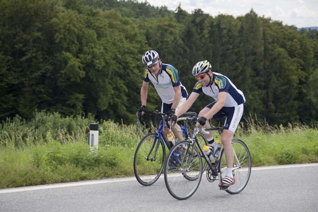
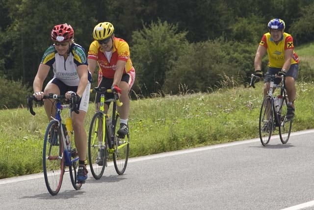
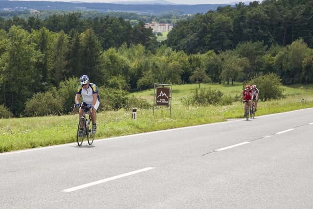
http://www.radarena.atTour gallery
Tour map and elevation profile
Minimum height 236 m
Maximum height 493 m
More about the tour author
|
|
radler |
Comments

GPS tracks
Trackpoints-
GPX / Garmin Map Source (gpx) download
-
TCX / Garmin Training Center® (tcx) download
-
CRS / Garmin Training Center® (crs) download
-
Google Earth (kml) download
-
G7ToWin (g7t) download
-
TTQV (trk) download
-
Overlay (ovl) download
-
Fugawi (txt) download
-
Kompass (DAV) Track (tk) download
-
Track data sheet (pdf) download
-
Original file of the author (gpx) download
More about the tour author
|
|
radler |
Add to my favorites
Remove from my favorites
Edit tags
Open track
My score
Rate