Login

Forgot your login?

Cookies have to be accepted!
Your browser's cookie functionality is disabled. Please enable this functionality.

Not a member yet?

Register now
Login

Available for registred users only

Log in to use this feature.

Forgot your login?

Cookies have to be accepted!
Your browser's cookie functionality is disabled. Please enable this functionality.

Not a member yet?

Register now
Filter
Categories
Advanced filters
  • Distance (km)
  • Height
Save filters Reset filter

TrackRank

QRCode

Technical data

Distance72,1 km Height298 m Way down288 m Duration00:00 h:m Date20.07.2006
Scores Author User Landscape Fun factor Fitness Technique

Statistics

1491 Views 1 Score 391 Downloads 5.00 Average
Rate
  • Track data sheet
  • Directions
  • Downloads
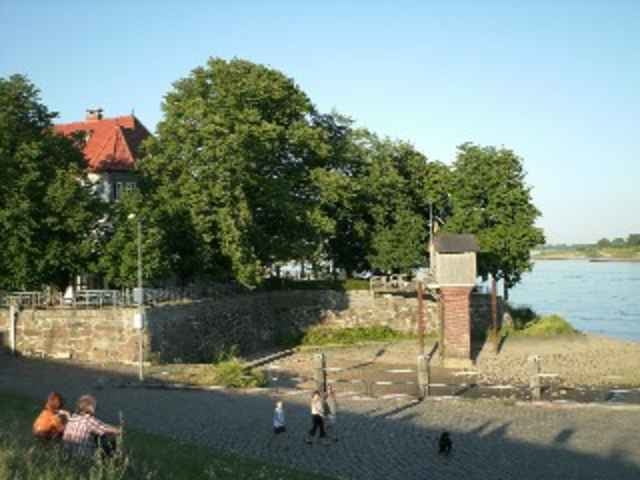
Eine der klassischen Rennradtrainingstrecken in den Vier- und Marschlanden. Eignet sich allerdings auch als Familientour mit Badeaufenthalten an einem der vielen Gewässer.

Further information at

http://www.rissen.de/radfreunde

Tour gallery

Tour map and elevation profile

  • Open Street Map
  • Google
Minimum height -29 m Maximum height 9 m Detailed view

More about the tour author

wilf
Member since 2006

Send private message

Comments

GPS tracks

Trackpoints
  • GPX / Garmin Map Source (gpx) download
  • TCX / Garmin Training Center® (tcx) download
  • CRS / Garmin Training Center® (crs) download
  • Google Earth (kml) download
  • G7ToWin (g7t) download
  • TTQV (trk) download
  • Overlay (ovl) download
  • Fugawi (txt) download
  • Kompass (DAV) Track (tk) download
  • Track data sheet (pdf) download
  • Original file of the author (gpx) download

More about the tour author

wilf
Member since 2006

Send private message
Share track
Add to my favorites
Remove from my favorites
Edit tags
My score
Rate
Track: Vierlande
Type: Road biking
Distance: 72,1 km
Evaluated on:
Duration:
Day(s)
Hour(s)
Minute(s)
Score: Landscape Fun factor Fitness Technique