Login

Forgot your login?

Cookies have to be accepted!
Your browser's cookie functionality is disabled. Please enable this functionality.

Not a member yet?

Register now
Login

Available for registred users only

Log in to use this feature.

Forgot your login?

Cookies have to be accepted!
Your browser's cookie functionality is disabled. Please enable this functionality.

Not a member yet?

Register now
Filter
Categories
Advanced filters
  • Distance (km)
  • Height
Save filters Reset filter

TrackRank

QRCode

Technical data

Distance51,8 km Height38 m Way down37 m Duration4 days 0 h Date09.09.1987
Scores Author Landscape Fun factor Fitness Technique

Statistics

4351 Views Scores 68 Downloads Average
Rate
  • Track data sheet
  • Directions
  • Downloads
!!! Der Track wurde auf einer topographischen Karte erstellt und nicht mit einem GPS-Gerät aufgezeichnet !!!

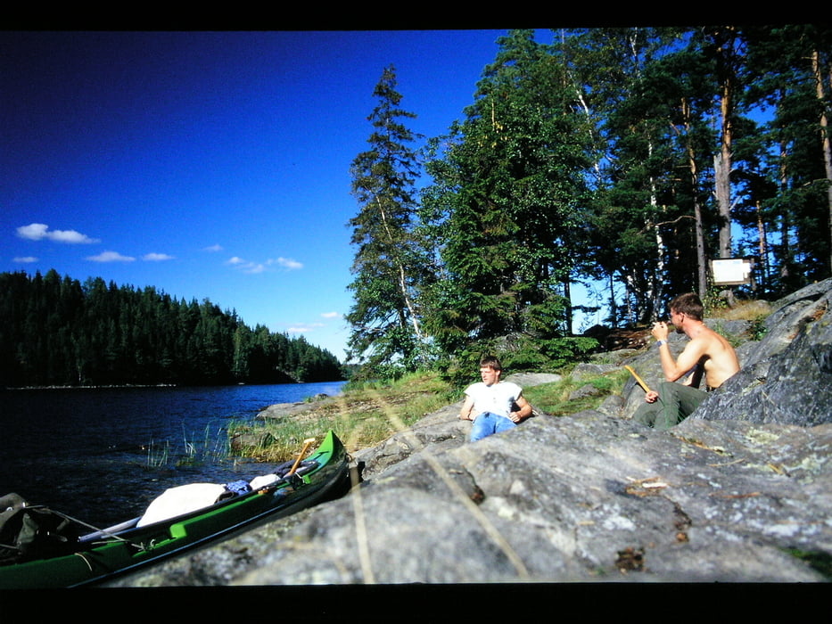
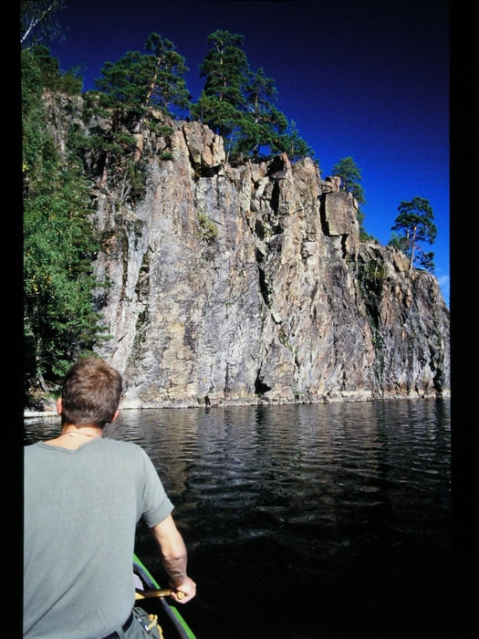
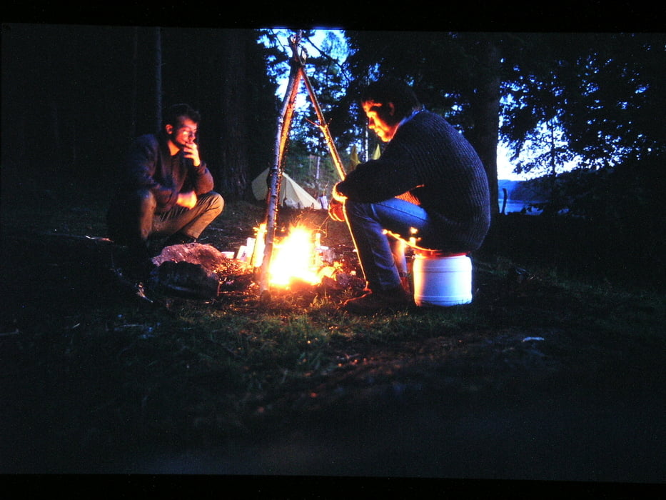
Nach den regnerischen Tagen in Norwegen auf dem "Mosvatnet" war unsere Tour im "Dalsland Seensystem" im Oktober 1987 das reinste Zuckerschlecken. Nur Nachts war es teilweise schon unangenehm kalt. 

Tourbeschreibung siehe auch Tour: Dalsland Seensystem Lelang

(Haftungsausschluss: siehe Nutzungsbestimmungen)

Further information at

http://de.wikipedia.org/wiki/Dalsland

Tour gallery

Tour map and elevation profile

  • Open Street Map
  • Google
Minimum height 96 m Maximum height 114 m Detailed view

More about the tour author

riemchens
Member since 2009

Send private message

Comments

Bengtsfors ist auf allen Karten gut zu finden.

GPS tracks

Trackpoints
  • GPX / Garmin Map Source (gpx) download
  • TCX / Garmin Training Center® (tcx) download
  • CRS / Garmin Training Center® (crs) download
  • Google Earth (kml) download
  • G7ToWin (g7t) download
  • TTQV (trk) download
  • Overlay (ovl) download
  • Fugawi (txt) download
  • Kompass (DAV) Track (tk) download
  • Track data sheet (pdf) download
  • Original file of the author (gpx) download

More about the tour author

riemchens
Member since 2009

Send private message
Share track
Add to my favorites
Remove from my favorites
Edit tags
My score
Rate
Track: Dalsland Seensystem - Östra Silen
Type: Boat and canoe
Distance: 51,8 km
Evaluated on:
Duration:
Day(s)
Hour(s)
Minute(s)
Score: Landscape Fun factor Fitness Technique