


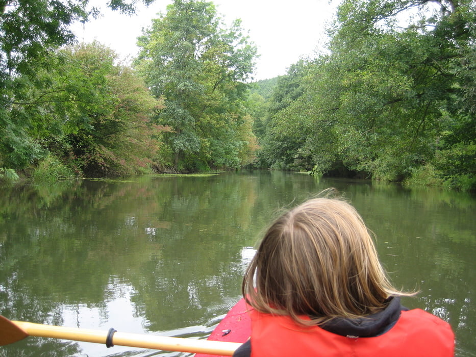
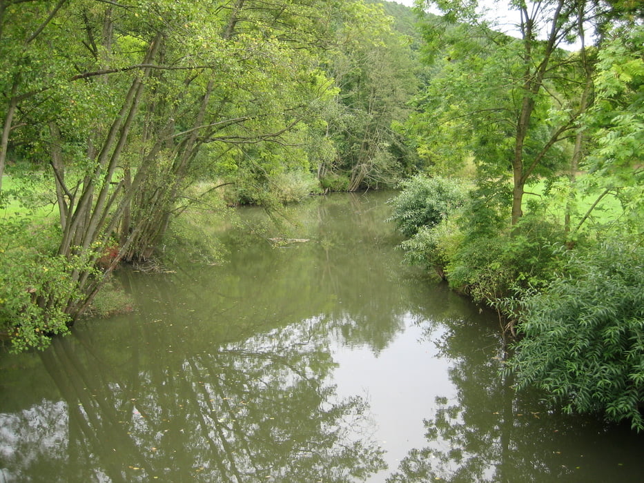
Die Fränkische Saale fließt zumeist in südwestlicher Richtung entlang des Südostrands der Rhön. Ein Fluss, der auch von Anfängern in Verleihkanus befahren wird. Unter einem Pegel von 160 cm sollte auf der Saale in diesem Abschnitt nicht gepaddelt werden.
Pegel Salz
Weitere Touren auf der Fränkischen Saale:
Further information at
http://de.wikipedia.org/wiki/Fränkische_SaaleTour gallery
Tour map and elevation profile
Minimum height 217 m
Maximum height 229 m
More about the tour author
|
|
riemchens |
Comments

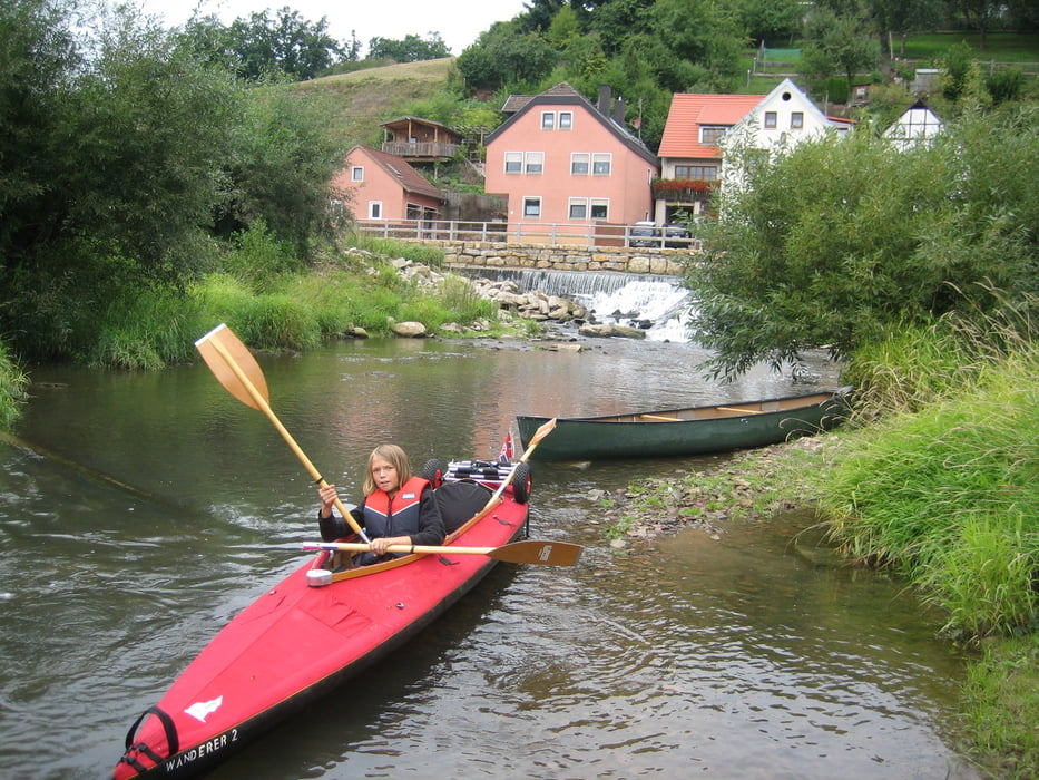
Die Einstiegstelle liegt direkt bei Bad Neustadt an der Bundesstrasse. Es ist die früheste Einstiegstelle auf der Saale, oberhalb der Brücke ist die Befahrung der Saale verboten.
GPS tracks
Trackpoints-
GPX / Garmin Map Source (gpx) download
-
TCX / Garmin Training Center® (tcx) download
-
CRS / Garmin Training Center® (crs) download
-
Google Earth (kml) download
-
G7ToWin (g7t) download
-
TTQV (trk) download
-
Overlay (ovl) download
-
Fugawi (txt) download
-
Kompass (DAV) Track (tk) download
-
Track data sheet (pdf) download
-
Original file of the author (gpx) download
More about the tour author
|
|
riemchens |
Add to my favorites
Remove from my favorites
Edit tags
Open track
My score
Rate