
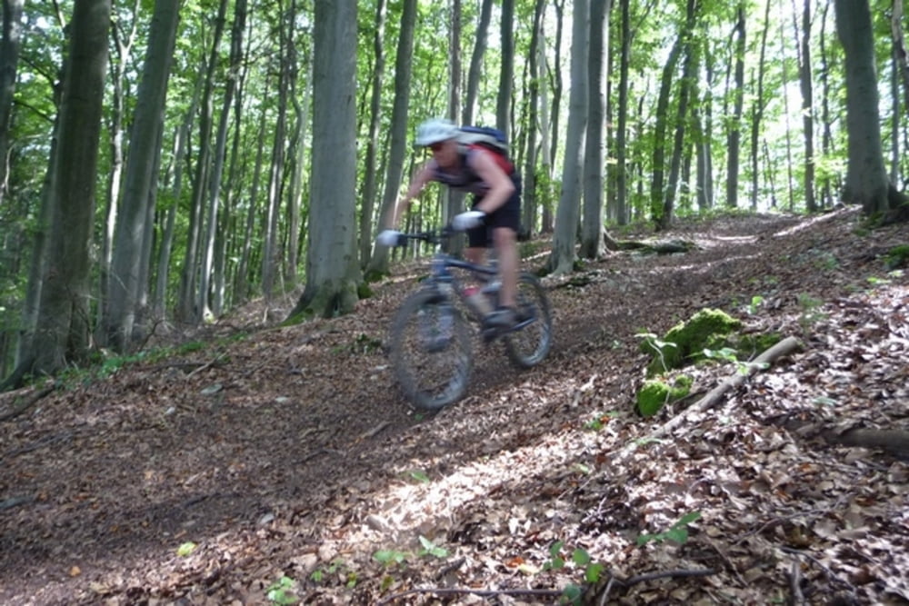

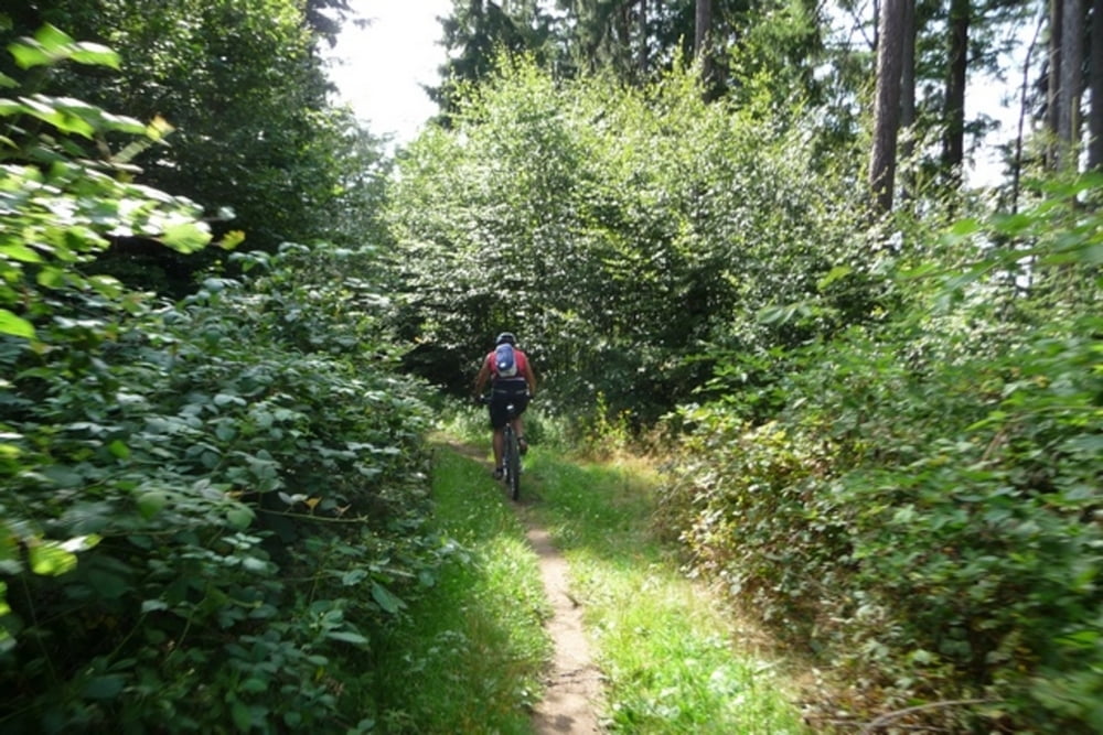
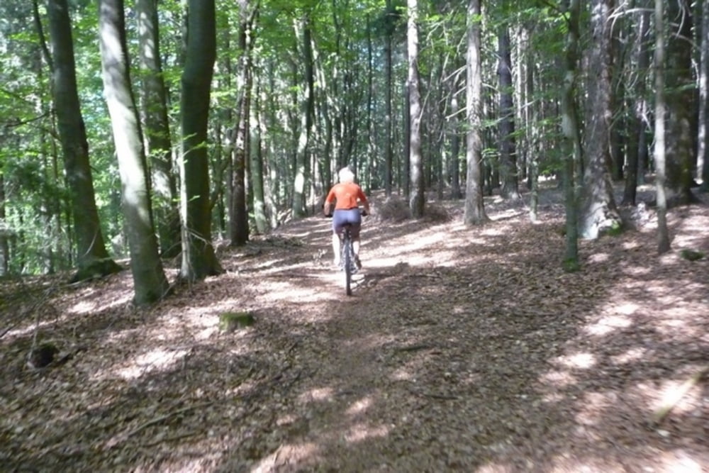
Der Anton-Leidinger-Weg ist ein Wanderweg, der sich super mit dem Mountainbike fahren lässt. Die ganze Strecke ist durchgehend fahrbar und mit sehr vielen Singletrails gespickt. Auch bei nicht optimalen Bedingungen kann die Strecke noch befahren werden.
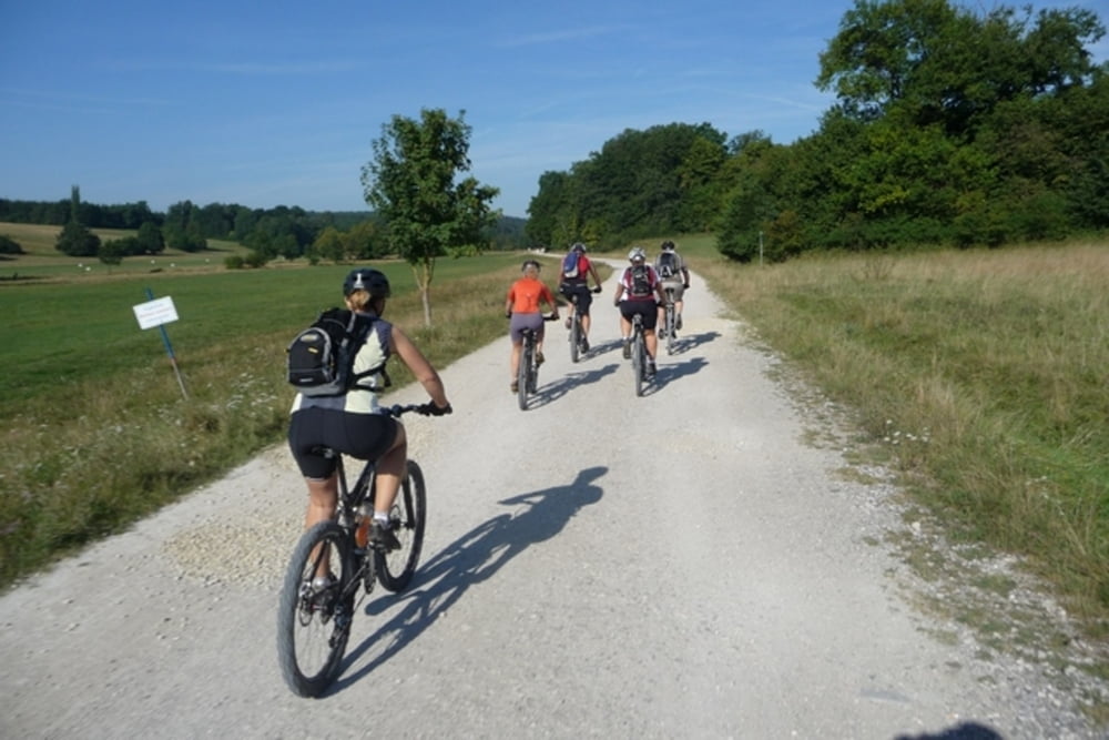
Es handelt sich nicht um einen Rundkurs. Daher empfiehlt sich die Anreise mit dem Zug. Sowohl Amberg als auch Nürnberg sind im VGN.
Als Rast empfiehlt sich der Moritzberg nach ca. 55 km. Leider war die Kneipe bei meiner letzten Fahrt im August geschlossen.
Ich bin bisher immer von Amberg nach Nürnberg gefahren. In diese Richtung sind alle Anstiege fahrbar.
Tour gallery
Tour map and elevation profile
Minimum height 313 m
Maximum height 618 m
More about the tour author

|
Maplebiker |
Comments

Start der Aufzeichnung ist in Amberg am Bahnhof. Die Tour endet in Nürnberg am Tiergarten. Von dort geht es noch zur nächsten S-Bahn Station, mit der man dann wieder zum HBF Nürnberg fahren kann.
GPS tracks
Trackpoints-
GPX / Garmin Map Source (gpx) download
-
TCX / Garmin Training Center® (tcx) download
-
CRS / Garmin Training Center® (crs) download
-
Google Earth (kml) download
-
G7ToWin (g7t) download
-
TTQV (trk) download
-
Overlay (ovl) download
-
Fugawi (txt) download
-
Kompass (DAV) Track (tk) download
-
Track data sheet (pdf) download
-
Original file of the author (gpx) download
More about the tour author
|
|
Maplebiker |
Add to my favorites
Remove from my favorites
Edit tags
Open track
My score
Rate