


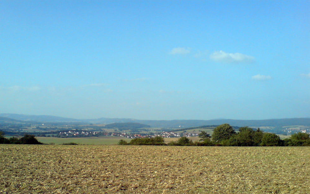
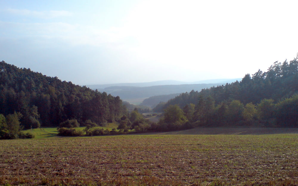
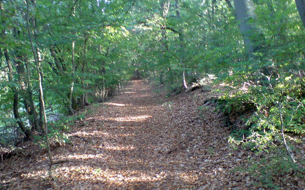
Tour führt von Bad Neustadt aus an Rödles vorbei nach Unterelsbach. Von dort aus geht´s nach einem kleinen Abstecher in Richtung Oberelsbach nach Frickenhausen. Zurück führt der Weg dann durch Wechterswinkel und Lebenhan. Die Route verläuft größtenteils auf beschilderten Mountainbikewegen und ist technisch nicht besonders anspruchsvoll.
Further information at
http://rhoenline.de/Tour gallery

Tour map and elevation profile
Minimum height 228 m
Maximum height 470 m
More about the tour author

|
lized |
Comments
Start- und Endpunkt nahe Innenstadt Bad Neustadt
GPS tracks
Trackpoints-
GPX / Garmin Map Source (gpx) download
-
TCX / Garmin Training Center® (tcx) download
-
CRS / Garmin Training Center® (crs) download
-
Google Earth (kml) download
-
G7ToWin (g7t) download
-
TTQV (trk) download
-
Overlay (ovl) download
-
Fugawi (txt) download
-
Kompass (DAV) Track (tk) download
-
Track data sheet (pdf) download
-
Original file of the author (gpx) download
More about the tour author
|
|
lized |
Add to my favorites
Remove from my favorites
Edit tags
Open track
My score
Rate
Schöne Tour - Zusatzempfehlungen
Die Ecke runter nach Bad Neustadt haben wir abgekürzt und sind dafür in Frickenhausen am dortigen Badesee gestartet. Nach der Tour ein Sprung ins kühle Naß und allenfalls eine Einkehr im Seecafe dort.
Danke!
irving