Login

Forgot your login?

Cookies have to be accepted!
Your browser's cookie functionality is disabled. Please enable this functionality.

Not a member yet?

Register now
Login

Available for registred users only

Log in to use this feature.

Forgot your login?

Cookies have to be accepted!
Your browser's cookie functionality is disabled. Please enable this functionality.

Not a member yet?

Register now
Filter
Categories
Advanced filters
  • Distance (km)
  • Height
Save filters Reset filter

TrackRank

QRCode

Technical data

Distance6,4 km Height447 m Way down347 m Duration04:00 h:m Date25.09.2009
Scores Author Landscape Fun factor Fitness Technique

Statistics

518 Views Scores 31 Downloads Average
Rate
  • Track data sheet
  • Directions
  • Downloads
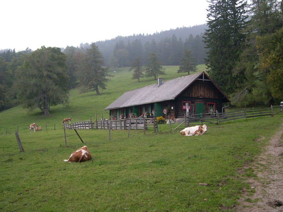
Parkplatz Ebenwaldhöhe.Auf roter Markierung Richtung Reisalpenhaus.Beim Drehkreuz links halten und unmarkiert auf den Hochstaff.Weg ist kaum zu verfehlen.Für Winterbegehungen noch teilweise mit roten Punkten auf den Bäumen bezeichnet.Vom Gipfel wieder unmarkiert Richtung Kleinzeller Hinteralm.Auf roter Markierung weiter bis zur Almhütte(der Weg führt dann weiter bis zum Reisalpenhaus).Wenn der Sennbetrieb noch jahreszeitmässig aktuell ist, kleine Moststärkung oder Glas Rotwein.Wenn die alte Sennerin da ist, trinkt sie gerne einen mit.Zurück auf roter Markierung ,um den Hochstaff herum ,wieder zum Parkplatz Ebenwaldhöhe.Leider wird dort gerade eine Forststrasse um(über)den Hochstaff gebaut.Viel Betrieb!!!

Tour gallery

Tour map and elevation profile

  • Open Street Map
  • Google
Minimum height 941 m Maximum height 1311 m Detailed view

More about the tour author

LeoCheops
Member since 2008

Send private message

Comments

GPS tracks

Trackpoints
  • GPX / Garmin Map Source (gpx) download
  • TCX / Garmin Training Center® (tcx) download
  • CRS / Garmin Training Center® (crs) download
  • Google Earth (kml) download
  • G7ToWin (g7t) download
  • TTQV (trk) download
  • Overlay (ovl) download
  • Fugawi (txt) download
  • Kompass (DAV) Track (tk) download
  • Track data sheet (pdf) download
  • Original file of the author (gpx) download

More about the tour author

LeoCheops
Member since 2008

Send private message
Share track
Add to my favorites
Remove from my favorites
Edit tags
My score
Rate
Track: Hochstaff (24.09.2009)
Type: Mountain hiking
Distance: 6,4 km
Evaluated on:
Duration:
Day(s)
Hour(s)
Minute(s)
Score: Landscape Fun factor Fitness Technique