Login

Forgot your login?

Cookies have to be accepted!
Your browser's cookie functionality is disabled. Please enable this functionality.

Not a member yet?

Register now
Login

Available for registred users only

Log in to use this feature.

Forgot your login?

Cookies have to be accepted!
Your browser's cookie functionality is disabled. Please enable this functionality.

Not a member yet?

Register now
Filter
Categories
Advanced filters
  • Distance (km)
  • Height
Save filters Reset filter

TrackRank

QRCode

Technical data

Distance374,1 km Height2264 m Way down2280 m Duration20:00 h:m Date27.11.2009
Scores Author Landscape Fun factor Fitness Technique

Statistics

3301 Views Scores 108 Downloads Average
Rate
  • Track data sheet
  • Directions
  • Downloads
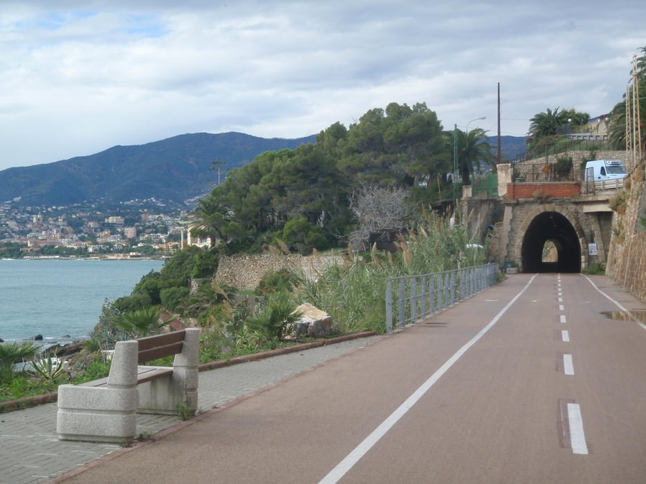
Goal of this trip was to cruise along the Cote d'Azur, always as close to the water as possible. Almost exclusively the track is on paved roads with good condition - only a few times I took a beach road which was not paved / in bad condition. If travelling with a pure road-bike, just take the parallel road. Quite a large part of the trip is on bike paths, sometimes on an old railroad which is very nice. The nicest part of the trip is Cannes - Saint-Tropez, but all the way stunning views! I did this trip in 4 days: 1: Albenga - Monte Carlo 2: Monte Carlo - Cannes 3: Cannes - Saint Maxime 4: Saint Maxime - Toulon On day 3 it might be of advantage to stay in Saint Tropez instead, but it is difficult to find a hotel there so I stayed in Saint-Maxime. Cannes - Saint Maxime is rather short, so I had still enough time to bike to Saint-Tropez in the afternoon.

Tour map and elevation profile

  • Open Street Map
  • Google
Minimum height -7 m Maximum height 132 m Detailed view

More about the tour author

jhurlebaus
Member since 2008

Send private message

Comments

By car or train to Albenga. I stayed in the "Residence Sole" in Albenga. There is a locked parking lot where I could leave my car for the days when I was gone. Train back from Toulon to Albenga is no problem, about 5 hours. Just make sure you catch a train that allows bikes.

GPS tracks

Trackpoints
  • GPX / Garmin Map Source (gpx) download
  • TCX / Garmin Training Center® (tcx) download
  • CRS / Garmin Training Center® (crs) download
  • Google Earth (kml) download
  • G7ToWin (g7t) download
  • TTQV (trk) download
  • Overlay (ovl) download
  • Fugawi (txt) download
  • Kompass (DAV) Track (tk) download
  • Track data sheet (pdf) download
  • Original file of the author (gpx) download

More about the tour author

jhurlebaus
Member since 2008

Send private message
Share track
Add to my favorites
Remove from my favorites
Edit tags
My score
Rate
Track: Cote d'Azur
Type: Road biking
Distance: 374,1 km
Evaluated on:
Duration:
Day(s)
Hour(s)
Minute(s)
Score: Landscape Fun factor Fitness Technique