


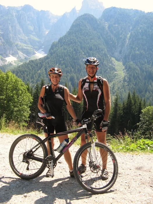
Unterwegs mit meiner Frau, auf "meiner" vor ca. 20 Jahren erstmals befahrenen Route.
Die GPX-Datei ist schon in Etappen eingeteilt, viel Spass beim nachfahren !!
Etappe_1: Altstädten/Allgäu, Schrofenpass, Flexen- Arlbergpass in das Schönverwall.
Etappe_2: In das Paznauntal, dann über den Fimberpass ins Unterengadin nach Sur_En.
Etappe_3: Durch die Uina-Schlucht über den Schlinig-Pass durch das Obere Vinschgau zur Naturnser-Alm.
Etappe_4: In dasUltental über das Rabbjoch in das Val di Sole.
Etappe_5: Val di Sole, Madonna d. C. , Ps. Bregn di Ors, Rif. Ghedina.
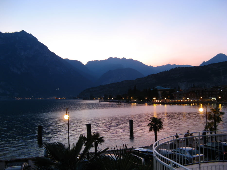
Etappe_6: Rif. Ghedina - Riva del Garda
Further information at
http://www.jhappach.deTour gallery
Tour map and elevation profile
Minimum height 86 m
Maximum height 2612 m
More about the tour author
|
|
jhappach |
Comments

Start: Oberallgäu
GPS tracks
Trackpoints-
GPX / Garmin Map Source (gpx) download
-
TCX / Garmin Training Center® (tcx) download
-
CRS / Garmin Training Center® (crs) download
-
Google Earth (kml) download
-
G7ToWin (g7t) download
-
TTQV (trk) download
-
Overlay (ovl) download
-
Fugawi (txt) download
-
Kompass (DAV) Track (tk) download
-
Track data sheet (pdf) download
-
Original file of the author (gpx) download
More about the tour author
|
|
jhappach |
Add to my favorites
Remove from my favorites
Edit tags
Open track
My score
Rate