


12. Dezember 2009
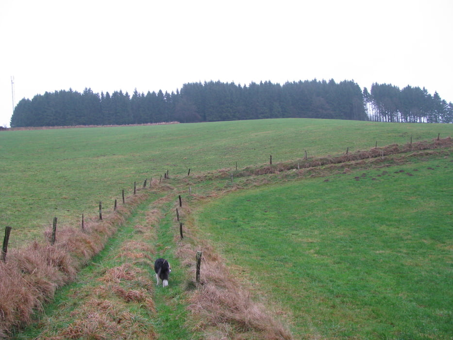
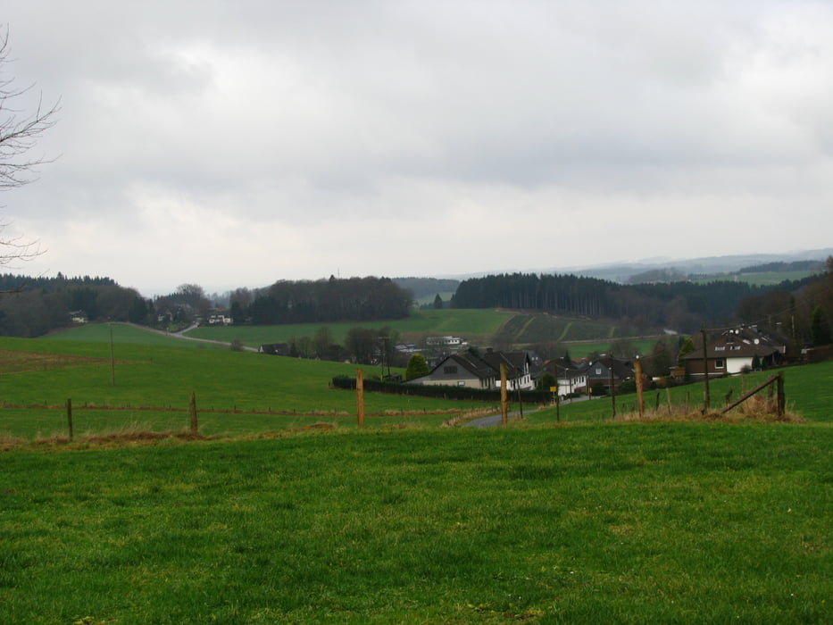
Die etwas verhaltene Bewertung beim Spassfaktor hängt mit dem trüben nasskalten Winterwetter zusammen. Denn eigentlich ist die Wanderung wirklich abwechslungsreich und landschaltflich reizvoll. Aufgrund der feuchten Witterung sind die Wirtschaftswege an der Sülz ziemlich aufgeweicht und matchig.
Die Wanderung orientiert sich an dem Tourenvorschlag 29 im Rother Wandführer "Bergisches Land". Es gibt allerdings kleinere Abweichungen insbesondere in der zweiten Hälfte der Wanderung.
Tour gallery


Tour map and elevation profile
Minimum height 248 m
Maximum height 396 m
More about the tour author

|
Comments

Wanderparkplatz am Kindergarten in Dohrgaul
GPS tracks
Trackpoints-
GPX / Garmin Map Source (gpx) download
-
TCX / Garmin Training Center® (tcx) download
-
CRS / Garmin Training Center® (crs) download
-
Google Earth (kml) download
-
G7ToWin (g7t) download
-
TTQV (trk) download
-
Overlay (ovl) download
-
Fugawi (txt) download
-
Kompass (DAV) Track (tk) download
-
Track data sheet (pdf) download
-
Original file of the author (gpx) download
More about the tour author
|
|
Add to my favorites
Remove from my favorites
Edit tags
Open track
My score
Rate