Login

Forgotten password?

Cookies have to be accepted!
Your browser's cookie functionality is disabled. Please enable this functionality.

Not a member yet?

Register now
Login

Available for registred users only

Log in to use this feature.

Forgotten password?

Cookies have to be accepted!
Your browser's cookie functionality is disabled. Please enable this functionality.

Not a member yet?

Register now
Filter
Categories
Advanced filters
  • Distance (km)
  • Height
Save filters Reset filter

TrackRank

QRCode

Technical data

Distance9,4 km Height867 m Way down972 m Duration03:00 h:m Date14.01.2010
Scores Author Landscape Fun factor Fitness Technique

Statistics

1226 Views Scores 95 Downloads Average
Rate
  • Track data sheet
  • Directions
  • Downloads

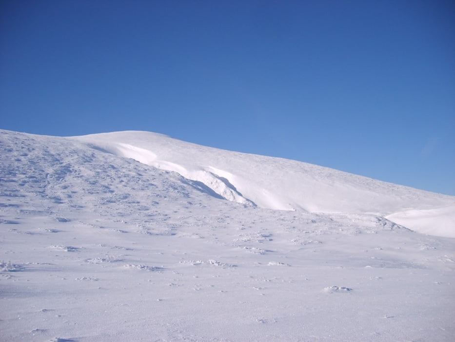
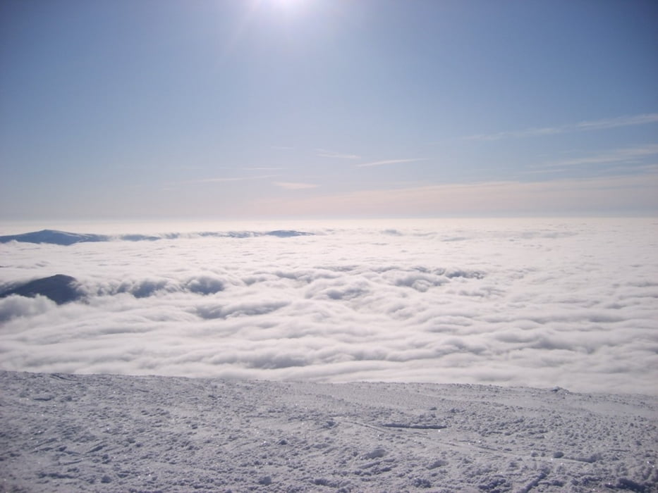
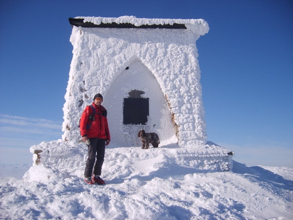
Vom Preiner Gscheid auf 1070 m führt der Weg über die ehemalige Schipiste hinauf bis in die Nähe des Waxriegelhauses (280m), dort entlang des Wanderweges in Serpentinen hinauf bis zum Karl-Ludwig Haus auf 1805m ( 1:30 ). Nach kurzer Rast über den flachen Rücken hinauf bis zur Heukuppe auf 2007m. Herrlicher Rundblick mit Hochschwab, Veitschalpe usw....

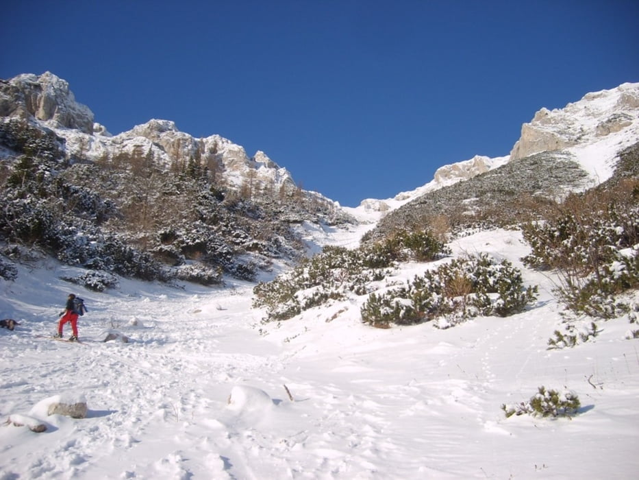
Da es sehr wenig Schnee gab, mußte man über den Anstiegsweg zurück zum Ausgangspunkt. Einzig bei der Abfahrt vom Gipfel konnte man entlang einer Rinne ohne Steinberührung bis zum Karl-Ludwig-Haus abfahren.

Tour gallery

Tour map and elevation profile

  • Open Street Map
  • Google
Minimum height 1051 m Maximum height 2014 m Detailed view

More about the tour author

renrew
Member since 2008

Send private message

Comments

Autobahnabfahrt S6 bei Mürzzuschlag Richtung Neuberg, Mariazell. Bis nach Kapellen und dort rechts zum Preiner Gscheid auf  1070m (gr. Parkplatz)

GPS tracks

Trackpoints
  • GPX / Garmin Map Source (gpx) download
  • TCX / Garmin Training Center® (tcx) download
  • CRS / Garmin Training Center® (crs) download
  • Google Earth (kml) download
  • G7ToWin (g7t) download
  • TTQV (trk) download
  • Overlay (ovl) download
  • Fugawi (txt) download
  • Kompass (DAV) Track (tk) download
  • Track data sheet (pdf) download
  • Original file of the author (gpx) download

More about the tour author

renrew
Member since 2008

Send private message
Share track
Add to my favorites
Remove from my favorites
Edit tags
My score
Rate
Track: Rax Heukuppe
Type: Ski touring
Distance: 9,4 km
Evaluated on:
Duration:
Day(s)
Hour(s)
Minute(s)
Score: Landscape Fun factor Fitness Technique