Login

Forgotten password?

Cookies have to be accepted!
Your browser's cookie functionality is disabled. Please enable this functionality.

Not a member yet?

Register now
Login

Available for registred users only

Log in to use this feature.

Forgotten password?

Cookies have to be accepted!
Your browser's cookie functionality is disabled. Please enable this functionality.

Not a member yet?

Register now
Filter
Categories
Advanced filters
  • Distance (km)
  • Height
Save filters Reset filter

TrackRank

QRCode

Technical data

Distance6,5 km Height529 m Way down0 m Duration02:00 h:m Date07.02.2010
Scores Author Landscape Fun factor Fitness Technique

Statistics

3583 Views Scores 283 Downloads Average
Rate
  • Track data sheet
  • Directions
  • Downloads

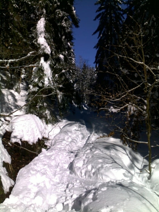
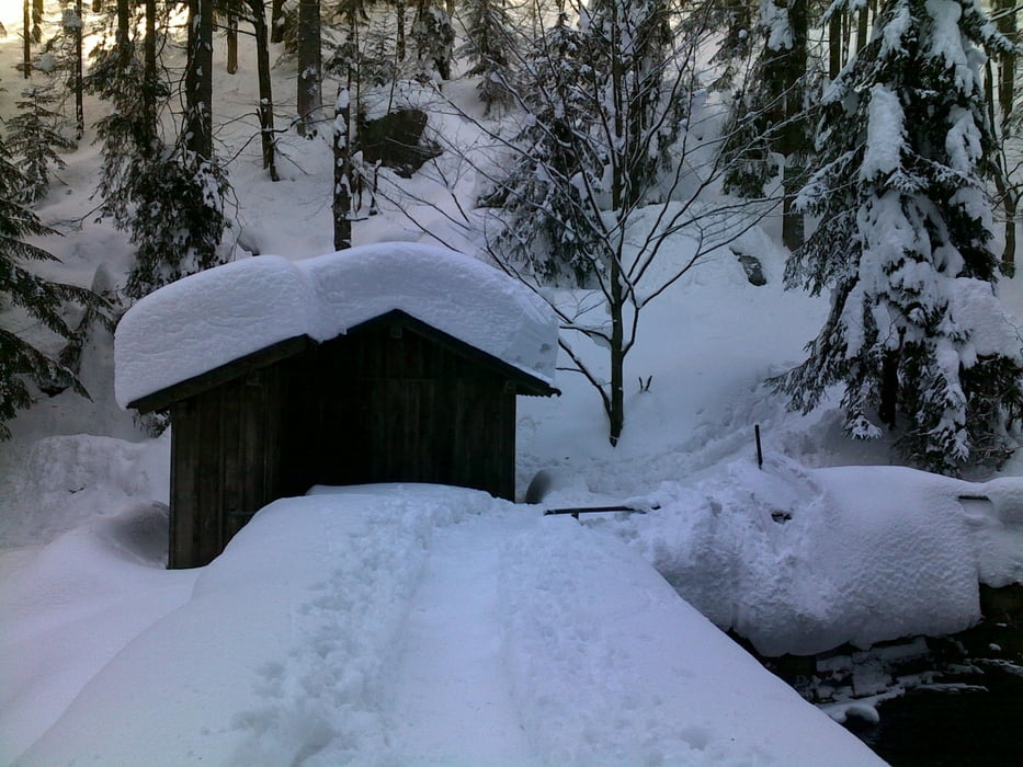
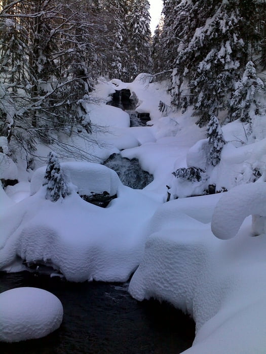
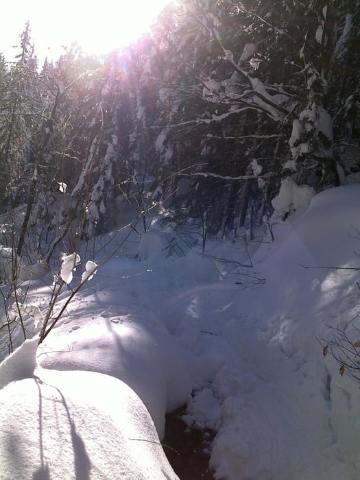
Wanderweg Nr. 2 zum Kleinen Arber

Einkehr in Chamer Hütte

zurück mit einem Leih-Schlitten (Spaß pur!)

Further information at

http://www.sc-bodenmais.de

Tour gallery

Tour map and elevation profile

  • Open Street Map
  • Google
Minimum height 752 m Maximum height 1306 m Detailed view

More about the tour author

Kagerbauer
Member since 2008

Send private message

Comments

Startpunkt: Wanderparkplatz in Bodenmais

GPS tracks

Trackpoints
  • GPX / Garmin Map Source (gpx) download
  • TCX / Garmin Training Center® (tcx) download
  • CRS / Garmin Training Center® (crs) download
  • Google Earth (kml) download
  • G7ToWin (g7t) download
  • TTQV (trk) download
  • Overlay (ovl) download
  • Fugawi (txt) download
  • Kompass (DAV) Track (tk) download
  • Track data sheet (pdf) download
  • Original file of the author (gpx) download

More about the tour author

Kagerbauer
Member since 2008

Send private message
Share track
Add to my favorites
Remove from my favorites
Edit tags
My score
Rate
Track: über Risslochschlucht zur Chamer Hütte
Type: Snowshoeing
Distance: 6,5 km
Evaluated on:
Duration:
Day(s)
Hour(s)
Minute(s)
Score: Landscape Fun factor Fitness Technique