


This tour was record with Garmin Colorado 300 and post-worked with Map Source.
For the famous Sella-Ronda you have two possibilities, in a clockwise circle “Orange” or in a counter clockwise circle “Green”. Both trails are about close to 50 km in total and are very nice. My favorite is the orange one - with the reason: the green one has a very long lifting part from Covara up to the Grödner Joch.
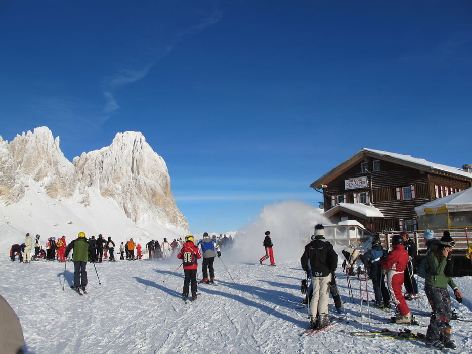
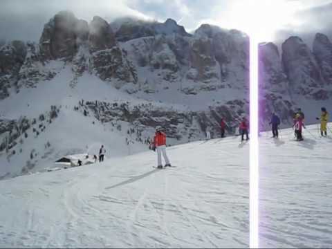
Starting point is Campitello in the Val di Fassa. With the funicular and a nice view to the mountain Plattkofel you arrive in the skiing area Col Rodella. At your first downhill there is a wonderful view to the Langkofel mountain and after using one ski lift you have a very long ski-run, passing the Sella Joch and down to Wolkenstein.
Via a walking bridge and some ski lifts you arrive at the Grödner Joch. From here a long ski-run ends in Colfosco and after a chair lift you arrive in Covara. Via a long funicular you arrive below the Piz Boe in 2000 m and from here fantastic ski-runs to Passo Campolongo and after a further chair lift to Araba.
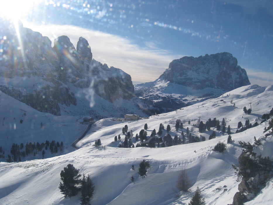
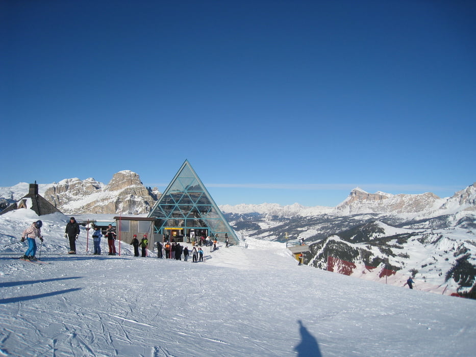
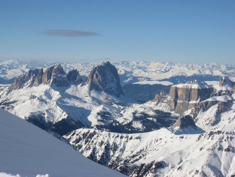
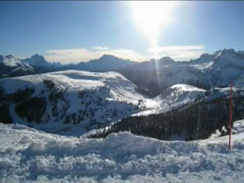
Two different funiculars guide to the Porta Vesco (the right one direct and the left one in two steps). From the top you have a wonderful view to the Sella-Group and to the glacier Marmolada. A long and in the beginning steep ski-run guides to the valley at Pont de Vauz and via ski lifts to Pordoi Joch and the skiing area Belvedere. From Belvedere you have a very nice view to the Sella Group and your starting point with the Langkofel mountain. Now we used the very long ski-run starting at 2395 m via the Belvedere and the valley ski-run down to Canazei in 1500 m. If you want closing the circle and not going to Canazei, than turn right to Pian Frataces and from there with a funicular back to starting area Col Rodella.
After a walk to the center of Canazei we used the ski-bus back to Campitello.
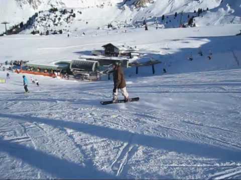
Have fun with this nice ski tour. The atached action videos shows:
Part 1 / 2: From Campitello via Wolkenstein to Araba
Part 2 / 2: From Araba via Belvedere to Canazei
Video 3: Sella-Ronda green and orange in one day
P.S. Video-clips to my gps-tours - based on different categories - you can find under the attached link in furtherinformation
Further information at
http://hvdh.info/Tour gallery
Tour map and elevation profile
Minimum height 1419 m
Maximum height 2527 m
More about the tour author
|
|
HvdH |
Comments

More about the tour author
|
|
HvdH |
Add to my favorites
Remove from my favorites
Edit tags
Open track
My score
Rate