


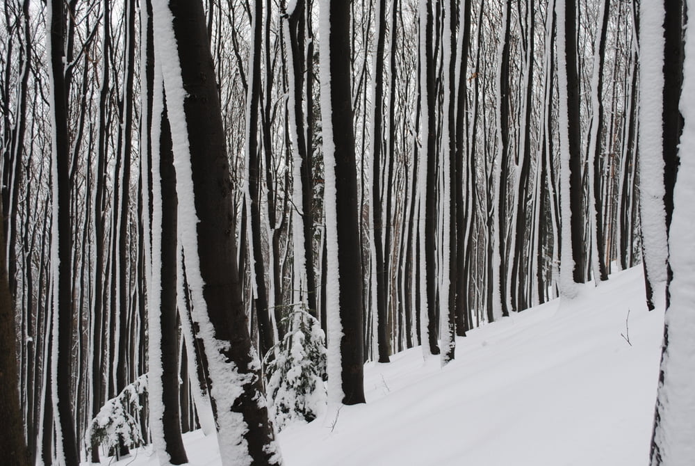
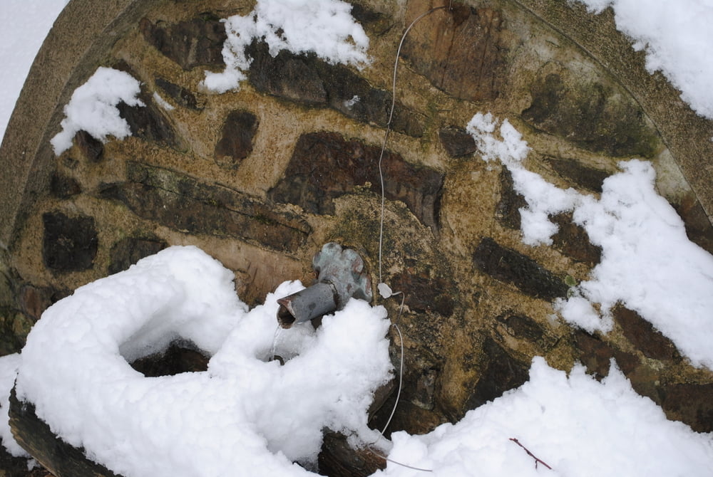
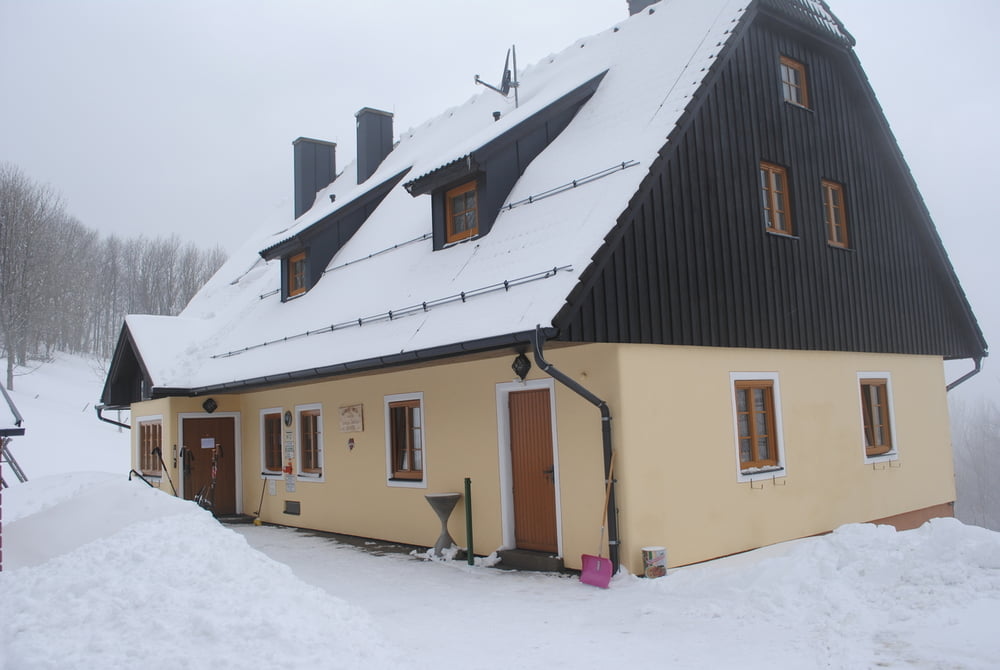
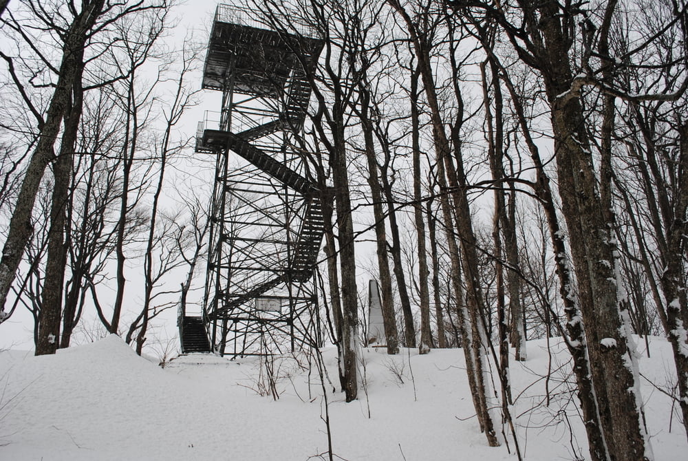
Start Parkplatz Forsthof.Frisch geschneit ,jede Menge Neuschnee.Auf Forststrasse (rote Markierung) vorbei am Gestüt bis zum Beginn des Githsteiges.Diesmal fast ungespurt durch den Neuschnee(eine Trittspur die ich benutzen konnte-besten Dank an meine "Vorgeher").Unwirkliche Fotoverhältnisse,meine Bilder schauen aus wie mit einen Schwarzweißfilm geschossen.Bis zur Kreuzung des Pensionistensteiges,vorbei an der Schöpfelquelle(einen Schluck muss man machen-auch wenn wie bei mir das Heferl unter Schnee lag und auch angefrohren war).Dann zum Schutzhaus .War überaschend sehr gut besucht und die Specklinsen schmeckten auch sehr gut.Nach Stärkung zum Gipfelkreuz und zur Matraswarte(bedingt durch die Schneelage habe ich mir einen Aufstieg erspart).Zurück wie Aufstieg -aber noch ein grosses Bier im Gasthof Forsthof(freundliche Wirtin).
Tour gallery
Tour map and elevation profile
Minimum height 443 m
Maximum height 900 m
More about the tour author
|
|
LeoCheops |
Comments

GPS tracks
Trackpoints-
GPX / Garmin Map Source (gpx) download
-
TCX / Garmin Training Center® (tcx) download
-
CRS / Garmin Training Center® (crs) download
-
Google Earth (kml) download
-
G7ToWin (g7t) download
-
TTQV (trk) download
-
Overlay (ovl) download
-
Fugawi (txt) download
-
Kompass (DAV) Track (tk) download
-
Track data sheet (pdf) download
-
Original file of the author (gpx) download
More about the tour author
|
|
LeoCheops |
Add to my favorites
Remove from my favorites
Edit tags
Open track
My score
Rate