Login

Forgotten password?

Cookies have to be accepted!
Your browser's cookie functionality is disabled. Please enable this functionality.

Not a member yet?

Register now
Login

Available for registred users only

Log in to use this feature.

Forgotten password?

Cookies have to be accepted!
Your browser's cookie functionality is disabled. Please enable this functionality.

Not a member yet?

Register now
Filter
Categories
Advanced filters
  • Distance (km)
  • Height
Save filters Reset filter

TrackRank

QRCode

Technical data

Distance6,0 km Height1647 m Way down24 m Duration06:00 h:m Date08.04.2010
Scores Author Landscape Fun factor Fitness Technique

Statistics

1258 Views Scores 136 Downloads Average
Rate
  • Track data sheet
  • Directions
  • Downloads


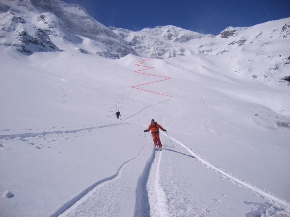
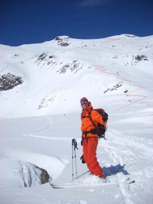
Vom Naturfreundehaus in Kolm Saigurn zuerst eben zur Lacheggklamm und dort zuerst Richtung Seilbahnstütze linkshaltend hinauf bis oberhalb der Waldgrenze auf ca. 1850m. Dann direkt hinauf zum Pilatuskees und auf der ebenen Fläche bei ca. 2200 m auf die rechte Seite hinauf zum Hocharn.
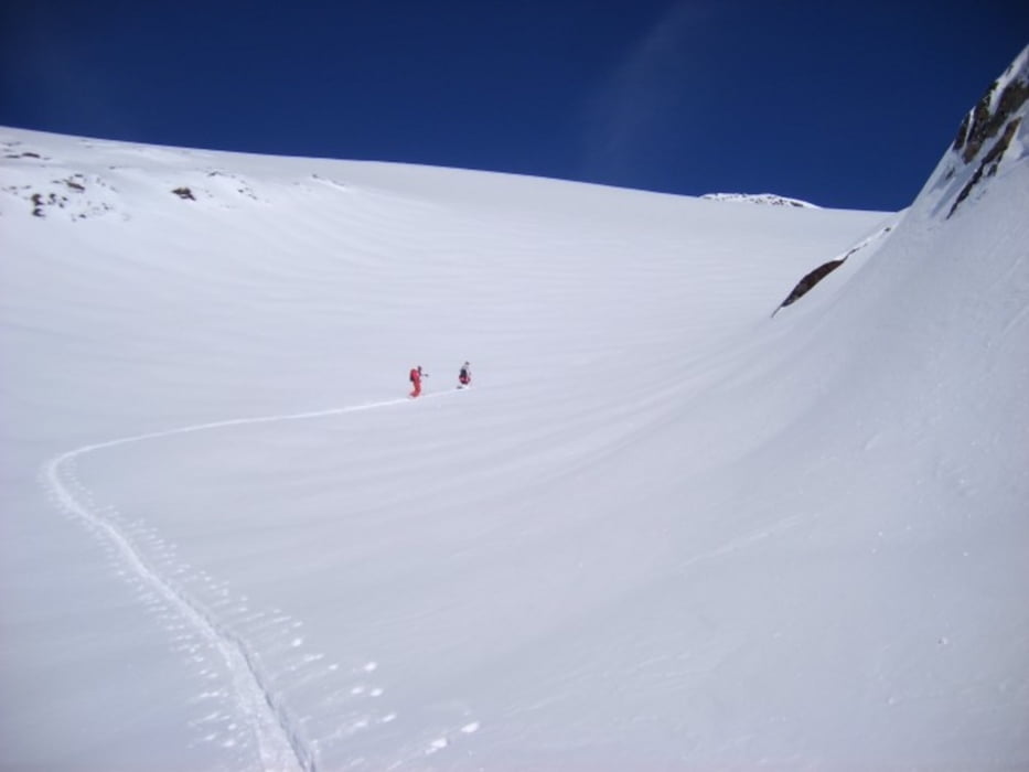
Abfahrt fast gleich wie Aufstieg.

Die angegebenen 6.0 Kilometer sind nur der Anstieg.

Tour gallery

Tour map and elevation profile

  • Open Street Map
  • Google
Minimum height 1592 m 
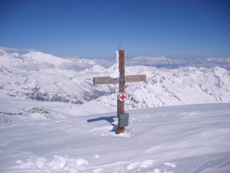
Maximum height 3264 m Detailed view

More about the tour author

renrew
Member since 2008

Send private message

Comments

Bischofshofen, St. Johann im Pongau - Taxenbach - Rauriesertal bis zum Parkplatz / wenn man beim NF Haus übernachtet, kann man auch direkt bis zum Haus fahren.

GPS tracks

Trackpoints
  • GPX / Garmin Map Source (gpx) download
  • TCX / Garmin Training Center® (tcx) download
  • CRS / Garmin Training Center® (crs) download
  • Google Earth (kml) download
  • G7ToWin (g7t) download
  • TTQV (trk) download
  • Overlay (ovl) download
  • Fugawi (txt) download
  • Kompass (DAV) Track (tk) download
  • Track data sheet (pdf) download
  • Original file of the author (gpx) download

More about the tour author

renrew
Member since 2008

Send private message
Share track
Add to my favorites
Remove from my favorites
Edit tags
My score
Rate
Track: Hocharn
Type: Ski touring
Distance: 6,0 km
Evaluated on:
Duration:
Day(s)
Hour(s)
Minute(s)
Score: Landscape Fun factor Fitness Technique